Santa Fe in Maury County, Tennessee — The American South (East South Central)
Maury Light Artillery
Inscription.
(front)
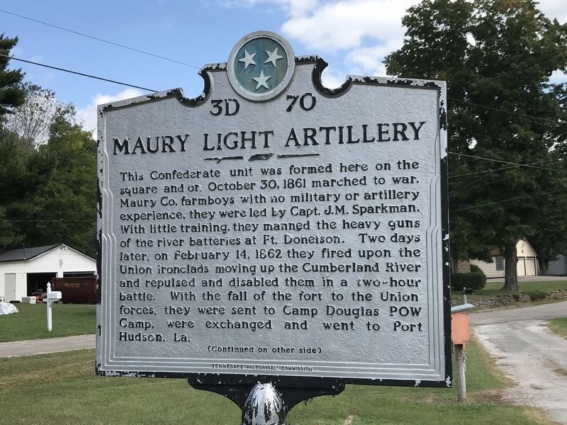
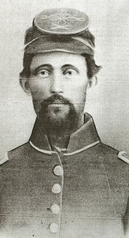
This Confederate unit was formed here on the square and on October 30, 1861 marched to war. Maury Co. farmboys with no military or artillery experience , they were led by Capt. J.M. Sparkman. With little training, they manned the heavy guns of the river batteries at Ft. Donelson. Two days later, on Feb. 14, 1862 they fired upon the Union iconclads moving up the Cumberland River and repulsed and disabled them in a two-hour battle. With the fall of the fort to the Union forces, they were sent to Camp Douglas POW Camp, were exchanged and went to Port Hudson, La.
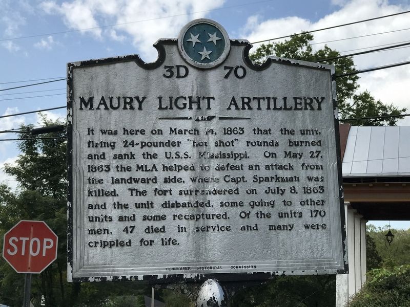
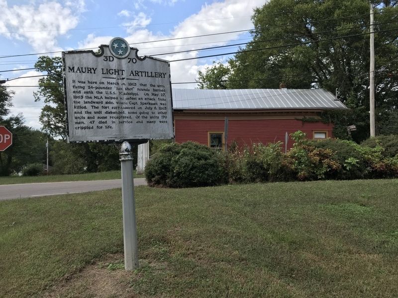
It was here on March 14, 1863 that the unit, firing 24-pounder “hot shot” rounds burned and sank the U.S.S. Mississippi. On May 27, 1863 the MLA helped to defeat an attack from the landward side, where Capt. Sparkman was killed. The fort surrendered on July 8, 1863 and the unit disbanded, some going to other units and some recaptured. Of the unit's 170 men, 47 died in service and many were crippled for life.
Erected by Tennessee Historical Commission. (Marker Number 3D 70.)
Topics and series. This historical marker is listed in this topic list: War, US Civil. In addition, it is included in the Tennessee Historical Commission series list. A significant historical date for this entry is October 30, 1861.
Location. 35° 44.143′ N, 87° 7.689′ W. Marker is in Santa Fe, Tennessee, in Maury County. Marker is on Fly Road north of Water Valley Road, on the right when traveling north. Touch for map. Marker is in this post office area: Santa Fe TN 38482, United States of America. Touch for directions.
Other nearby markers. At least 8 other markers are within 9 miles of this marker, measured as the crow flies. Birthplace of James Percy Priest (approx. 7.2 miles away); Duck River Ridge Smarden and Mobley's Cut / Duck River Ridge and The Treaties of Hopewell (approx. 7.4 miles away); The Gordon House (approx. 7˝ miles away); a different marker also named The Gordon House (approx. 7˝ miles away); Tennessee Valley Divide (approx. 7.6 miles away); Greenbrier (approx. 7.6 miles away); GrafTech International / National Carbon Company (approx. 8.1 miles away); Sam Davis (approx. 8.2 miles away).
Credits. This page was last revised on September 29, 2020. It was originally submitted on September 28, 2020, by Duane and Tracy Marsteller of Murfreesboro, Tennessee. This page has been viewed 279 times since then and 42 times this year. Photos: 1, 2, 3, 4. submitted on September 28, 2020, by Duane and Tracy Marsteller of Murfreesboro, Tennessee. • Bernard Fisher was the editor who published this page.


