Near Columbia in Maury County, Tennessee — The American South (East South Central)
First County Seat Location
Inscription.
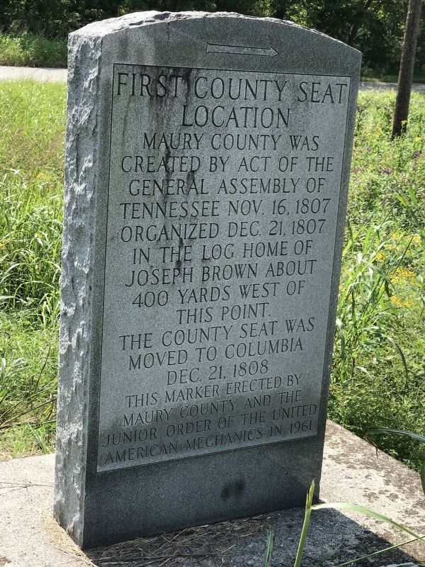
Maury County was created by act of the General Assembly of Tennessee Nov. 16, 1807
Organized Dec. 21, 1807 in the log home of Joseph Brown about 400 yards west of this point.
The county seat was moved to Columbia Dec. 21, 1808
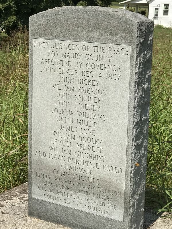
First justices of the peace for Maury County appointed by Governor John Sevier Dec. 4 1807
John Dickey • William Frierson • John Spencer • John Lindsay • Joshua Williams • John Miller • James Love • William Dooley • Lemuel Prewett • William Gilchrist • and Isaac Roberts, elected chairman.
Commissioners Joshua Williams, William Frierson, Isaac Roberts, John Lindsay, and Joseph Brown located the county seat at Columbia
Erected 1961 by Maury County and The Junior Order of the United American Mechanics.
Topics. This historical marker is listed in these topic lists: Government & Politics • Political Subdivisions. A significant historical date for this entry is November 16, 1807.
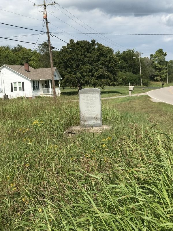
Location. 35° 34.51′ N, 87° 1.432′ W. Marker is near Columbia, Tennessee, in Maury County. Marker is at the intersection of Mooresville Pike and Morrow Lane, on the right when traveling south on Mooresville Pike. Touch for map. Marker is at or near this postal address: 912 Mooresville Pike, Columbia TN 38401, United States of America. Touch for directions.
Other nearby markers. At least 8 other markers are within 2 miles of this marker, measured as the crow flies. Jefferson Davis Monument (approx. ¾ mile away); Elm Springs (approx. 0.8 miles away); Historic Elm Springs (approx. 0.8 miles away); Joseph Brown (approx. 1.1 miles away); Advance and Retreat (approx. 1.1 miles away); Edward Franklin “Pop” Geers (approx. 1.9 miles away); Rose Hill Confederate Memorial (approx. 2 miles away); The Confederate Monument (approx. 2 miles away). Touch for a list and map of all markers in Columbia.
Credits. This page was last revised on September 28, 2020. It was originally submitted on September 28, 2020, by Duane and Tracy Marsteller of Murfreesboro, Tennessee. This page has been viewed 181 times since then and 13 times this year. Photos: 1, 2, 3. submitted on September 28, 2020, by Duane and Tracy Marsteller of Murfreesboro, Tennessee. • Devry Becker Jones was the editor who published this page.


