Fort Smith in Sebastian County, Arkansas — The American South (West South Central)
At the Edge of Indian Country
Fort Smith National Historic Site
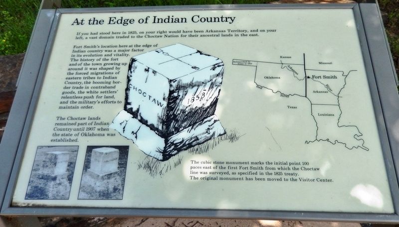
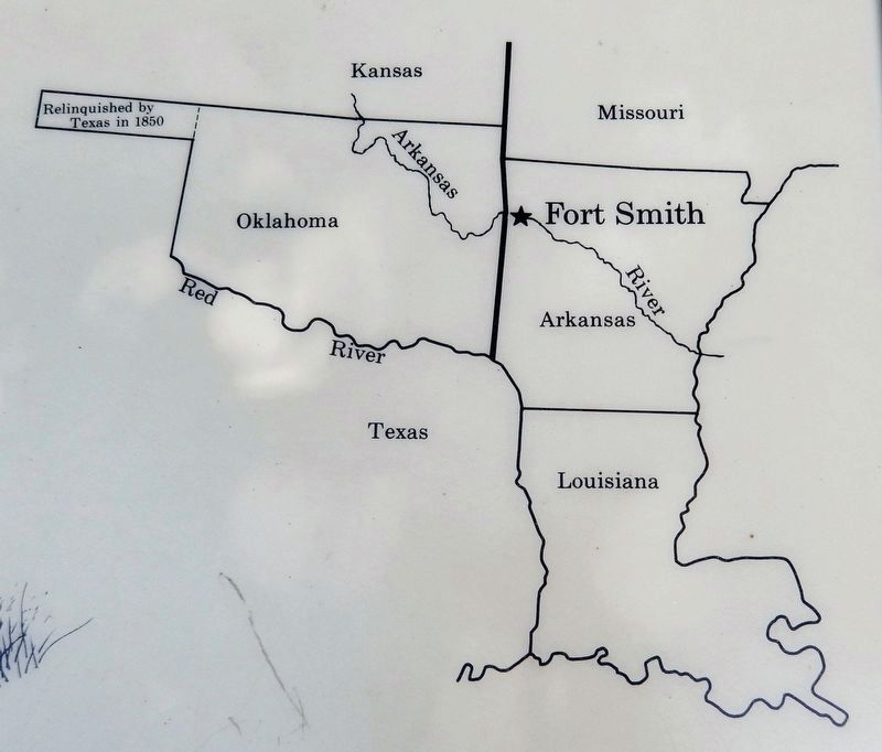
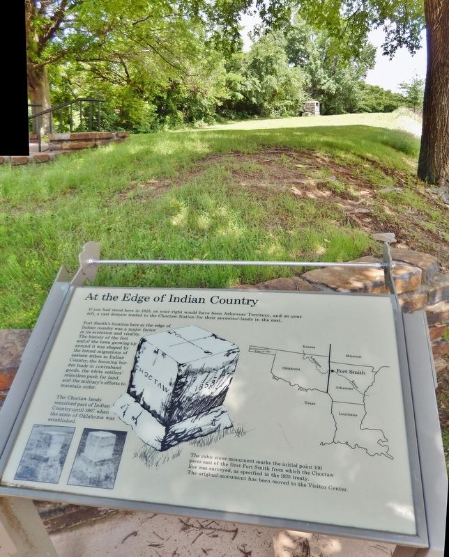
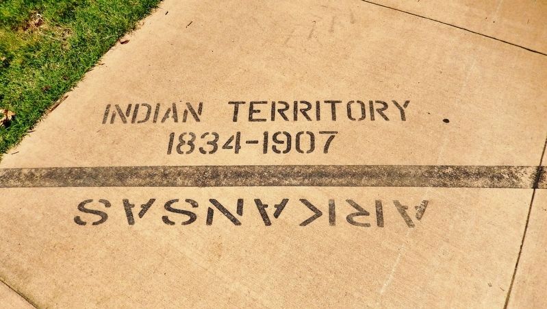
If you had stood here in 1825, on your right would have been Arkansas Territory, and on your left, a vast domain traded to the Choctaw Nation for their ancestral lands in the east.
Fort Smith’s location here at the edge of Indian country was a major factor in its evolution and vitality. The history of the fort and of the town growing up around it was shaped by the forced migrations of eastern tribes to Indian Country, the booming border trade in contraband goods, the white settlers’ relentless push for land, and the military’s efforts to maintain order.
The Choctaw lands remained part of Indian Country until 1907 when the state of Oklahoma was established.
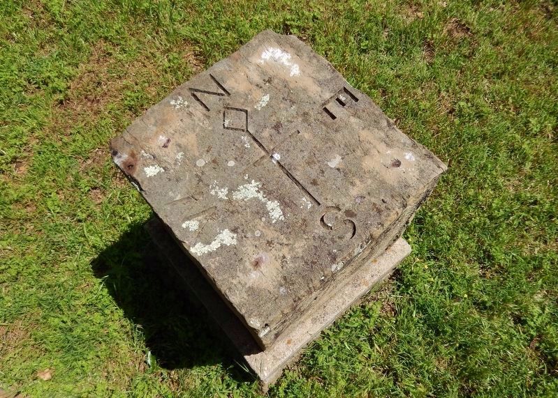
The cubic stone monument marks the initial point 100 paces east of the first Fort Smith from which the Choctaw line was surveyed, as specified in the 1825 treaty. The original monument has been moved to the Visitor Center.
Topics. This historical marker is listed in these topic lists: Forts and Castles • Native Americans • Settlements & Settlers. A significant historical year for this entry is 1825.
Location. 35° 23.272′ N, 94° 25.874′ W. Marker is in Fort Smith, Arkansas, in Sebastian County. Marker can be reached from the intersection of Parker Avenue and South 3rd Street. Marker is located on the Fort Smith National Historic Site grounds, adjacent to the railroad tracks. Touch for map. Marker is at or near this postal address: 301 Parker Avenue, Fort Smith AR 72901, United States of America. Touch for directions.
Other nearby markers. At least 8 other markers are within walking distance of this marker. Belle Point (within shouting distance of this marker); Fort Wall (within shouting distance of this marker); Whiskey War (within shouting distance of this marker); Defending Freedom (within shouting distance of this marker); The Officer’s Quarters (within shouting distance of this marker); Executions at Fort Smith (about 300 feet away, measured in a direct line); The Gallows (about 300 feet away); Abandoned and Forgotten (about 400 feet away). Touch for a list and map of all markers in Fort Smith.
Regarding At the Edge of Indian Country. The Choctaw Nation ceded about 2 million acres to the United States; this was the land lying east of a line beginning on the Arkansas River, one hundred paces east of Fort Smith, and running due south to the Red River. The United States agreed to move to the east side of the boundary line and to prevent future settlements on the west by white people.
Also see . . .
1. Treaty of Washington City. Wikipedia entry:
Apuckshunubbee, Pushmataha, and Mosholatubbee, the principal leaders of the Choctaws, went to Washington City (the 19th century name for Washington, D.C.) to discuss encroaching settlement and to seek the expulsion of settlers or financial compensation. (Submitted on September 29, 2020, by Cosmos Mariner of Cape Canaveral, Florida.)
2. Treaty with The Chocktaw; January 20, 1825. First People Website entry:
Treaty text (Submitted on March 17, 2021, by Larry Gertner of New York, New York.)
Credits. This page was last revised on March 17, 2021. It was originally submitted on September 28, 2020, by Cosmos Mariner of Cape Canaveral, Florida. This page has been viewed 261 times since then and 33 times this year. Photos: 1, 2, 3, 4, 5, 6. submitted on September 29, 2020, by Cosmos Mariner of Cape Canaveral, Florida.
