Chillicothe in Livingston County, Missouri — The American Midwest (Upper Plains)
Graham's Mill & Bridge
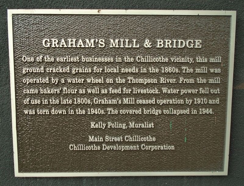
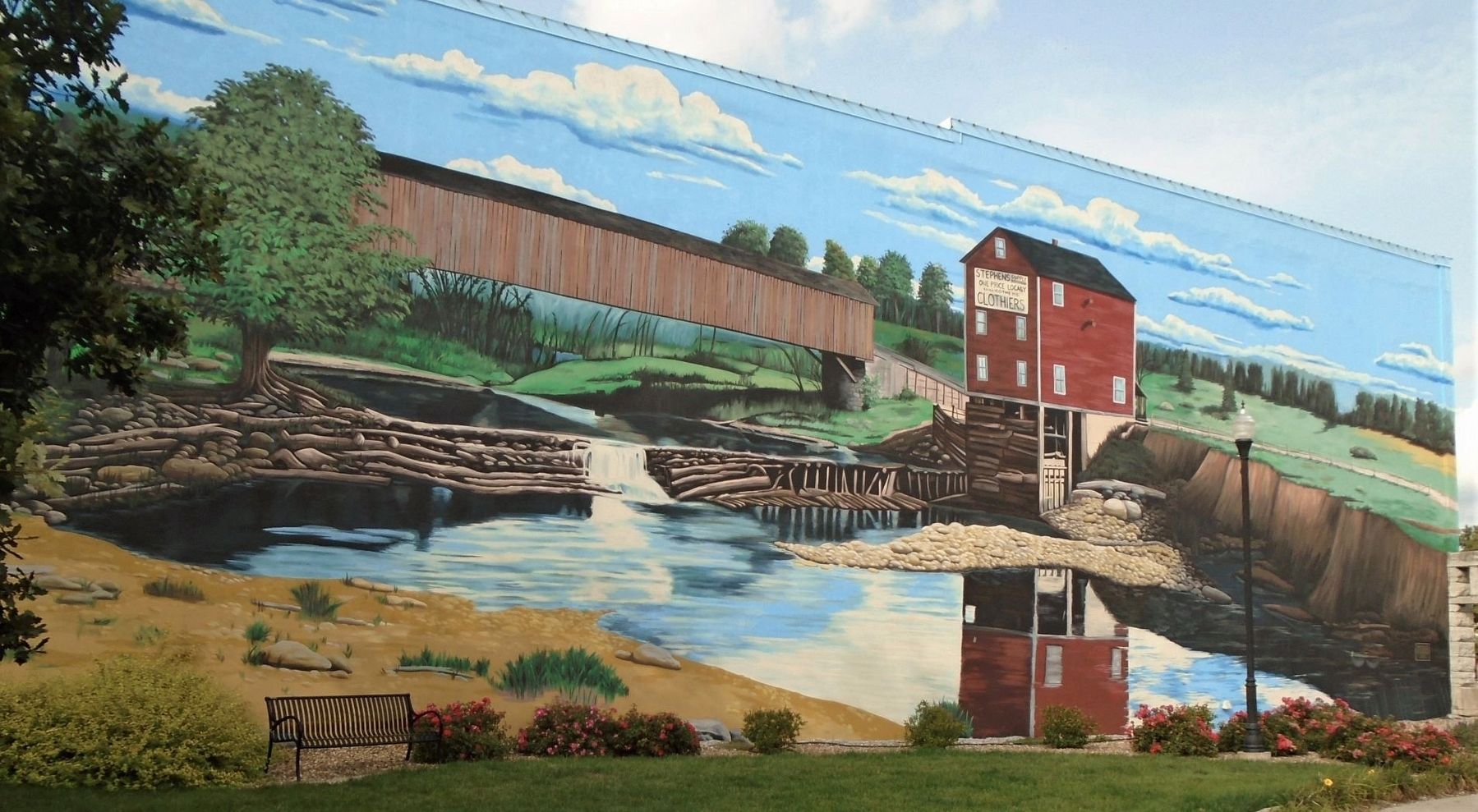
One of the earliest businesses in Chillicothe vicinity, this mill ground cracked grains for local needs in the 1860s. The mill was operated by a water wheel on the Thompson River. From the mill came bakers' flour as well as feed for livestock. Water power fell out of use in the late 1800s, Graham's Mill ceased operation by 1910 and was torn down in the 1940s. The covered bridge collapsed in 1944.
Kelly Poling, Muralist
Erected 2017 by Main Street Chillicothe and Chillicothe Development Corporation.
Topics and series. This historical marker is listed in these topic lists: Bridges & Viaducts • Industry & Commerce • Settlements & Settlers • Waterways & Vessels. In addition, it is included in the Missouri, Chillicothe Downtown Mural Walking Tour series list. A significant historical year for this entry is 1910.
Location. 39° 47.563′ N, 93° 33.232′ W. Marker is in Chillicothe, Missouri, in Livingston County. Marker is at the intersection of Washington Street (U.S. 65) and Clay Street, on the left when traveling north on Washington Street. Touch for map. Marker is at or near this postal address: 504 Washington Street, Chillicothe MO 64601, United States of America. Touch for directions.
Other nearby markers. At least 8 other markers are within walking distance of this marker. History of the NW Corner of Washington and Clay Streets (a few steps from this marker); Loomis Building (within shouting distance of this marker); Veterans Memorial (about 400 feet away, measured in a direct line); a different marker also named Veterans Memorial (about 400 feet away); 608-612 Washington Street (about 400 feet away); Livingston County Courthouse Historic Districts (about 400 feet away); Citizens Bank & Trust (about 400 feet away); 601-605 Locust Street (about 500 feet away). Touch for a list and map of all markers in Chillicothe.
Also see . . . Main Street Chillicothe. City website entry (Submitted on December 26, 2023, by Larry Gertner of New York, New York.)
Credits. This page was last revised on December 26, 2023. It was originally submitted on September 28, 2020, by William Fischer, Jr. of Scranton, Pennsylvania. This page has been viewed 304 times since then and 51 times this year. Photos: 1, 2. submitted on September 28, 2020, by William Fischer, Jr. of Scranton, Pennsylvania.

