Fort Smith in Sebastian County, Arkansas — The American South (West South Central)
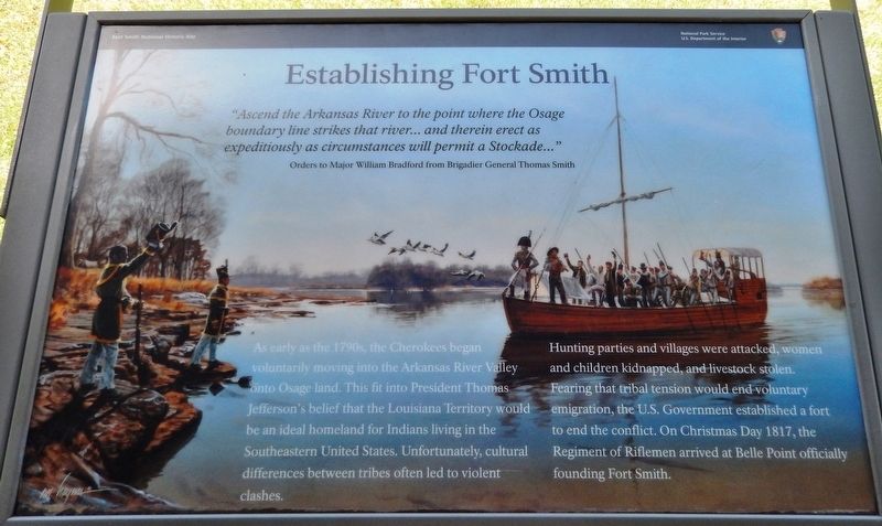
Establishing Fort Smith
Fort Smith National Historic Site
— National Park Service, U.S. Department of the Interior —
—Orders to Major William Bradford from Brigadier General Thomas Smith
As early as the 1790s, the Cherokees began voluntarily moving into the Arkansas River Valley onto Osage land. This fit into President Thomas Jefferson's belief that the Louisiana Territory would be an ideal homeland for Indians living in the Southeastern United States. Unfortunately, cultural differences between tribes often led to violent clashes.
Hunting parties and villages were attacked, women and children kidnapped, and livestock stolen. Fearing that tribal tension would end voluntary emigration, the U.S. Government established a fort to end the conflict. On Christmas Day 1817, the Regiment of Riflemen arrived at Belle Point officially founding Fort Smith.
Erected by National Park Service, U.S. Department of the Interior.
Topics. This historical marker is listed in these topic lists: Forts and Castles • Native Americans • Settlements & Settlers. A significant historical date for this entry is December 25, 1817.
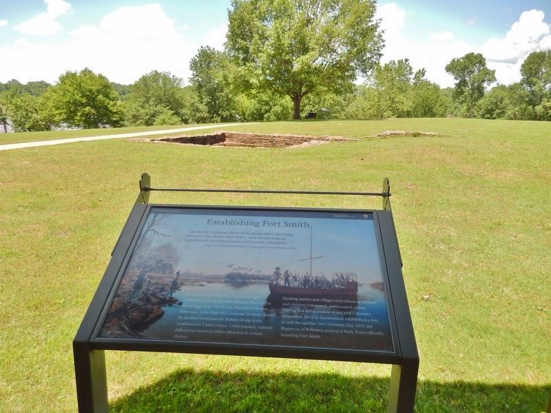
Location. 35° 23.246′ N, 94° 25.941′ W. Marker is in Fort Smith, Arkansas , in Sebastian County. Marker can be reached from the intersection of Parker Avenue and South 3rd Street. Marker is located on the Fort Smith National Historic Site grounds, beside an interpretive kiosk overlooking Belle Point on the west side of the fort. Touch for map. Marker is at or near this postal address: 301 Parker Avenue, Fort Smith AR 72901, United States of America. Touch for directions.
Other nearby markers. At least 8 other markers are within walking distance of this marker. Who Served Here? (here, next to this marker); Major Long Surveys the Western Frontier (here, next to this marker); Abandoned and Forgotten (a few steps from this marker); Request Denied (within shouting distance of this marker); Osage Nation (within shouting distance of this marker); Cherokee Nation (about 300 feet away, measured in a direct line); Whiskey War (about 300 feet away); Chickasaw Nation (about 300 feet away). Touch for a list and map of all markers in Fort Smith.
Also see . . .
1. Fort Smith National Historic Site. Sixty-four riflemen were sent to Belle Point in 1817 to keep the peace between the Osage and Cherokee. Miraculously, the soldiers managed to do so without resorting to violence while making roads, planting a garden, building Fort Smith, and dealing with white settlers. By 1822, the Osage and Cherokee made peace, and in 1824, the post was abandoned in favor of a more strategic location up river. (Submitted on September 30, 2020, by Cosmos Mariner of Cape Canaveral, Florida.)
2. Fort Smith, Arkansas History (Wikipedia). A stockade was built and occupied from 1817 until 1822 by a small troop of regulars commanded by Major William Bradford. A small settlement began forming around the fort, but the Army abandoned the first Fort Smith in 1824 and moved 80 miles further west to Fort Gibson. (Submitted on September 30, 2020, by Cosmos Mariner of Cape Canaveral, Florida.)
Credits. This page was last revised on October 1, 2020. It was originally submitted on September 29, 2020, by Cosmos Mariner of Cape Canaveral, Florida. This page has been viewed 165 times since then and 22 times this year. Photos: 1, 2. submitted on September 30, 2020, by Cosmos Mariner of Cape Canaveral, Florida.

