Richmond in Ray County, Missouri — The American Midwest (Upper Plains)
1856 Courthouse Cornice Planter
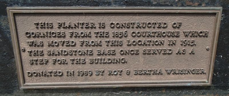
Photographed by William Fischer, Jr., September 17, 2020
1. 1856 Courthouse Cornice Planter Marker
Erected 1989 by Roy & Bertha Wrisinger.
Topics. This historical marker is listed in these topic lists: Architecture • Government & Politics. A significant historical year for this entry is 1856.
Location. 39° 16.715′ N, 93° 58.66′ W. Marker is in Richmond, Missouri, in Ray County. It is at the intersection of Main Street (State Highway 10) and College Street, on the right when traveling west on Main Street. Touch for map. Marker is at or near this postal address: 100 West Main Street, Richmond MO 64085, United States of America. Touch for directions.

Regionally, this marker is in the Missouri River Corridor and in Greater Kansas City. It is also in the American Midwest, in the Lewis & Clark Corridor, and in the Corn Belt. Globally, it is in North America, the Western Hemisphere, the Western World, and the Anglosphere. Historically, it finds itself in what was once the territory of the Mississippian Culture, the Louisiana Purchase,
this page online
Other nearby markers. At least 8 other markers are within walking distance of this marker: Ray County Bicentennial Memorial (here, next to this marker); Pvt. John Wallace (a few steps from this marker); Colonel Alexander W. Doniphan (a few steps from this marker); Richmond (a few steps from this marker); Vietnam War Memorial (within shouting distance of this marker); World War II and Korean War Memorial (within shouting distance of this marker); World War Memorial (within shouting distance of this marker); The Bushwhacker in Missouri (about 300 feet away, measured in a direct line). Touch for a list and map of all markers in Richmond.
Also see . . . 1856 Ray County Courthouse Images. (Submitted on September 29, 2020, by William Fischer, Jr. of Reynoldsburg, Ohio.)
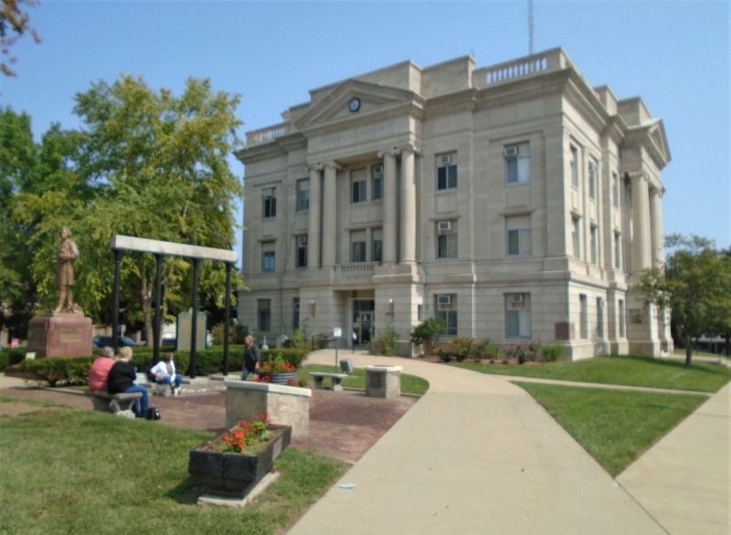
Photographed by William Fischer, Jr., September 17, 2020
2. 1856 Courthouse Cornice Planter, Marker, and Current Courthouse
Credits. This page was last revised on December 19, 2020. It was originally submitted on September 29, 2020, by William Fischer, Jr. of Reynoldsburg, Ohio. This page has been viewed 223 times since then and 20 times this year. Photos: 1, 2. submitted on September 29, 2020, by William Fischer, Jr. of Reynoldsburg, Ohio.
