Lexington in McLean County, Illinois — The American Midwest (Great Lakes)
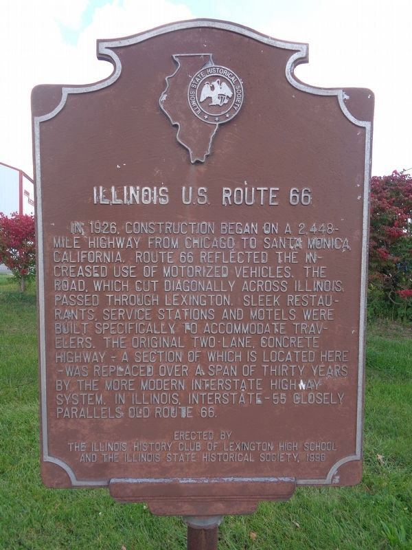
Illinois U.S. Route 66
Erected 1996 by The Illinois History Club of Lexington High School & the Illinois State Historical Society.
Topics and series. This historical marker is listed in these topic lists: Industry & Commerce • Roads & Vehicles. In addition, it is included in the Illinois State Historical Society, and the U.S. Route 66 series lists. A significant historical year for this entry is 1926.
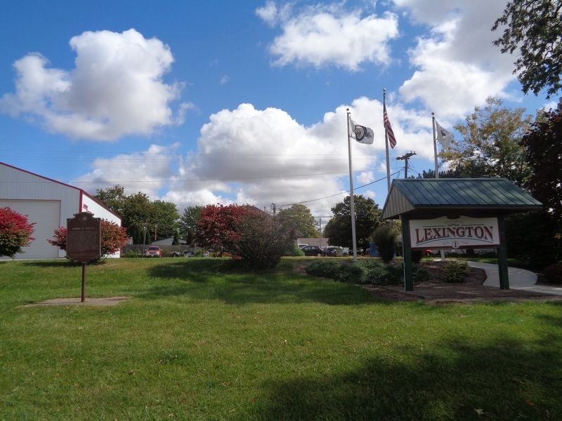
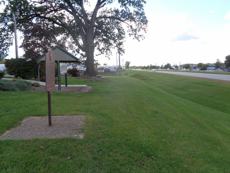
Location. 40° 38.465′ N, 88° 47.51′ W. Marker is in Lexington, Illinois, in McLean County. Marker is on Old U.S. 66 south of West Main Street, on the right when traveling north. Touch for map. Marker is at or near this postal address: 1000 W Main St, Lexington IL 61753, United States of America. Touch for directions.
Other nearby markers. At least 8 other markers are within 8 miles of this marker, measured as the crow flies. The John Patton Cabin (approx. 0.8 miles away); "Memory Lane" (approx. 0.9 miles away); 1926 Route 66 Alignment (approx. 7.6 miles away); Pure Oil Truck Stop (approx. 7.7 miles away); 1954 Route 66 Alignment (approx. 7.7 miles away); Dead Man's Curve (approx. 7.7 miles away); Henderson's Standard (approx. 7.9 miles away); In Memory of Maude Henline (approx. 8 miles away). Touch for a list and map of all markers in Lexington.
Also see . . .
1. U.S. Route 66 in Illinois on Wikipedia. To date, this is the only Route 66-related marker erected by the Illinois State Historical Society, as Lexington is a central location in the state. This Wiki page talks about all of the Route 66 towns in Illinois, as well as different alignments/sections of the road and historical places along the former route. (Submitted on September 30, 2020, by Jason Voigt of Glen Carbon, Illinois.)
2. Illinois Route 66 Scenic Byways. This is an independent group (though partnered with the Illinois Route 66 Association) that has placed several historical markers throughout Illinois Route 66 towns/cities - including the Wayside Exhibits and Experience Hubs. On the website
you can read about the history of Route 66, view old maps, and see tourist recommendations in each town. (Submitted on September 30, 2020, by Jason Voigt of Glen Carbon, Illinois.)
3. Illinois Route 66 Association. Similar to Illinois Route 66 Scenic Byways, this non-profit group heads the Illinois Route 66 Museum in Pontiac, Illinois, as well as preserving history and keeping it alive on Route 66. Features a list of all of the Illinois Route 66 Hall of Fame inductees. (Submitted on September 30, 2020, by Jason Voigt of Glen Carbon, Illinois.)
Credits. This page was last revised on October 28, 2020. It was originally submitted on September 30, 2020, by Jason Voigt of Glen Carbon, Illinois. This page has been viewed 222 times since then and 17 times this year. Photos: 1, 2, 3. submitted on September 30, 2020, by Jason Voigt of Glen Carbon, Illinois.


