Near Tallahassee in Leon County, Florida — The American South (South Atlantic)
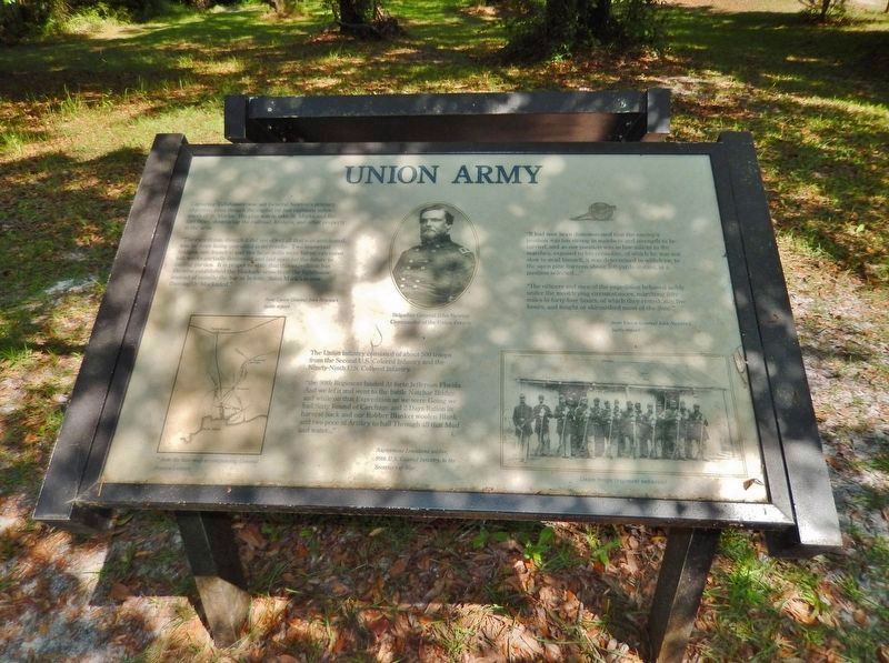
Union Army
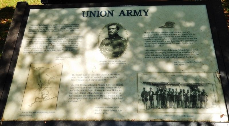
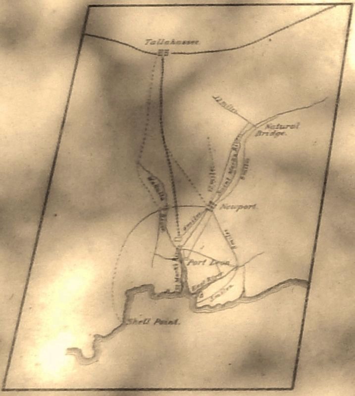
”The expedition, though it did not effect all that was anticipated, was far from being unfruitful in its results. Two important bridges, one foundry, and two large mills were burnt; extensive salt works partially destroyed and laid open for the future to raiding parties. It is proper to state that this expedition has likewise established the blockade vessels off the lighthouse instead of outside the bar as before. Saint Mark’s is now thoroughly blockaded.”
—from Union General John Newton’s battle report
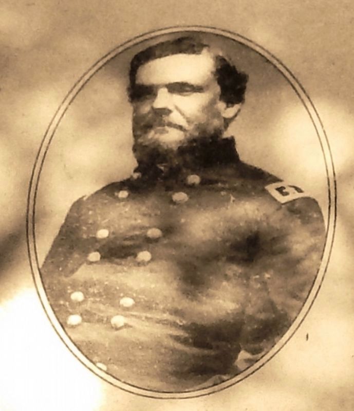
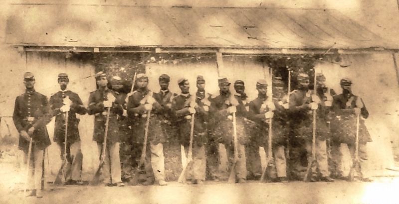
The Union infantry consisted of about 500 troops from the Second U.S. Colored Infantry and the Ninety-Ninth U.S. Colored Infantry.
”the 99th Regiment landed At forte Jefferson Florida and we lef it and went to the battle Natchar Bridge and while on that Experdition as we were Going we had Sixty Round of Carchage and 2 Days Ration in harvest Sack and our Robber Blanket woolen Blank and two pece of Artiliry to hall Through all that Mud and water…”
—anonymous Louisiana soldier,
99th U.S. Colored Infantry,
to the Secretary of War
”It had now been demonstrated that the enemy’s position was too strong in numbers and strength to be carried, and as our position was in low salient in the marshes, exposed to his cross-fire, of which he was not slow to avail himself, it was determined to withdraw, to the open pine barrens about 300 yards distant, in a position selected…”
”The officers and men of the expedition behaved nobly under the most trying circumstances, marching fifty miles in forty-four hours, of which they rested only five hours, and fought or skirmished most of the time.”
—from Union General John Newton’s battle report
Topics. This historical marker is listed in this topic list: War, US Civil. A significant historical date for this entry is March 6, 1865.
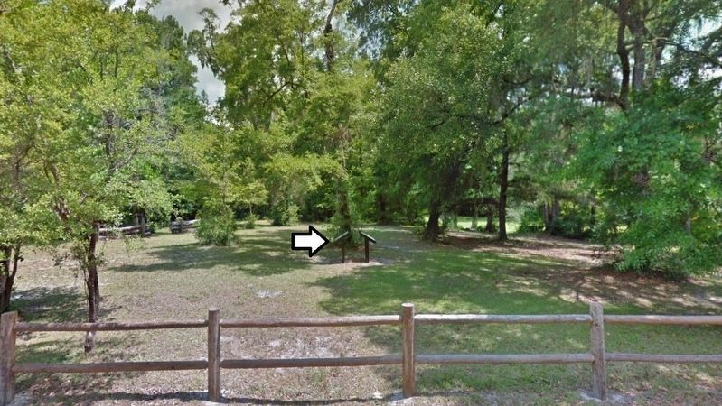
Location. 30° 17.075′ N, 84° 9.097′ W. Marker is near Tallahassee, Florida, in Leon County. Marker can be reached from Natural Bridge Road, 6 miles east of Woodville Highway (State Highway 363), on the left when traveling east. Marker is located just north of Natural Bridge Road, in Natural Bridge Battlefield Historic State Park. Touch for map. Marker is at or near this postal address: 7502 Natural Bridge Road, Tallahassee FL 32305, United States of America. Touch for directions.
Other nearby markers. At least 8 other markers are within 10 miles of this marker, measured as the crow flies. Confederate Army (here, next to this marker); Nature's Bridge (within shouting distance of this marker); Battle of Natural Bridge (about 300 feet away, measured in a direct line); Confederate Monument (about 300 feet away); Honoring the Confederate and Union Soldiers (about 300 feet away); Supplies Are Low (approx. 5.7 miles away); Site of the Former Town of Magnolia (approx. 6.1 miles away); Tallahassee - St. Marks Railroad (approx. 9.2 miles away). Touch for a list and map of all markers in Tallahassee.
Related markers. Click here for a list of markers that are related to this marker. The Battle of Natural Bridge
Also see . . .
1. The Battle of Natural Bridge (Wikipedia). The Union's Brig. Gen. John Newton had undertaken a joint force expedition to engage and destroy Confederate troops that had attacked at Cedar Keys, Florida and Fort Myers and were allegedly encamped somewhere around St. Marks. The Union Navy had trouble getting its ships up the St. Marks River. The Union Army force, however, had advanced and, after finding one bridge destroyed, started before dawn on March 6 to attempt to cross the river at Natural Bridge. (Submitted on October 4, 2020, by Cosmos Mariner of Cape Canaveral, Florida.)
2. Natural Bridge. The action at Natural Bridge lasted most of the day, but, unable to take the bridge, the Union troops retreated to the protection of the fleet. The battle prevented the Union from capturing the Florida capital and made Tallahassee the only Confederate capital east of the Mississippi River not to be captured by Union forces during the war. (Submitted on October 4, 2020, by Cosmos Mariner of Cape Canaveral, Florida.)
3. Natural Bridge Battlefield Historic State Park. During the final weeks of the Civil War, a Union flotilla landed at Apalachee Bay. The federal plan was to capture Fort Ward, located at the confluence of the St. Mark and Wakulla Rivers, and march north to the state capital. On March 3, 1865, the large union ships ran aground at Port Leon and could not make it to the fort. About 900 Union troops, including the 2nd and 99th Regiments U.S. Colored Infantry, continued to advance on Tallahassee over land (Submitted on October 4, 2020, by Cosmos Mariner of Cape Canaveral, Florida.)
Credits. This page was last revised on October 5, 2020. It was originally submitted on October 4, 2020, by Cosmos Mariner of Cape Canaveral, Florida. This page has been viewed 159 times since then and 21 times this year. Photos: 1, 2, 3, 4, 5, 6. submitted on October 4, 2020, by Cosmos Mariner of Cape Canaveral, Florida.
