Near Tallahassee in Leon County, Florida — The American South (South Atlantic)
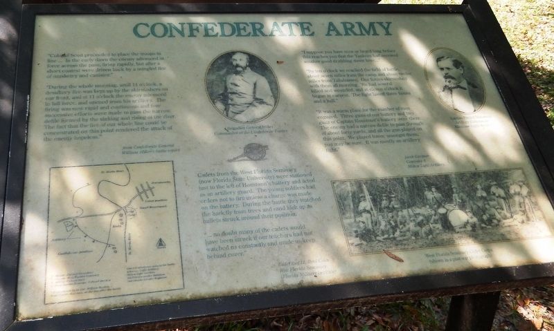
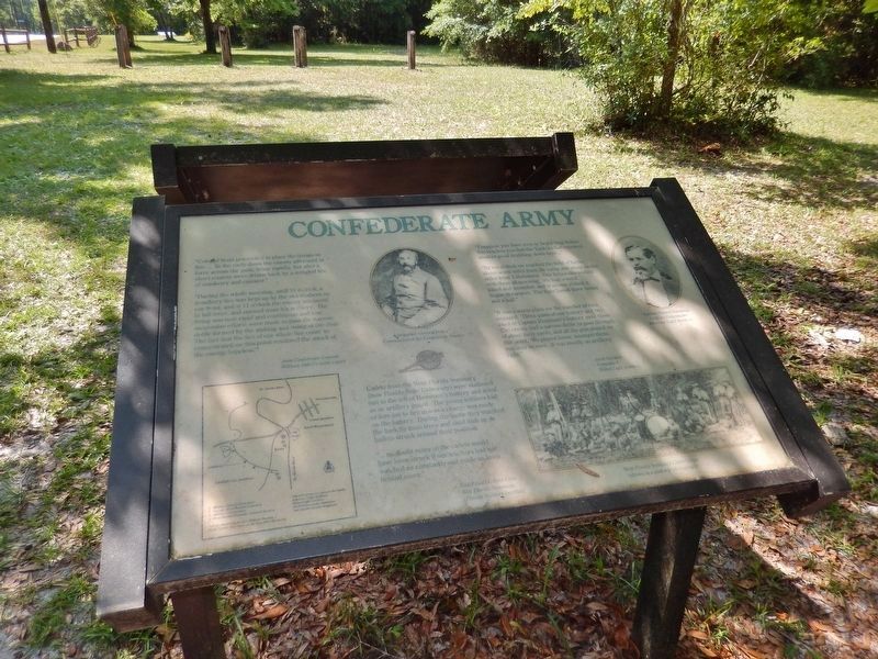
Confederate Army
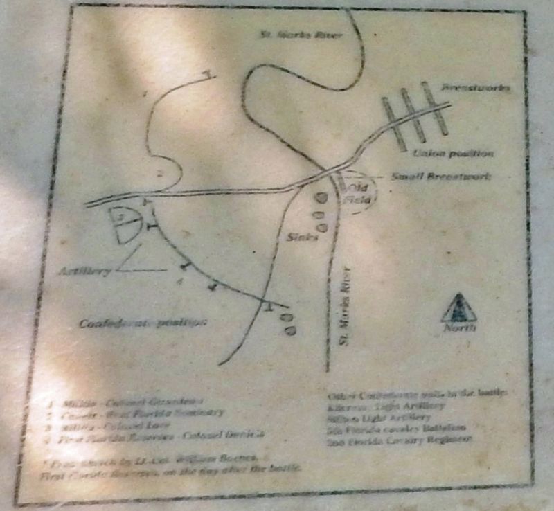
”During the whole morning, until 11 o’clock, a desultory fire was kept up by the skirmishers on our front, and at 11 o’clock the enemy advanced in full force, and opened from his artillery. The firing was now rapid and continuous and four successive efforts were made to pass the narrow defile formed by the sinking and rising of the river. The fact that the fire of our whole line could be concentrated on this point rendered the attack of the enemy hopeless.”
—from Confederate General William Miller’s battle report
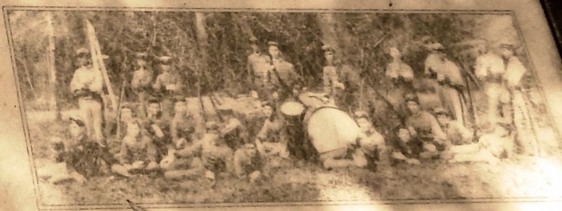
Cadets from the West Florida Seminary (now Florida State University) were stationed just to the left of Houstoun’s battery and acted as an artillery guard. The young soldiers had orders not to fire unless a charge was made on the battery. During the battle they watched the bark fly from trees and sand kick up as bullets struck around their position.
”…no doubt many of the cadets would have been struck if our teachers had not watched us constantly and made us keep behind cover.”
—Cadet 2nd Lt. Byrd Coles
West Florida Seminary
(Florida Military Institute)
”I suppose you have seen or heard long before this reaches you that the Yankees had received another good drubbing down here…”
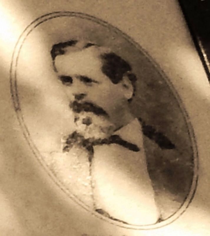
”By ten o’clock we reached the field of battle, about seven miles from the camp and about twelve miles from Tallahassee. Our forces skirmished with them all morning. We had several killed and wounded, and at eleven o’clock it began in earnest. The fight lasted three hours and a half.”
”It was a warm place for the number of men engaged. Three guns of our battery and two guns of Captain Houstoun’s battery were there. The enemy had a narrow defile to pass through of about forty yards, and all the gun played on this point. We played havoc amongst them, you may be sure. It was mostly an artillery fight.”
—Jacob Gardner
Company A
Milton Light Artillery
Topics. This historical marker is listed in this topic list: War, US Civil. A significant historical date for this entry is March 6, 1865.
Location. 30° 17.075′ N, 84° 9.096′ W. Marker is near Tallahassee, Florida, in Leon County. Marker can be reached from Natural Bridge Road, 6 miles east of Woodville Highway (State Highway 363), on the left when traveling east. Marker is located just north of Natural Bridge Road, in Natural Bridge Battlefield Historic State Park. Touch for map. Marker is at or near this postal address: 7502 Natural Bridge Road, Tallahassee FL 32305, United States of America. Touch for directions.
Other nearby markers. At least 8 other markers are within 10 miles of this marker, measured as the crow flies. Union Army (here, next to this marker); Nature's Bridge (within shouting distance of this marker); Battle of Natural Bridge (about 300 feet away, measured in a direct line); Confederate Monument (about 300 feet away); Honoring the Confederate and Union Soldiers (about 300 feet away); Supplies Are Low (approx. 5.7 miles away); Site of the Former Town of Magnolia (approx. 6.1 miles away); Tallahassee - St. Marks Railroad (approx. 9.2 miles away). Touch for a list and map of all markers in Tallahassee.
Related markers. Click here for a list of markers that are related to this marker. The Battle of Natural Bridge
Also see . . .
1. Battle of Natural Bridge Map. Confederate forces, protected by breastworks, guarded all of the approaches and the bridge itself. The action at Natural Bridge lasted most of the day, but, unable to take the bridge, the Union troops retreated to the protection of the fleet. (Submitted on October 5, 2020, by Cosmos Mariner of Cape Canaveral, Florida.)
2. Natural Bridge. The battle prevented the Union from capturing the Florida capital and made Tallahassee the only Confederate capital east of the Mississippi River not to be captured by Union forces during the war. The battle has been described as the last Confederate victory in the Civil War, and it was the second largest battle fought in Florida. (Submitted on October 5, 2020, by Cosmos Mariner of Cape Canaveral, Florida.)
3. Natural Bridge Battlefield Historic State Park. The smaller Confederate troop was composed of about 600 soldiers, including old men and cadets as young as 14 from the West Florida Seminary, now known as Florida State University. With a timely warning, these volunteer soldiers met the Union forces at Natural Bridge and, after 10 hours, successfully repelled three major attacks. The battle ended on March 6, 1865, with the retreat of the Union troops. (Submitted on October 5, 2020, by Cosmos Mariner of Cape Canaveral, Florida.)
Credits. This page was last revised on October 5, 2020. It was originally submitted on October 4, 2020, by Cosmos Mariner of Cape Canaveral, Florida. This page has been viewed 210 times since then and 22 times this year. Photos: 1, 2. submitted on October 4, 2020, by Cosmos Mariner of Cape Canaveral, Florida. 3, 4, 5. submitted on October 5, 2020, by Cosmos Mariner of Cape Canaveral, Florida. 6. submitted on October 4, 2020, by Cosmos Mariner of Cape Canaveral, Florida. 7. submitted on October 5, 2020, by Cosmos Mariner of Cape Canaveral, Florida.
