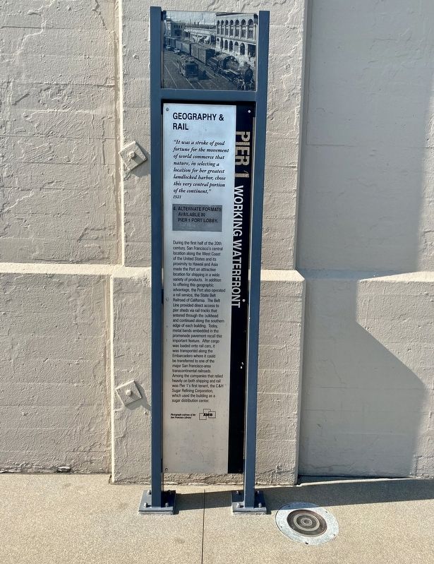
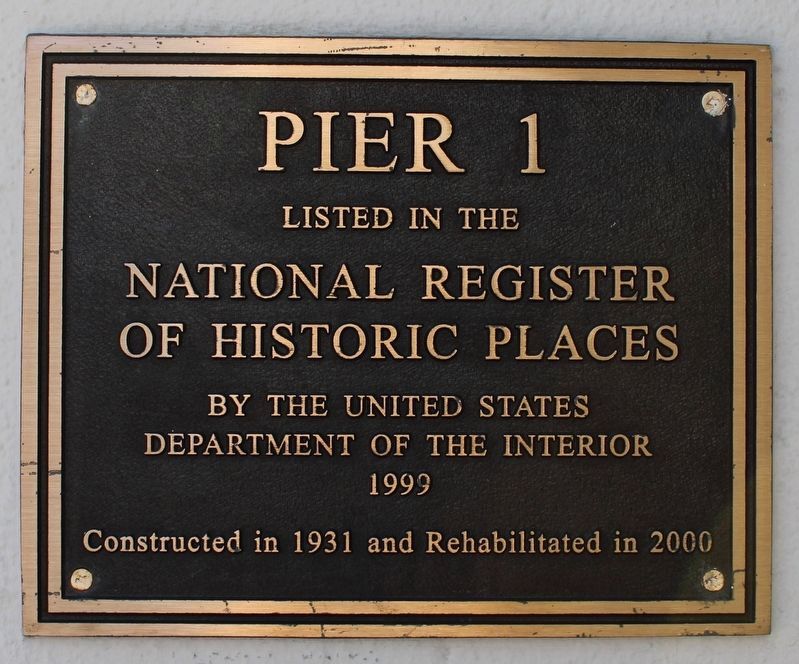
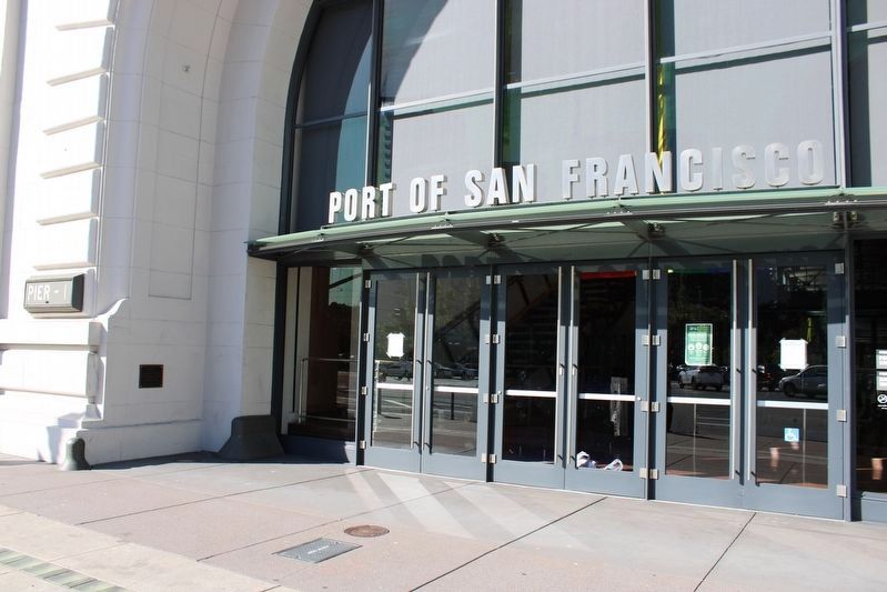
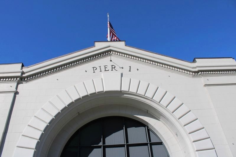
Pier 1, Working Waterfront: Geography & Rail
1921
During the first half of the 20th
century, San Francisco's central
location along the West Coast
of the United States and its
proximity to Hawaii and Asia
made the Port an attractive
location for shipping in a wide
variety of products. In addition
to offering this geographic
advantage, the Port also operated
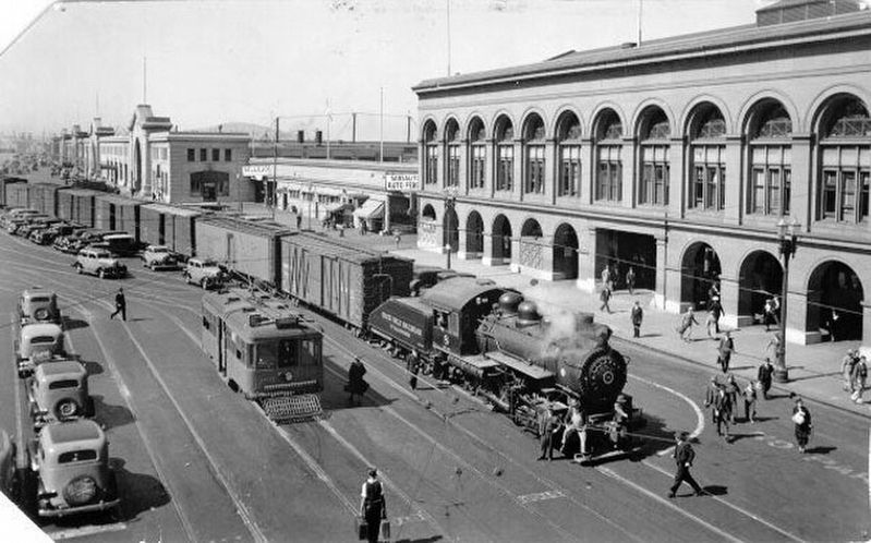
a rail service, the State Belt
Railroad of California. The Belt
Line provided direct access to
pier sheds via rail tracks that
entered through the bulkhead
and continued along the southern
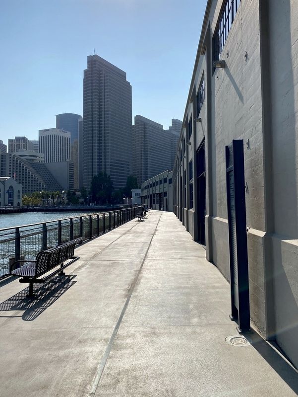
edge of each building. Today,
metal bands embedded in the
promenade pavement recall this
important feature. After cargo
was loaded onto rail cars, it
was transported along the
Embarcadero where it could
be transferred to one of the
major San Francisco-area
transcontinental railroads.
Among the companies that relied
heavily on both shipping and rail
was Pier 1's first tenant, the C&H
Sugar Refining Corporation,
which used the building as a
sugar distribution center.
Erected by The AWB.
Topics. This historical marker is listed in these topic lists: Industry & Commerce
Location. 37° 47.878′ N, 122° 23.582′ W. Marker is in San Francisco, California, in San Francisco City and County. It is in Embarcadero. Marker can be reached from The Embarcadero. Touch for map. Marker is in this post office area: San Francisco CA 94105, United States of America. Touch for directions.
Other nearby markers. At least 8 other markers are within walking distance of this marker. Pier 1, Working Waterfront: The 1934 Strike (within shouting distance of this marker); Pier 1, Working Waterfront: Ferry Service (about 400 feet away, measured in a direct line); Pier 1, Working Waterfront: Design and Construction (about 500 feet away); Herb Caen Way (about 700 feet away); Piers 1˝, 3 & 5 (about 800 feet away); The River Lines (about 800 feet away); Stephan C. Leonoudakis (approx. 0.2 miles away); The Embarcadero Freeway (approx. 0.2 miles away). Touch for a list and map of all markers in San Francisco.
More about this marker. The marker is located on the south side of Pier 1, near the end of the pier.
Also see . . . The State Belt Railroad (1890-1993) (National Park Service). (Submitted on October 5, 2020.)
Credits. This page was last revised on February 7, 2023. It was originally submitted on October 5, 2020, by Andrew Ruppenstein of Lamorinda, California. This page has been viewed 120 times since then and 18 times this year. Photos: 1. submitted on October 5, 2020, by Andrew Ruppenstein of Lamorinda, California. 2. submitted on July 26, 2022, by Joseph Alvarado of Livermore, California. 3. submitted on October 5, 2020, by Andrew Ruppenstein of Lamorinda, California. 4, 5. submitted on July 26, 2022, by Joseph Alvarado of Livermore, California. 6. submitted on October 5, 2020, by Andrew Ruppenstein of Lamorinda, California.
