Alpine in Overton County, Tennessee — The American South (East South Central)
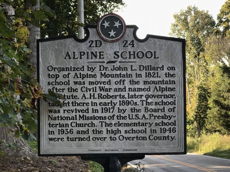
Alpine School
Photographed by Duane and Tracy Marsteller, October 4, 2020
1. Alpine School Marker
Erected by Tennessee Historical Commission. (Marker Number 2D 24.)
Topics and series. This historical marker is listed in this topic list: Religion & Religious Structures. In addition, it is included in the Tennessee Historical Commission series list. A significant historical year for this entry is 1821.
Location. 36° 23.652′ N, 85° 13.117′ W. Marker is in Alpine, Tennessee, in Overton County. It is at the intersection of Jamestown Highway (State Highway 85) and Campus Circle, on the right when traveling east on Jamestown Highway. Touch for map. Marker is at or near this postal address: 135 Campus Cir, Alpine TN 38543, United States of America. Touch for directions.

Regionally, this marker is in the Cumberland Plateau
this page online
Other nearby markers. At least 8 other markers are within 6 miles of this marker, measured as the crow flies: Albert Houston Roberts (approx. 0.2 miles away); Camp Myers (approx. 3.8 miles away); a different marker also named Albert Houston Roberts (approx. 5.6 miles away); Specialist 4 James T. Davis (approx. 5.8 miles away); Overton County Veterans Memorial (approx. 5.9 miles away); Overton County Courthouse (approx. 5.9 miles away); a different marker also named Overton County Courthouse (approx. 5.9 miles away); Staff Sergeant Loval E. Ayers (approx. 5.9 miles away).
Also see . . . Alpine Institute (Wikipedia). (Submitted on October 6, 2020, by Duane and Tracy Marsteller of Murfreesboro, Tennessee.)
Photographed by Duane and Tracy Marsteller, October 4, 2020
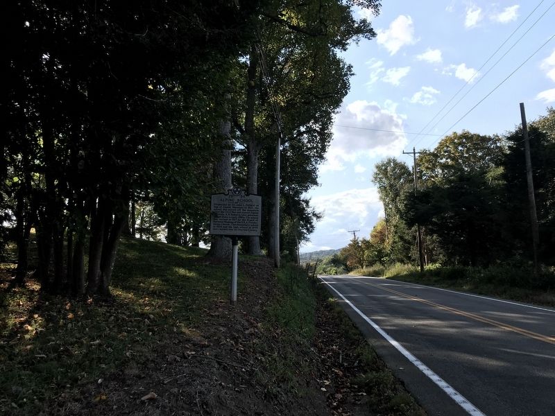
2. Alpine School Marker
Photographed by Duane and Tracy Marsteller, October 4, 2020
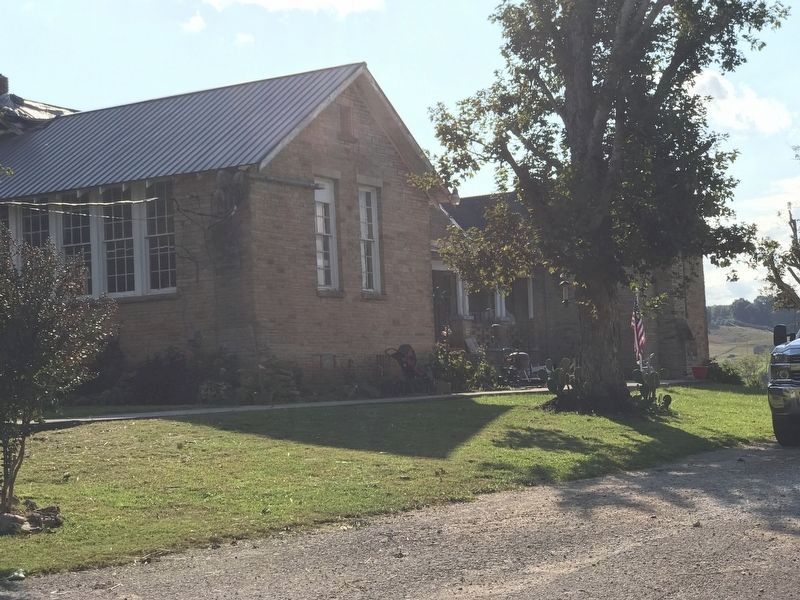
3. Former Alpine School shop building
Now a private residence.
Photographed by Duane and Tracy Marsteller, October 4, 2020
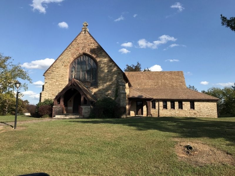
4. Christ Church Presbyterian
The church, built in 1934, is on the former campus.
Credits. This page was last revised on October 6, 2020. It was originally submitted on October 6, 2020, by Duane and Tracy Marsteller of Murfreesboro, Tennessee. This page has been viewed 895 times since then and 84 times this year. Photos: 1, 2, 3, 4. submitted on October 6, 2020, by Duane and Tracy Marsteller of Murfreesboro, Tennessee. • Devry Becker Jones was the editor who published this page.
