Easton in Northampton County, Pennsylvania — The American Northeast (Mid-Atlantic)
Lehigh Valley Railroads
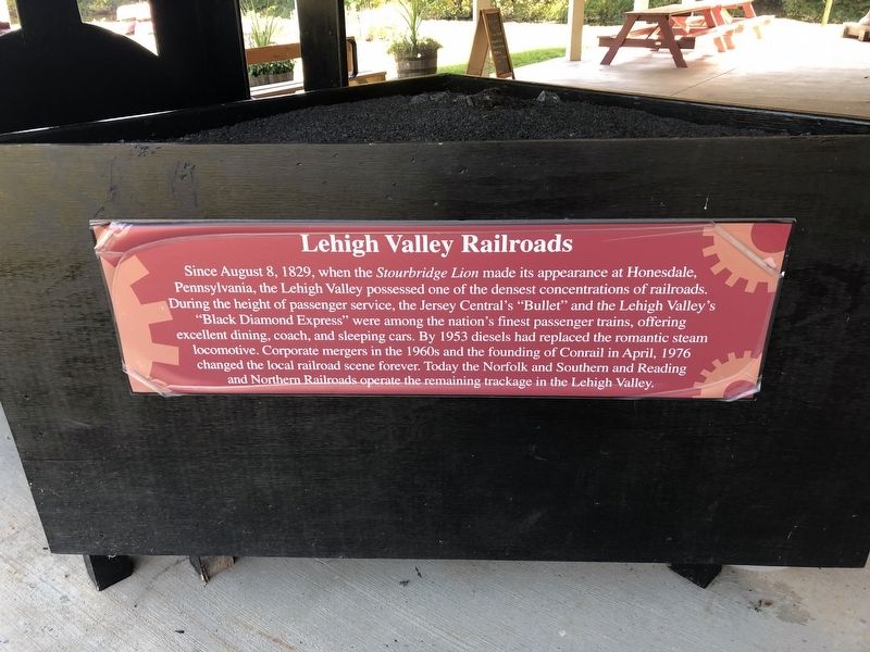
Topics. This historical marker is listed in this topic list: Railroads & Streetcars. A significant historical month for this entry is April 1976.
Location. 40° 39.731′ N, 75° 14.354′ W. Marker is in Easton, Pennsylvania, in Northampton County. It can be reached from Hugh Moore Park Road 0.4 miles south of Hill Road, on the right when traveling east. Touch for map. Marker is at or near this postal address: 2750 Hugh Moore Park Rd, Easton PA 18042, United
this page online

Regionally, this marker is in Southeast Pennsylvania and in Lehigh Valley. It is also in the American Northeast and in the Mid-Atlantic. Globally, it is in North America, the Western Hemisphere, the Western World, and the Anglosphere. Historically, it finds itself in what was once the Haudenosaunee (Iroquois) Confederacy and also one of the original Thirteen Colonies.
Other nearby markers. At least 8 other markers are within walking distance of this marker: Date Plate (a few steps from this marker); Veterans Memorial (a few steps from this marker); Liberty Trust Company Bell (a few steps from this marker); Easton & Nearby Heritage Attractions (within shouting distance of this marker); Making Tracks (within shouting distance of this marker); Anthracite Tidewater Canals (within shouting distance of this marker); From Waterways to Highways (within shouting distance of this marker); Exploring The Corridor (within shouting distance of this marker). Touch for a list and map of all markers in Easton.
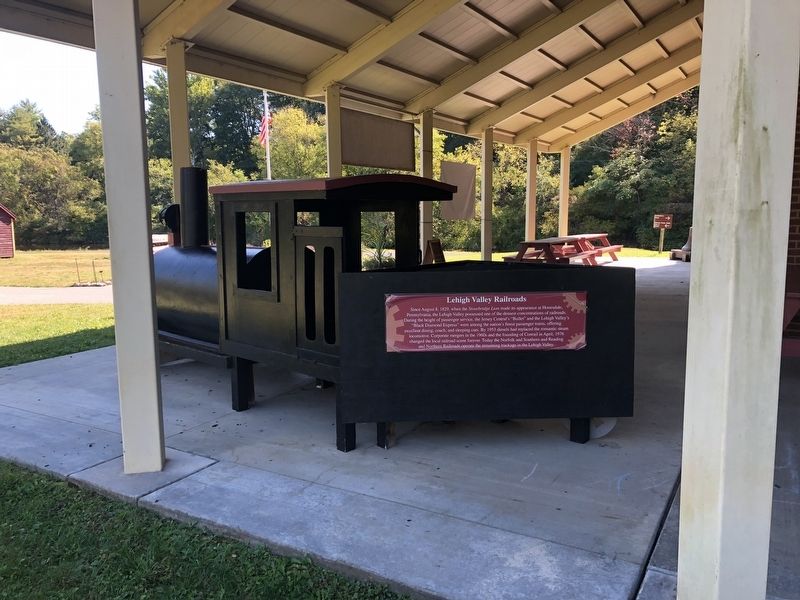
Credits. This page was last revised on October 6, 2020. It was originally submitted on October 6, 2020, by Devry Becker Jones of Washington, District of Columbia. This page has been viewed 235 times since then and 24 times this year. Photos: 1, 2. submitted on October 6, 2020, by Devry Becker Jones of Washington, District of Columbia.
