Joliet in Will County, Illinois — The American Midwest (Great Lakes)
A Corridor in Time: The Illinois and Michigan Canal
Inscription.
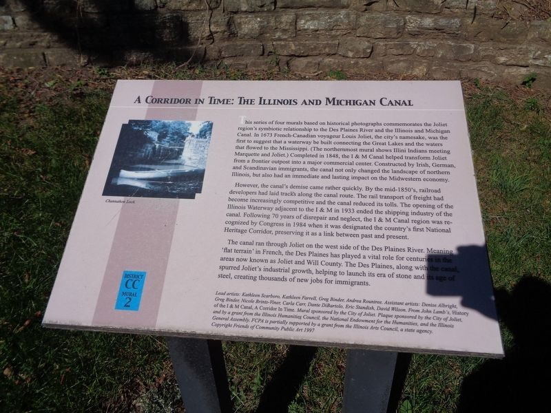
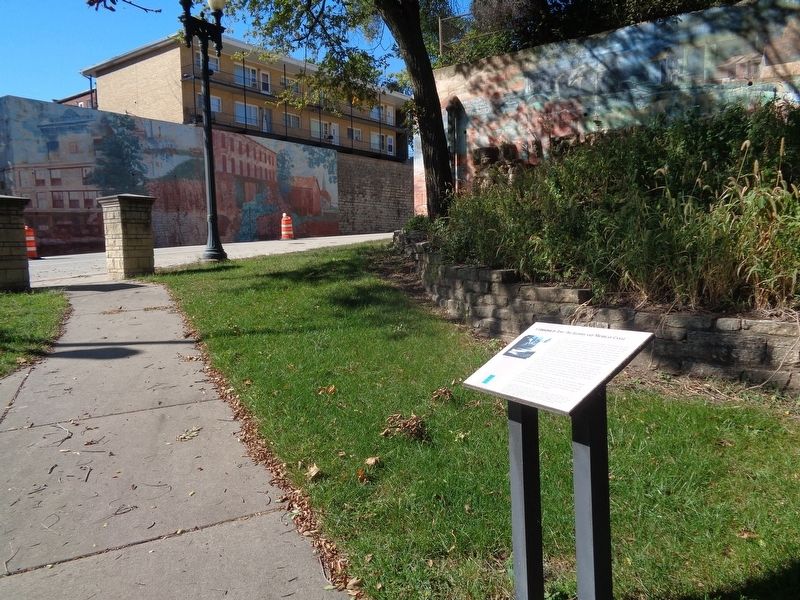
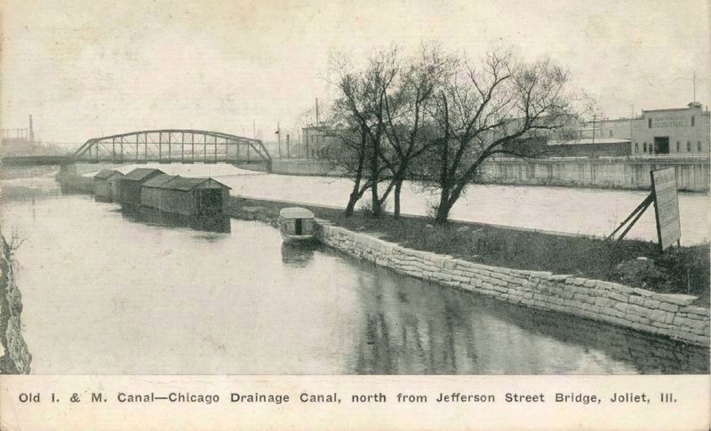
This series of four murals based on historical photographs commemorates the Joliet region's symbiotic relationship to the Des Plaines River and the Illinois and Michigan Canal. In 1673 French-Canadian voyageur Louis Joliet, the city's namesake, was the first to suggest that a waterway be built connecting the Great Lakes and the waters that flowed to the Mississippi. (The northernmost mural shows Illini Indians meeting Marquette and Joliet.) Completed in 1848, the I & M Canal helped transform Joliet from a frontier outpost into a major commercial center. Constructed by Irish, German and Scandinavian immigrants, the canal not only changed the landscape of northern Illinois, but also had an immediate and lasting impact on the Midwestern economy.
However, the canal's demise came rather quickly. By the mid-1850's, railroad developers had laid tracks along the canal route. The rail transport of freight had become increasingly competitive and the canal reduced its tolls. The opening of the Illinois Waterway adjacent to the I & M in 1933 ended the shipping industry of the canal. Following 70 years of disrepair and neglect, the I & M Canal region was recognized by Congress in 1984 when it was designated the country's first National Heritage Corridor, preserving it as a link between past and present.
The canal ran through Joliet on the west side of the Des Plaines River. Meaning 'flat terrain' in French, the Des Plaines has played a vital role for centuries in the areas now known as Joliet and Will County. The Des Plaines, along with the canal, spurred Joliet's industrial growth, helping to launch its era of stone and its age of steel, creating thousands of new jobs for immigrants. (Marker Number CC,2.)
Topics. This historical marker is listed in these topic lists: Industry & Commerce • Waterways & Vessels.
Location. 41° 31.51′ N, 88° 5.296′ W. Marker is in Joliet, Illinois, in Will County. Marker is at the intersection of North Bluff Street and West Jefferson Street (U.S. 30), on the right when traveling south on North Bluff Street. Marker is located at Billie Limacher Bicentennial Park. Touch for map. Marker is at or near this postal address: 30 N Bluff Street, Joliet IL 60435, United States of America. Touch for directions.
Other nearby markers. At least 8 other markers are within walking distance of this marker. Joliet's Business Center (within shouting distance of this marker); Bicentennial Park (within shouting distance of this marker); Prairie Band of Potawatomi (within shouting distance of this marker); Joliet Buildings (within shouting distance of this marker); From Prisons to Libraries (within shouting distance of this marker); Quarry Workers / Joliet Stone
(within shouting distance of this marker); Lester Frank Ward / Fossils (within shouting distance of this marker); Quarries Are Us (within shouting distance of this marker). Touch for a list and map of all markers in Joliet.
Credits. This page was last revised on October 7, 2020. It was originally submitted on October 6, 2020, by Jason Voigt of Glen Carbon, Illinois. This page has been viewed 142 times since then and 12 times this year. Photos: 1, 2. submitted on October 6, 2020, by Jason Voigt of Glen Carbon, Illinois. 3. submitted on October 7, 2020.


