Joliet in Will County, Illinois — The American Midwest (Great Lakes)
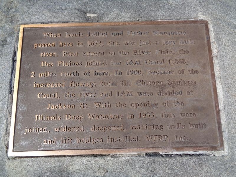
Des Plaines River
Erected by Will-Joliet Bicentennial Park, Inc.
Topics. This historical marker is listed in these topic lists: Bridges & Viaducts • Waterways & Vessels. A significant historical year for this entry is 1673.
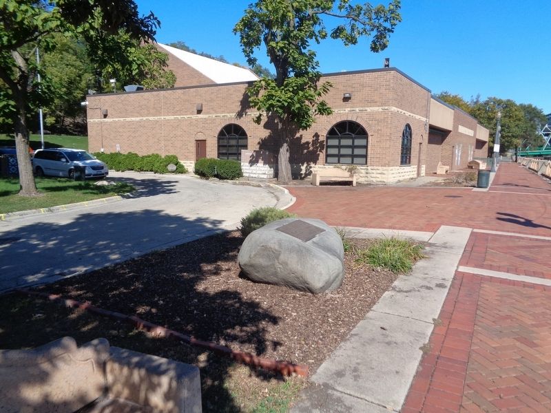
Location. 41° 31.57′ N, 88° 5.228′ W. Marker is in Joliet, Illinois, in Will County. Marker can be reached from North Bluff Street north of West Jefferson Street (U.S. 30). Marker is located at Billie Limacher Bicentennial Park. Touch for map. Marker is at or near this postal address: 30 N Bluff Street, Joliet IL 60435, United States of America. Touch for directions.
Other nearby markers. At least 8 other markers are within walking distance of this marker. Demmond House (within shouting distance of this marker); German Loan & Savings Bank (within shouting distance of this marker); James McKee's Mill and Dam (within shouting distance of this marker); Joliet's First Sidewalks (within shouting distance of this marker); Oneida Street Steps (within shouting distance of this marker); St. Louis Store (within shouting distance of this marker); Merchant's Row (within shouting distance of this marker); Joliet's First Volunteer Fire Department (about 300 feet away, measured in a direct line). Touch for a list and map of all markers in Joliet.
Credits. This page was last revised on October 6, 2020. It was originally submitted on October 6, 2020, by Jason Voigt of Glen Carbon, Illinois. This page has been viewed 143 times since then and 17 times this year. Photos: 1, 2. submitted on October 6, 2020, by Jason Voigt of Glen Carbon, Illinois.

