San Marcos in Hays County, Texas — The American South (West South Central)
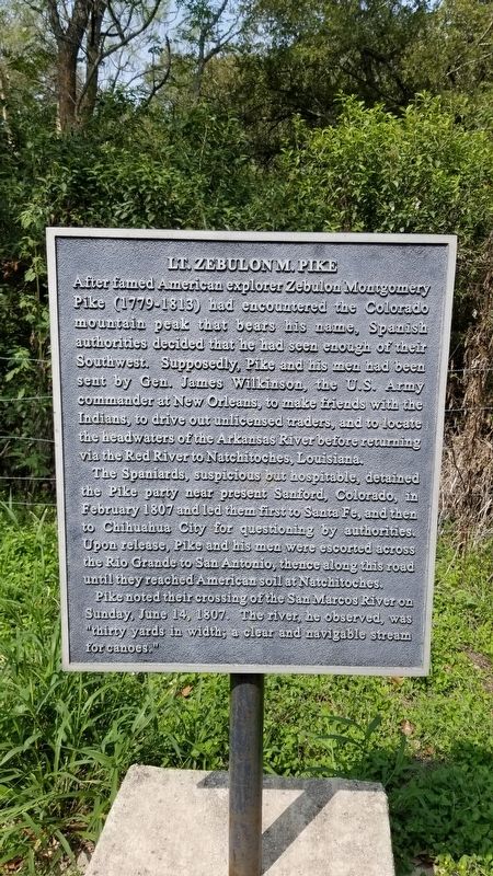
Lt. Zebulon M. Pike
After famed American explorer Zebulon Montgomery Pike (1779-1813) had encountered the Colorado mountain peak that bears his name, Spanish authorities decided that he had seen enough of their Southwest. Supposedly, Pike and his men had been sent by Gen. James Wilkinson, the U.S. Army commander at New Orleans, to make friends with the Indians, to drive out unlicensed traders, and to locate the headwaters of the Arkansas River before returning via the Red River to Natchitoches, Louisiana.
The Spaniards, suspicious but hospitable, detained the Pike party near present Sanford, Colorado, in February 1807 and led them first to Santa Fe, and then to Chihuahua City for questioning by authorities. Upon release, Pike and his men were escorted across the Rio Grande to San Antonio, thence along this road until they reached American soil at Natchitoches.
Pike noted their crossing of the San Marcos River on Sunday June 14, 1807. The river he observed, was "thirty yards in width; a clear and navigable stream for canoes.
Erected by Hays County Historical Commission.
Topics. This historical marker is listed in this topic list: Exploration. A significant historical month for this entry is February 1807.
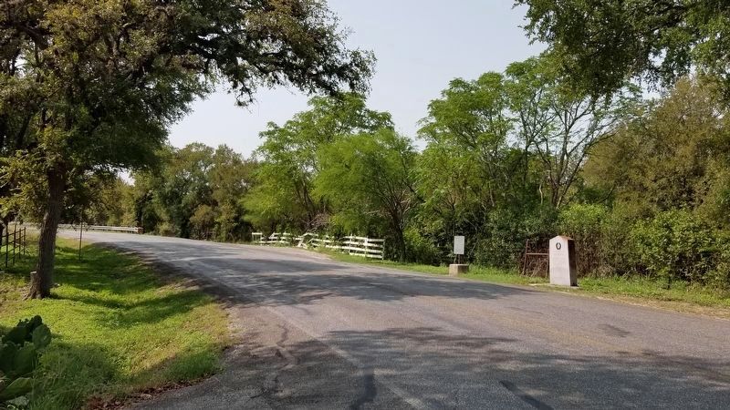
Location. 29° 51.322′ N, 97° 53.906′ W. Marker is in San Marcos , Texas, in Hays County. Marker is on Old Bastrop Road (County Highway 266) one mile south of State Highway 80, on the right when traveling south. Touch for map. Marker is in this post office area: San Marcos TX 78666, United States of America. Touch for directions.
Other nearby markers. At least 8 other markers are within 2 miles of this marker, measured as the crow flies. Don Felipe Roque de la Portilla (here, next to this marker); Site of the First Town of San Marcos (a few steps from this marker); Charles Lewis McGehee Cabin (within shouting distance of this marker); Col. Ignacio Elizondo’s 1813 Campaign (approx. ¼ mile away); McGehee Crossing (approx. 1.1 miles away); Cheatham-Hohenberg Cemetery (approx. 1.1 miles away); Kings Highway (approx. 1.2 miles away); Thompson's Islands (approx. 2.1 miles away). Touch for a list and map of all markers in San Marcos.
Also see . . . Zebulon M. Pike. TSHA Texas State Historical Association (Submitted on October 7, 2020, by James Hulse of Medina, Texas.)
Credits. This page was last revised on October 7, 2020. It was originally submitted on October 7, 2020, by James Hulse of Medina, Texas. This page has been viewed 196 times since then and 17 times this year. Photos: 1, 2. submitted on October 7, 2020, by James Hulse of Medina, Texas. • J. Makali Bruton was the editor who published this page.

