
Kirk in Klamath County, Oregon — The American West (Northwest)
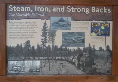
Steam, Iron, and Strong Backs
The Moveable Railroad
Photographed By Barry Swackhamer, August 7, 2020
1. Steam, Iron, and Strong Backs Marker
Captions: (background) While logging eliminated old growth trees and damaged forests, we have since learned that careful thinning of forest trees encourages understory vegetation. This lower story habitat offers forage for elk and mule deer and is habituate for the small mammals eaten by owls and other raptors.; (bottom left) Once the rail line had been built to a valley or draw, loggers harvested the timber. The rails were then moved somewhere else, and production started all over again. By 1923, an average of 160 train cars of logs per day were traveling south to the Klamath Falls mills.; (top center) In the early years of the 20th century, almost every item manufactured in America was transported in wooden boxes or crates. Klamath pine was ideal wood for making the needed boxes; it was light, soft, and straight-grained. (center) Logging brought employment to may people in the Klamath Basin. Between 1923 and 1941, there were 39 sawmills and 8 box factories operating here, employing over 4,200 men.; (upper right) By 1941, the California Fruit Grower Exchange was ordering 43,000,000 boxes per year from Klamath mills. That year, Klamath County ranked first in Oregon and second in the nation in the amount of lumber produced. Total output was an astonishing 843 million board feet. To learn more about the history of logging in Klamath County, be sure to visit Collier State Park on Hwy 97 or the Klamath County Museum in downtown Klamath Falls.
The railroad came to Klamath Falls in 1909, making it possible for lumber to be transported out of the county. Rough terrain made a permanent rail line impractical, so loggers built temporary rail lines instead, taking the railroad to where the trees were.
Erected by Klamath County Historical Society.
Topics. This historical marker is listed in these topic lists: Horticulture & Forestry • Railroads & Streetcars.
Location. 42° 53.02′ N, 121° 44.406′ W. Marker is in Kirk, Oregon, in Klamath County. Marker is on Silver Lake Road (County Route 676) near U.S. 97, on the right when traveling east. Touch for map. Marker is in this post office area: Chiloquin OR 97624, United States of America. Touch for directions.
Other nearby markers. At least 2 other markers are within 9 miles of this marker, measured as the crow flies. Geologic Apocalypse (here, next to this marker); A Sordid Wild West Story (approx. 8.6 miles away).
More about this marker. This marker is located in the Klamath Marsh
this page online
Photographed By Barry Swackhamer, August 7, 2020
2. Steam, Iron, and Strong Backs Marker
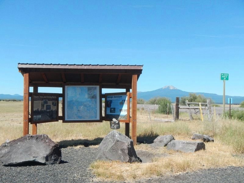
Marker on the left.
Credits. This page was last revised on October 7, 2020. It was originally submitted on October 7, 2020, by Barry Swackhamer of Brentwood, California. This page has been viewed 64 times since then and 3 times this year. Photos: 1, 2. submitted on October 7, 2020, by Barry Swackhamer of Brentwood, California.

