Towanda in McLean County, Illinois — The American Midwest (Great Lakes)
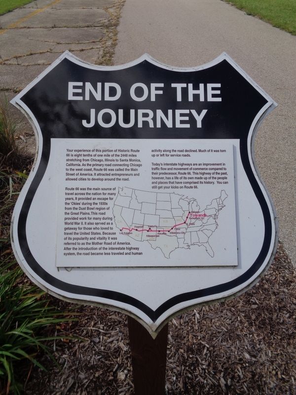
End of the Journey
Route 66 was the main source of travel across the nation for many years, it provided an escape for the 'Okies' during the 1930s from the Dust Bowl region of the Great Plains. This road provided work for many during World War II. It also served as a getaway for those who loved to travel the United States. Because of its popularity and vitality it was referred to as the Mother Road of America. After the introduction of the interestate highway system, the road became less traveled and human activity along the road declined. Much of it was torn up or left for service roads.
Today's interstate highways are an improvement in traffic flow and movement of commerce compared to their predecessor, Route 66. This highway of the past, however, has a life of its own made up of the people and places that have comprised its history. You can still get your kicks on Route 66.
Topics and series. This historical marker is listed in these topic lists: Industry & Commerce • Roads & Vehicles. In addition, it is included in the U.S. Route 66 series list.
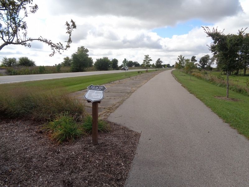
Location. 40° 33.518′ N, 88° 54.467′ W. Marker is in Towanda, Illinois, in McLean County. Marker is on Old U.S. 66, half a mile south of Monroe Street, on the right when traveling south. Marker is located off the Route 66 Bike Trail, next to Boyd Wesley Park. Touch for map. Marker is at or near this postal address: Old US Route 66, Towanda IL 61776, United States of America. Touch for directions.
Other nearby markers. At least 8 other markers are within 5 miles of this marker, measured as the crow flies. Henderson's Standard (approx. half a mile away); 1954 Route 66 Alignment (approx. 0.7 miles away); Dead Man's Curve (approx. 0.7 miles away); Pure Oil Truck Stop (approx. 0.7 miles away); 1926 Route 66 Alignment (approx. ¾ mile away); Bloomington Airport Former Site (approx. 4.2 miles away); Illinois Soldiers' and Sailors' Children's School (approx. 4½ miles away); Normal, Illinois (approx. 4.8 miles away). Touch for a list and map of all markers in Towanda.
Also see . . . Route 66 Towanda. For over 20 years, the village of Towanda has helped restore memories and the actual Mother Road. You can read all about the history here. (Submitted on October 8, 2020, by Jason Voigt of Glen Carbon, Illinois.)
Credits. This page was last revised on October 9, 2020. It was originally submitted on October 8, 2020, by Jason Voigt of Glen Carbon, Illinois. This page has been viewed 217 times since then and 16 times this year. Photos: 1, 2. submitted on October 8, 2020, by Jason Voigt of Glen Carbon, Illinois.

