Jerome in Yavapai County, Arizona — The American Mountains (Southwest)
The Arizona Republic
March 27, 1962
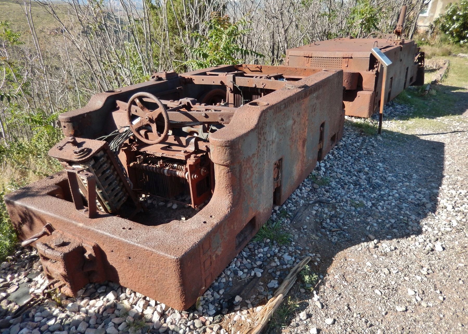
— Fifty-Year-Old Vehicles Displayed in Jerome —
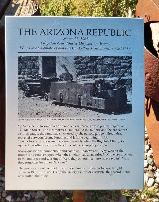
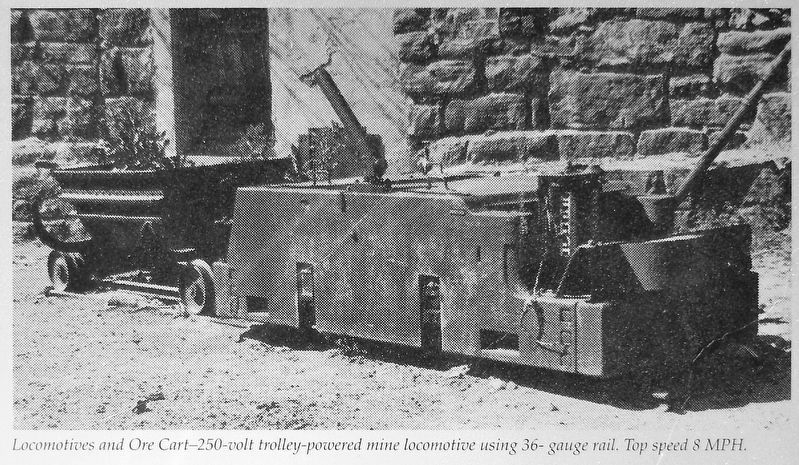
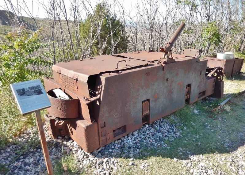
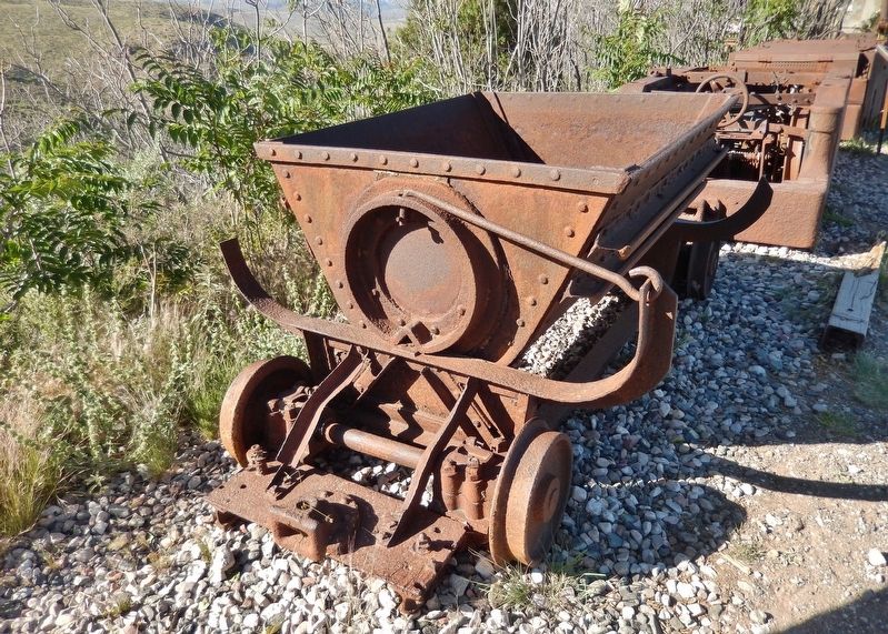
Many questions bounce about and come up unanswered. Why weren't the motors and cars scrapped when the smelter was dismantled? Why were they left in the underground workings? Were they cut off in a mine shaft cave-in? Were they forgotten for almost 50 years?
The motors are not completely a puzzle, however. One motor was bought between 1905 and 1908. Using the factory motor for a sample, the second motor was built at the mine.
Topics. This historical marker is listed in these topic lists: Industry & Commerce • Railroads & Streetcars.
Location. 34° 45.016′ N, 112° 6.452′ W. Marker is in Jerome, Arizona, in Yavapai County. Marker is on Hampshire Avenue (Arizona Route 89A) east of Douglas Road, on the left when traveling east. Marker and subject locomotive are located in a pull-out on the north side of the highway. Touch for map . Marker is in this post office area: Jerome AZ 86331, United States of America. Touch for directions.
Other nearby markers. At least 8 other markers are within walking distance of this marker. Jerome, Arizona (a few steps from this marker); Rocket Shovel and Dragline (within shouting distance of this marker); Main Street Primary School (approx. 0.3 miles away); The Gibson Market (approx. 0.3 miles away); The Childs-Irving Project - Construction Challenges (approx. 0.4 miles away); The Irving Turbine and Generator (approx. 0.4 miles away); The Childs-Irving Project-Hydroelectric Project (approx. 0.4 miles away); The Audrey Shaft and UVX Operations (approx. 0.4 miles away). Touch for a list and map of all markers in Jerome.
Credits. This page was last revised on October 10, 2020. It was originally submitted on October 9, 2020, by Cosmos Mariner of Cape Canaveral, Florida. This page has been viewed 151 times since then and 10 times this year. Photos: 1, 2, 3, 4, 5, 6. submitted on October 10, 2020, by Cosmos Mariner of Cape Canaveral, Florida.
