Near Redwood in Warren County, Mississippi — The American South (East South Central)
Haynes Bluff
— Mississippi Mound Trail —
Inscription.
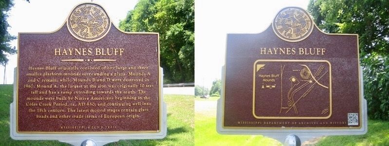
Haynes Bluff originally consisted of one large and three smaller platform mounds surrounding a plaza. Mounds A and C remain, while Mounds B and D were destroyed in 1967. Mound A, the largest at the site, was originally 30 feet tall and has a ramp extending towards the south. The mounds were built by Native Americans beginning in the Coles Creek Period, ca. AD 850, and continuing well into the 18th century. The latest mound stages contain glass beads and other trade items of European origin.
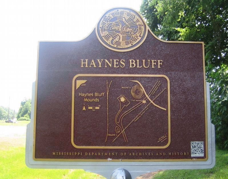
[Lower Plaque]
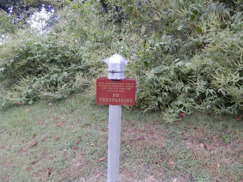
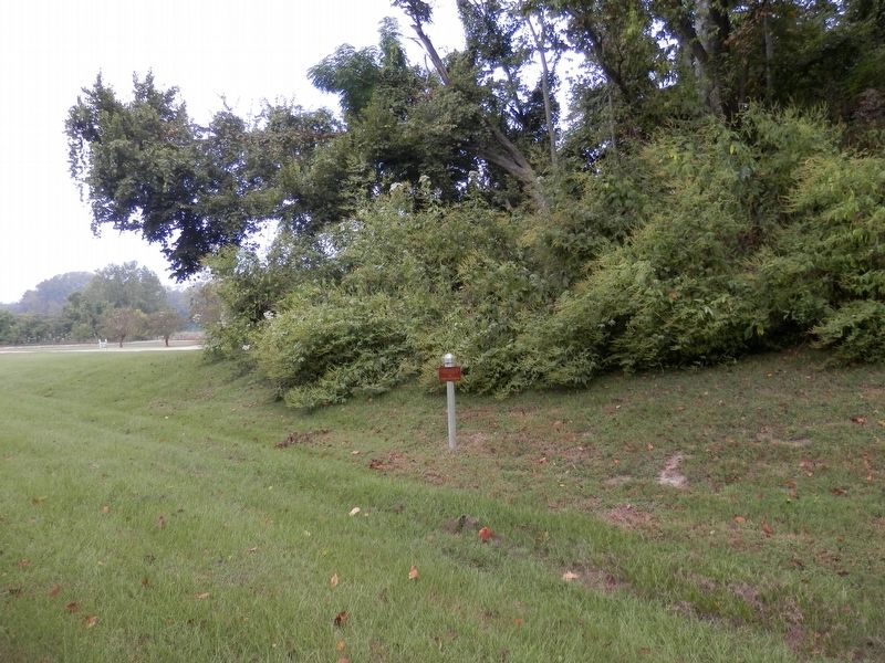
This archaeological site is on private property. Please view from the pull-off area.
NO TRESPASSING
Erected by Mississippi Department of Archives and History/Mississippi Mounds Trail.
Topics and series. This historical marker is listed in this topic list: Native Americans. In addition, it is included in the Mississippi Mound Trail series list.
Location. Marker is missing. It was located near 32° 31.419′ N, 90° 46.775′ W. Marker was near Redwood, Mississippi, in Warren County. Marker was on Silver Bullet Boulevard near State Route 3, on the left when traveling north. Touch for map. Marker was at or near this postal address: 3737 MS-3, Redwood MS 39156, United States of America. Touch for directions.
Other nearby markers. At least 8 other markers are within 9 miles of this location, measured as the crow flies. Haynes Bluff Mound (a few steps from this marker); Snyder's Bluff (approx. 2.2 miles away); Fort Snyder (approx. 2.3 miles away); Fort St. Peter (approx. 2.3 miles away); French Fort St. Pierre (approx. 2.3 miles away); Steele's Bayou Expedition (approx. 8 miles away); Vick Graves (approx. 8.3 miles away); Aden Mounds (approx. 8.6 miles away). Touch for a list and map of all markers in Redwood.
More about this marker. Marker text compliments of Mississippi Historical Markers
Also see . . . Mississippi Mounds Trail. Mississippi Historical markers website entry (Submitted on October 10, 2020, by Cajun Scrambler of Assumption, Louisiana.)
Credits. This page was last revised on April 12, 2024. It was originally submitted on October 10, 2020, by Cajun Scrambler of Assumption, Louisiana. This page has been viewed 344 times since then and 70 times this year. Photos: 1, 2. submitted on October 12, 2020, by Cajun Scrambler of Assumption, Louisiana. 3, 4. submitted on October 10, 2020, by Cajun Scrambler of Assumption, Louisiana.


