Fulshear in Fort Bend County, Texas — The American South (West South Central)
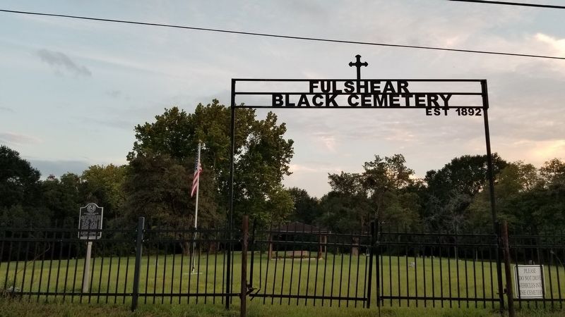
Fulshear Black Cemetery
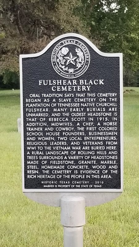
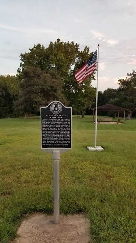
Oral tradition says that this cemetery began as a slave cemetery on the plantation of Tennessee native Churchill Fulshear. Many early burials are unmarked, and the oldest headstone is that of Rebecca Scott in 1915. In addition, midwives, a chef, a horse trainer and cowboy, the first colored school house founders, businessmen and women, two local entrepreneurs, religious leaders, and veterans from WWI to the Vietnam War are buried here. A rural landscape of rolling hills and trees surrounds a variety of headstones made of Fieldstone, Granite, Marble, Steel, Homemade Concrete, Wood and Resin. The cemetery is evidence of the rich heritage of the people in this area.
Historic Texas Cemetery - 2010
Marker is property of the State of Texas
Erected 2010 by Texas Historical Commission. (Marker Number 17257.)
Topics. This historical marker is listed in these topic lists: African Americans • Cemeteries & Burial Sites • Settlements & Settlers. A significant historical year for this entry is 1915.
Location. 29° 41.304′ N, 95° 54.274′ W. Marker is in Fulshear, Texas, in Fort Bend County. Marker is on Farm to Market Road 1093, 0.1 miles west of Lake Hill Farm Way, on the right when traveling east. Touch for map. Marker is in this post office area: Fulshear TX 77441, United States of America. Touch for directions.
Other nearby markers. At least 8 other markers are within 5 miles of this marker, measured as the crow flies. Town of Fulshear (approx. ¼ mile away); First United Methodist Church Fulshear (approx. 0.3 miles away); Albert and Ethel Herzstein (approx. 0.8 miles away); Fulshear Cemetery (approx. 0.8 miles away); Pleasant Hill Cemetery (approx. 2.6 miles away); Pittsville (approx. 3.1 miles away); Randon & Pennington Grant of 1824 (approx. 3.6 miles away); Simonton School (approx. 4.1 miles away). Touch for a list and map of all markers in Fulshear.
Credits. This page was last revised on October 11, 2020. It was originally submitted on October 10, 2020, by James Hulse of Medina, Texas. This page has been viewed 1,318 times since then and 149 times this year. Photos: 1, 2, 3. submitted on October 10, 2020, by James Hulse of Medina, Texas. • J. Makali Bruton was the editor who published this page.


