Fulshear in Fort Bend County, Texas — The American South (West South Central)
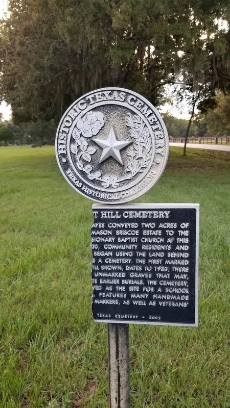
Pleasant Hill Cemetery
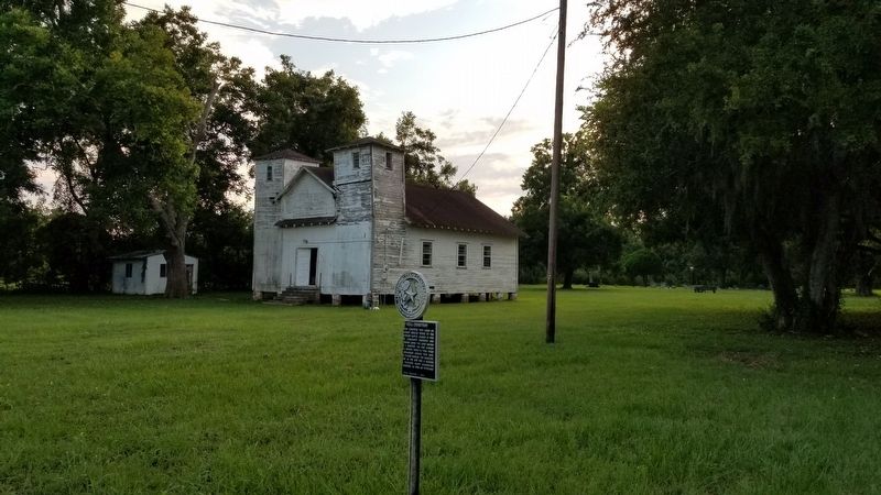
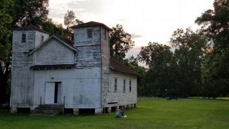
In 1910, J.G. Mayes conveyed two acres of land from the Mason Briscoe estate to the Pleasant Hill Missionary Baptist Church at this site. Around 1930, community residents and church members began using the land behind the sanctuary as a cemetery. The first marked grave, that of Will Brown, dates to 1933; there is evidence of unmarked graves that may, however, indicate earlier burials. The cemetery, which also served as the site for a school and a church, features many handmade concrete grave markers, as well as veterans' graves.
Erected 2002 by Texas Historical Commission. (Marker Number 13146.)
Topics. This historical marker is listed in these topic lists: Cemeteries & Burial Sites • Churches & Religion. A significant historical year for this entry is 1910.
Location. 29° 39.352′ N, 95° 52.942′ W. Marker has been reported damaged. Marker is in Fulshear, Texas, in Fort Bend County. Marker is at the intersection of Bois d'Arc Lane and Redbird Lane, on the right when traveling south on Bois d'Arc Lane. Touch for map. Marker is at or near this postal address: 6407 Bois d'Arc Lane, Richmond TX 77406, United States of America. Touch for directions.
Other nearby markers. At least 8 other markers are within 4 miles of this location, measured as the crow flies. Randon & Pennington Grant of 1824 (approx. one mile away); John Foster Land Grant (approx. 2.3 miles away); Town of Fulshear (approx. 2˝ miles away); Fulshear Black Cemetery (approx. 2.6 miles away); First United Methodist Church Fulshear (approx. 2.8 miles away); Albert and Ethel Herzstein (approx. 3.4 miles away); Foster Community (approx. 3.4 miles away); Fulshear Cemetery (approx. 3.4 miles away). Touch for a list and map of all markers in Fulshear.
Credits. This page was last revised on October 11, 2020. It was originally submitted on October 11, 2020, by James Hulse of Medina, Texas. This page has been viewed 552 times since then and 47 times this year. Photos: 1, 2, 3. submitted on October 11, 2020, by James Hulse of Medina, Texas. • J. Makali Bruton was the editor who published this page.


