Shepherdstown in Jefferson County, West Virginia — The American South (Appalachia)
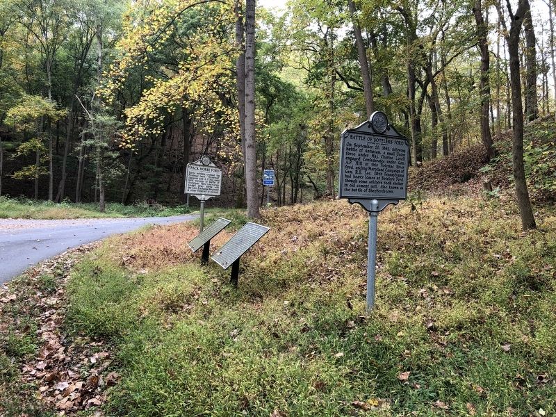
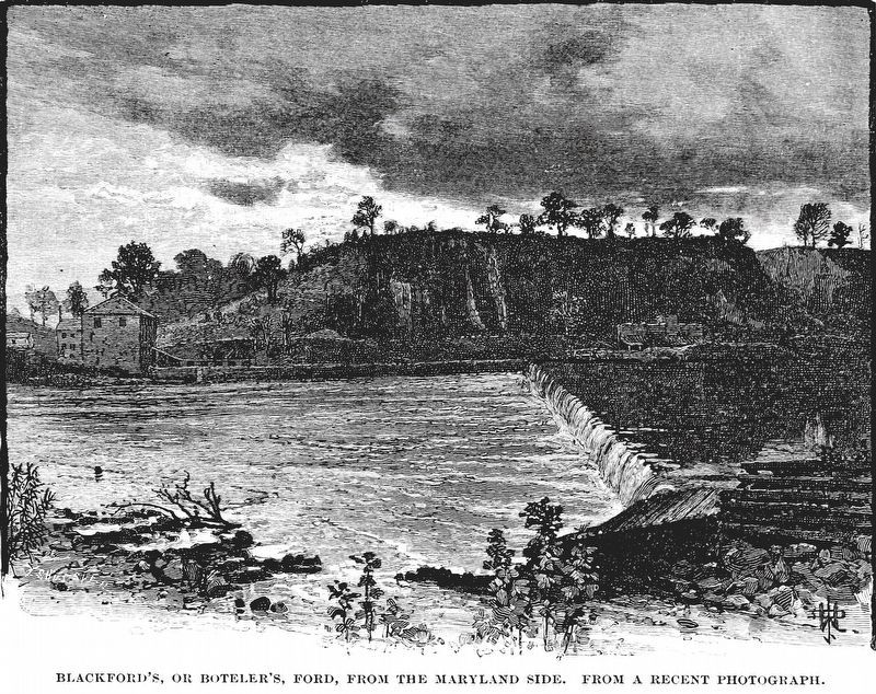
Battle of Boteler's Ford
Erected 2018 by West Virginia Archives & History.
Topics and series. This historical marker is listed in this topic list: War, US Civil. In addition, it is included in the West Virginia Archives and History series list. A significant historical date for this entry is September 20, 1862.
Location. 39° 25.676′ N, 77° 46.731′ W. Marker is in Shepherdstown, West Virginia, in Jefferson County. Marker is at the intersection of River Road (County Road 17/1) and Trough Road (County Road 31/1), on the right when traveling east on River Road. Touch for map. Marker is in this post office area: Shepherdstown WV 25443, United States of America. Touch for directions.
Other nearby markers. At least 8 other markers are within walking distance of this marker. Boteler’s Ford Tablet B. F. 3 (here, next to this marker); Boteler’s Ford Tablet B. F. 2 (a few steps from this marker); Pack Horse Ford (a few steps from this marker); Boteler’s Ford Tablet B. F. 1 (a few steps from this marker); Shepherdstown Battlefield Preservation Association (within shouting distance of this marker); Battle of Shepherdstown (about 600 feet away, measured in a direct line); Barnes' Brigade (about 600 feet away); 118th Pennsylvania Infantry (about 600 feet away). Touch for a list and map of all markers in Shepherdstown.
Credits. This page was last revised on November 8, 2020. It was originally submitted on October 12, 2020, by Devry Becker Jones of Washington, District of Columbia. This page has been viewed 383 times since then and 44 times this year. Photos: 1, 2. submitted on October 12, 2020, by Devry Becker Jones of Washington, District of Columbia. 3. submitted on November 6, 2020, by Allen C. Browne of Silver Spring, Maryland. 4. submitted on November 7, 2020, by Bradley Owen of Morgantown, West Virginia.


