Sugar Land in Fort Bend County, Texas — The American South (West South Central)
Sugar Land Independent School District No. 17
Inscription.
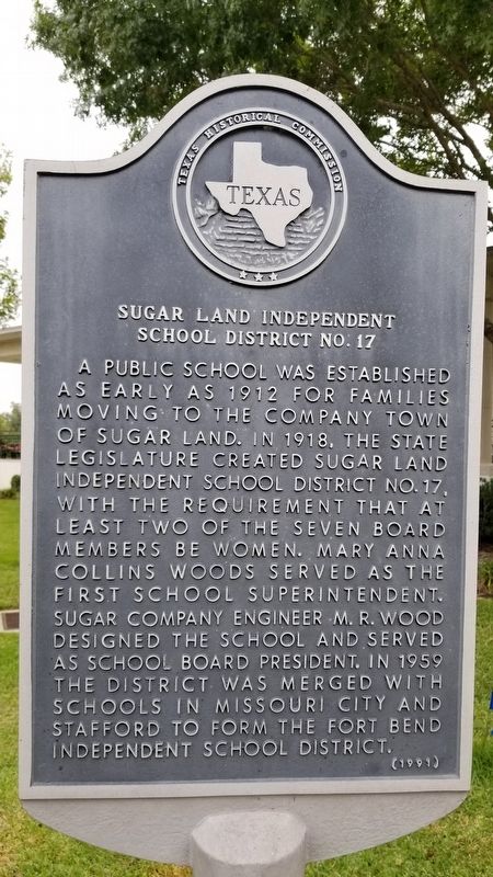
A public school was established as early as 1912 for families moving to the company town of Sugar Land. In 1918, the State Legislature created Sugar Land Independent School District No.17, with the requirement that at least two of the seven board members be women. Mary Anna Collins Woods served as the first School Superintendent. Sugar company Engineer M.R. Wood designed the school and served as School Board President. In 1959 the District was merged with schools in Missouri City and Stafford to form the Fort Bend
Independent School District. (1991)
Erected 1991 by Texas Historical Commission. (Marker Number 9071.)
Topics. This historical marker is listed in these topic lists: Education • Women. A significant historical year for this entry is 1912.
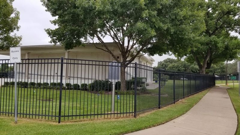
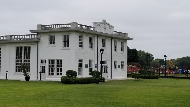
Location. 29° 37.467′ N, 95° 37.845′ W. Marker is in Sugar Land, Texas, in Fort Bend County. Marker is on Wood Street just south of Lakeview Drive, on the right when traveling north. The marker is located next to the Sugar Land Auditorium facing Wood Street behind the metal fence. Touch for map. Marker is at or near this postal address: 226 Lakeview Dr, Sugar Land TX 77498, United States of America. Touch for directions.
Other nearby markers. At least 8 other markers are within 3 miles of this marker, measured as the crow flies. In Honor of Lonnie Green (about 500 feet away, measured in a direct line); Sugar Land High School World War II Memorial (about 500 feet away); Sugar Land Refinery (approx. 0.4 miles away); Sugar Land First United Methodist Church (approx. 0.8 miles away); Texas Prison System Central State Farm Main Building (approx. 2.1 miles away); Imperial Prison Farm Cemetery (approx. 2.1 miles away); Hodge's Bend Cemetery (approx. 2.2 miles away); Stafford's Point (approx. 2.9 miles away). Touch for a list and map of all markers in Sugar Land.
Also see . . . Sugar Land Independent School District. Wikipedia (Submitted on October 12, 2020, by James Hulse of Medina, Texas.)
Credits. This page was last revised on October 12, 2020. It was originally submitted on October 12, 2020, by James Hulse of Medina, Texas. This page has been viewed 181 times since then and 8 times this year. Photos: 1, 2, 3. submitted on October 12, 2020, by James Hulse of Medina, Texas. • Devry Becker Jones was the editor who published this page.


