Northside in Houston in Harris County, Texas — The American South (West South Central)
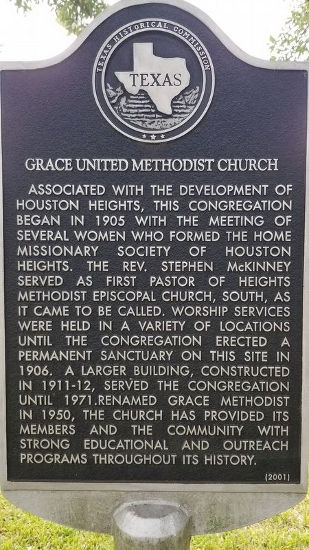
Grace United Methodist Church
Associated with the development of Houston Heights, this congregation began in 1905 with the meeting of several women who formed the Home Missionary Society of Houston Heights. The Rev. Stephen McKinney served as first pastor of Heights Methodist Episcopal Church, South, as it came to be called. Worship services were held in a variety of locations until the congregation erected a permanent sanctuary on this site in 1906. A larger building, constructed in 1911-12, served the congregation until 1971. Renamed Grace Methodist in 1950, the church has provided its members and the community with strong educational and outreach programs throughout its history.
Erected 2001 by Texas Historical Commission. (Marker Number 12536.)
Topics and series. This historical marker is listed in this topic list: Churches & Religion. In addition, it is included in the United Methodist Church Historic Sites series list. A significant historical year for this entry is 1905.
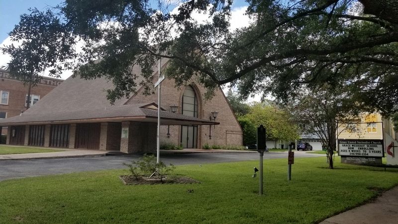
Location. 29° 47.643′ N, 95° 23.879′ W. Marker is in Houston, Texas, in Harris County. It is in Northside. Marker is at the intersection of Heights Boulevard and West 13th Street, on the right when traveling south on Heights Boulevard. Touch for map. Marker is at or near this postal address: 1245 Heights Boulevard, Houston TX 77008, United States of America. Touch for directions.
Other nearby markers. At least 8 other markers are within walking distance of this marker. Houston Heights City Hall and Fire Station (about 600 feet away, measured in a direct line); Heights Church of Christ (approx. 0.4 miles away); Reagan Masonic Lodge No. 1037 A.F. & A.M. (approx. 0.4 miles away); David Barker House (approx. 0.4 miles away); Cooley School (approx. half a mile away); Daniel Denton Cooley (approx. 0.6 miles away); St. Andrew's Episcopal Church (approx. 0.6 miles away); Houston Heights Woman's Club (approx. 0.7 miles away). Touch for a list and map of all markers in Houston.
Credits. This page was last revised on February 1, 2023. It was originally submitted on October 12, 2020, by James Hulse of Medina, Texas. This page has been viewed 198 times since then and 21 times this year. Photos: 1, 2, 3. submitted on October 12, 2020, by James Hulse of Medina, Texas. • J. Makali Bruton was the editor who published this page.


