Walkersville in Frederick County, Maryland — The American Northeast (Mid-Atlantic)
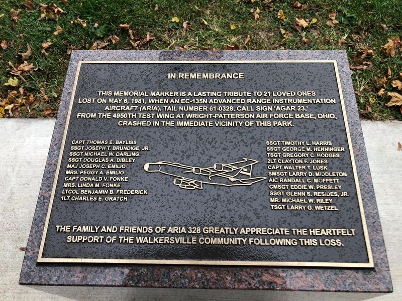
In Remembrance
This memorial marker is a lasting tribute to 21 loved ones lost on May 6, 1981, when an EC-135N Advanced Range Instrumentation Aircraft (ARIA), tail number 61-0328, call sign "AGAR 23,' from the 4950th test wing at Wright-Patterson Air Force Base, Ohio, crashed in the immediate vicinity of this park.
Capt Thomas E. Bayliss SSgt Joseph T. Brundige, Jr. SSgt Michael W. Darling SSgt Douglas A. Dibley Maj Joseph C. Emilio Mrs. Peggy A. Emilio Capt Donald V. Fonke Mrs. Linda M. Fonke LtCol Benjamin B. Frederick 1Lt Charles E. Gratch SSgt Timothy L. Harris SSgt George M. Henninger TSgt Gregory C. Hodges 2Lt Clayton F. Jones Capt Walter T. Lusk SMSgt Larry D. Middleton AIC Randall C. Moffett CMSgt Eddie W. Presley SSgt Glenn S. Resides, Jr. Mr. Michael W. Riley TSgt Larry G. Wetzel
The family and friends of ARIA 328 greatly appreciate the heartfelt support of the Walkersville community following this loss.
Topics. This historical marker is listed in these topic lists: Air & Space • Disasters. A significant historical date for this entry is May 6, 1981.
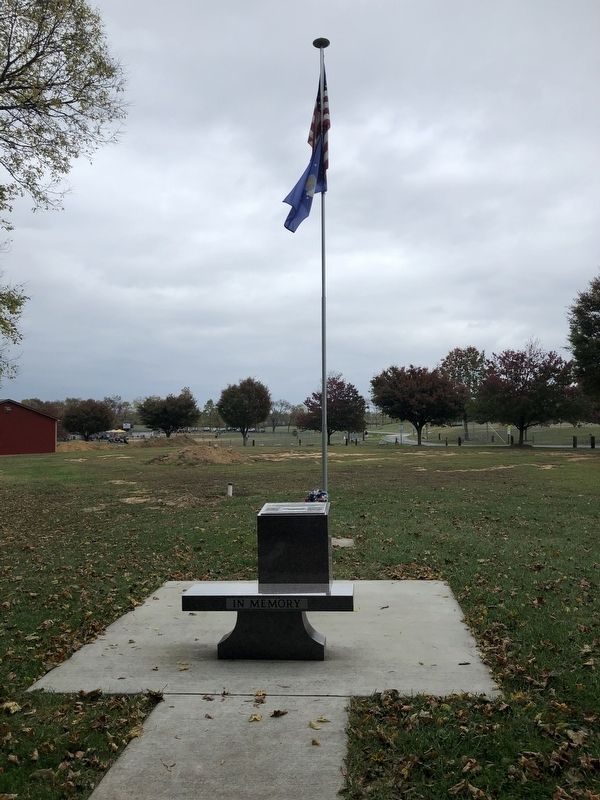
Location. 39° 29.873′ N, 77° 20.904′ W. Marker is in Walkersville, Maryland, in Frederick County. Marker is on Devilbiss Bridge Road, 0.1 miles east of Glade Road, on the right when traveling west. Touch for map. Marker is at or near this postal address: 9236 Devilbiss Bridge Rd, Walkersville MD 21793, United States of America. Touch for directions.
Other nearby markers. At least 8 other markers are within 2 miles of this marker, measured as the crow flies. Heritage Farm Park Lime Kiln (approx. 0.2 miles away); George Poe (approx. 0.9 miles away); Israel's Creek (approx. 0.9 miles away); Boiler House (approx. 1.8 miles away); Grinder / Slaker Shed (approx. 1.8 miles away); The Quarry (approx. 1.9 miles away); Crusher Shed (approx. 1.9 miles away); Chemistry in the Kiln (approx. 1.9 miles away). Touch for a list and map of all markers in Walkersville.
Credits. This page was last revised on October 12, 2020. It was originally submitted on October 12, 2020, by Devry Becker Jones of Washington, District of Columbia. This page has been viewed 240 times since then and 19 times this year. Photos: 1, 2. submitted on October 12, 2020, by Devry Becker Jones of Washington, District of Columbia.

