Santa Rita in Grant County, New Mexico — The American Mountains (Southwest)
Reclaiming the Land
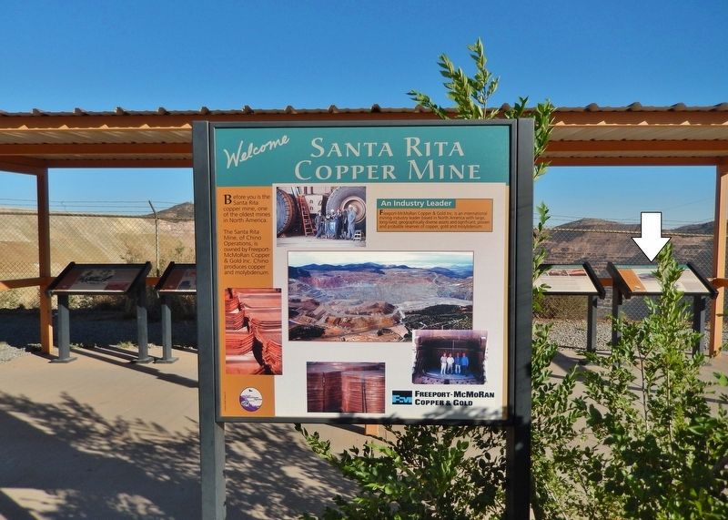
Santa Rita Copper Mine
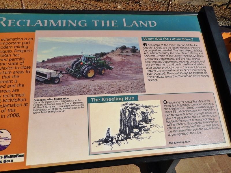
What Will the Future Bring?
When areas of the mine Freeport-McMoRan Copper & Gold are no longer needed, they will be capped and seeded. The New Mexico Mining Act, administered by the New Mexico Mining and Minerals Division of the Energy, Minerals & Natural Resources Department, and the New Mexico Environment Department, requires protection of the environment, and public health and safety, after copper production ends. It does not, however, require the removal of all evidence that mining ever occurred. There will always be evidence on these private lands that this was an active mining district.
Reseeding After Reclamation
Currently, reclamation is taking place at the Freeport-McMoRan mine at Tyrone, southwest of Silver City. To learn more about reclamation techniques, stop at the reclamation kiosk at the Tyrone Mine on Highway 90.
The Kneeling Nun
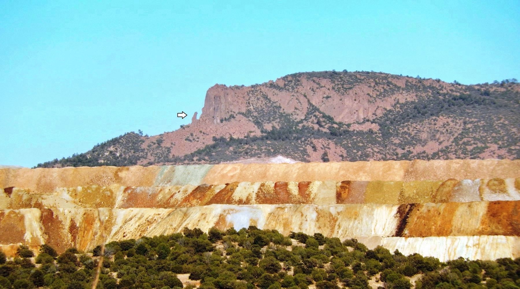
Overlooking the Santa Rita Mine is the recognizable geologic formation known as the Kneeling Nun. Formed by volcanic activity about 35 million years ago, this monolith is said to resemble a nun in prayer before an altar. For generations, this natural formation has been the source of many legends as well as folklore. Although the Kneeling Nun cannot be viewed from this vantage point, it is seen easily from both the east and west as you approach the mine.
Erected by Freeport-McMoRan Copper & Gold.
Topics. This historical marker is listed in these topic lists: Environment • Industry & Commerce. A significant historical year for this entry is 2008.
Location. 32° 48.407′ N, 108° 4.397′ W. Marker is in Santa Rita, New Mexico, in Grant County. Marker is on Scenic State Road 152, 1.1 miles east of State Highway 356, on the right when traveling east. Marker is located at an interpretive exhibit overlooking the open pit mine site to the south. Touch for map. Marker is in this post office area: Hanover NM 88041, United States of America. Touch for directions.
Other nearby markers. At least 8 other markers are within 3 miles of this marker, measured as the crow flies. Modern Mining & Processing (here, next to this marker); The Companies & People (here, next to this marker); Santa Rita Copper Mine (here, next to this marker); Open Pit Mining (here, next to this marker); The Early Mining Years (here, next to this marker); The Discovery (here, next to this marker); Kneeling Nun
(approx. 2.8 miles away); Ladies Auxiliary of Local 890 (approx. 2.8 miles away). Touch for a list and map of all markers in Santa Rita.
Related markers. Click here for a list of markers that are related to this marker. Santa Rita Copper Mine
Credits. This page was last revised on March 30, 2021. It was originally submitted on October 14, 2020, by Cosmos Mariner of Cape Canaveral, Florida. This page has been viewed 144 times since then and 14 times this year. Photos: 1. submitted on October 14, 2020, by Cosmos Mariner of Cape Canaveral, Florida. 2, 3. submitted on October 16, 2020, by Cosmos Mariner of Cape Canaveral, Florida.


