Near Norwich in Muskingum County, Ohio — The American Midwest (Great Lakes)
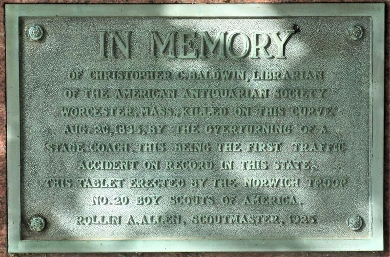
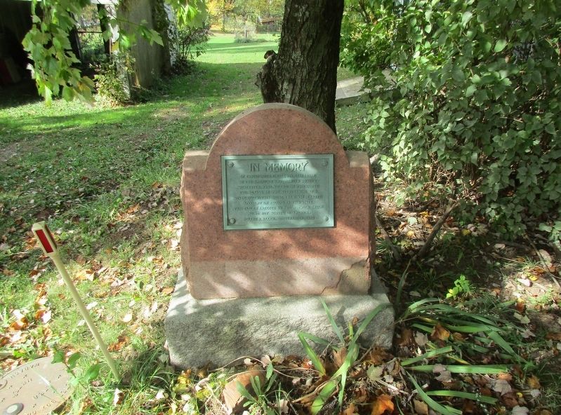
In Memory of Christopher Baldwin
First Traffic Fatality in Ohio
Erected 1925 by Norwich Troop 20, Boy Scouts of America, Rollin A. Allen, Scoutmaster.
Topics. This historical marker is listed in these topic lists: Disasters • Roads & Vehicles.
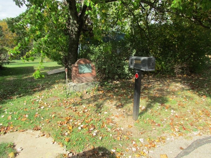
Location. 39° 59.259′ N, 81° 47.3′ W. Marker is near Norwich, Ohio, in Muskingum County. Marker is at the intersection of Main Street and Norwich Drive, on the left when traveling east on Main Street. Touch for map. Marker is at or near this postal address: 10695 East Main Street, Norwich OH 43767, United States of America. Touch for directions.
Other nearby markers. At least 8 other markers are within 2 miles of this marker, measured as the crow flies. First Traffic Fatality in Ohio / The National Road (within shouting distance of this marker); Norwich (approx. 0.2 miles away); The Ralph Hardesty Stone House (approx. 0.4 miles away); a different marker also named Norwich (approx. 0.8 miles away); Motels (approx. 2 miles away); The Historic National Road (approx. 2 miles away); The Historic National Road in Ohio (approx. 2 miles away); Mile Markers (approx. 2 miles away). Touch for a list and map of all markers in Norwich.
More about this marker. related marker-OHS 15- 60
https://www.hmdb.org/m.asp?m=13348&Result=1
Additional keywords. Old National Road Boy Scouts of America
Credits. This page was last revised on October 16, 2020. It was originally submitted on October 15, 2020, by Rev. Ronald Irick of West Liberty, Ohio. This page has been viewed 157 times since then and 12 times this year. Photos: 1, 2, 3. submitted on October 15, 2020, by Rev. Ronald Irick of West Liberty, Ohio. • Devry Becker Jones was the editor who published this page.


