Kingsport in Sullivan County, Tennessee — The American South (East South Central)
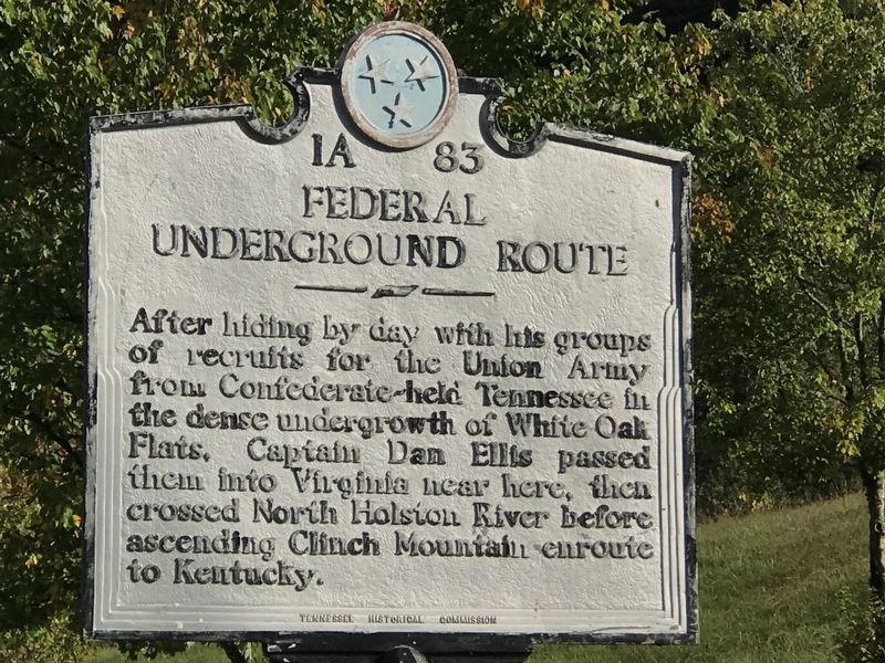
Federal Underground Route
Erected by Tennessee Historical Commission. (Marker Number 1A 83.)
Topics and series. This historical marker is listed in this topic list: War, US Civil. In addition, it is included in the Tennessee Historical Commission series list.
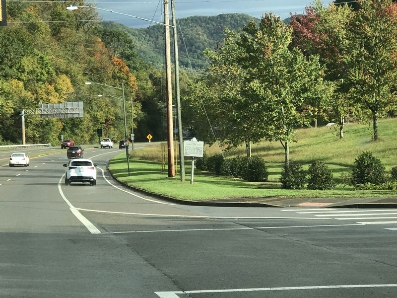
Location. 36° 35.527′ N, 82° 34.31′ W. Marker is in Kingsport, Tennessee, in Sullivan County. Marker is at the intersection of Lyn Garden Drive (State Highway 36) and West Carters Valley Road (State Highway 346), on the right when traveling north on Lyn Garden Drive. Touch for map. Marker is in this post office area: Kingsport TN 37665, United States of America. Touch for directions.
Other nearby markers. At least 8 other markers are within 3 miles of this marker, measured as the crow flies. Scott County / Tennessee (approx. 0.2 miles away in Virginia); The Great Indian Warpath (approx. 2˝ miles away); The Great Indian War Path (approx. 2.8 miles away); Old Kingsport Presbyterian Church (approx. 2.9 miles away); The Long Island of the Holston (approx. 2.9 miles away); First Court of Scott County (approx. 3 miles away in Virginia); Church Circle (approx. 3.1 miles away); The Old Schoolhouse (approx. 3.1 miles away). Touch for a list and map of all markers in Kingsport.
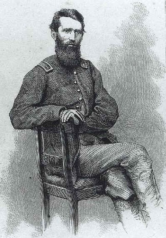
Also see . . . Captain Daniel Ellis: A Biographical Sketch. By Allen W. Ellis, Professor of Library Services at W. Frank Steely Library, Northern Kentucky University (Submitted on October 17, 2020, by Duane and Tracy Marsteller of Murfreesboro, Tennessee.)
Credits. This page was last revised on October 18, 2020. It was originally submitted on October 17, 2020, by Duane and Tracy Marsteller of Murfreesboro, Tennessee. This page has been viewed 267 times since then and 36 times this year. Photos: 1, 2, 3. submitted on October 17, 2020, by Duane and Tracy Marsteller of Murfreesboro, Tennessee. • Bernard Fisher was the editor who published this page.


