Near Mitchell in Wheeler County, Oregon — The American West (Northwest)
Painted by the Past
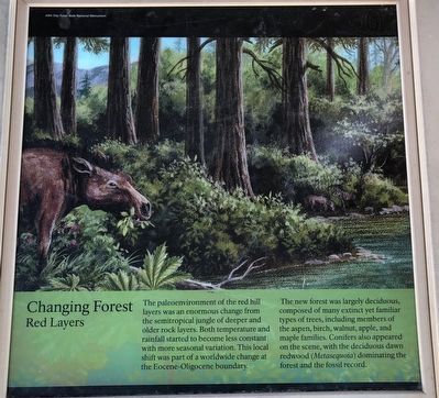
Changing Forest
Photographed By Barry Swackhamer, August 10, 2020
1. Painted by the Past Marker
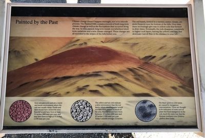
Captions: (bottom row, left to right) Iron red paleosol indicate a warm and moist environment where the soil was usually damp. Ponds and lakes would have dotted the area. Rainfall would have been at least 31 inches (800mm) per year, and may have been as high as 53 inches (1350mm) per year.; The yellow and tan soils indicated a drier environment than the red, where standing water would not have been present in much of the area. Rainfall would have been between 23 inches (600mm) and 47 inches (1200mm) per year. Today's rainfall averages 12 inches.; The black spots in some areas are caused by manganese concentrations. These are thought to be indicators of some sort of plant that fixed manganese in the soil, much the same way that the Kenyan toothpick tree (Dobera glabra) does today.
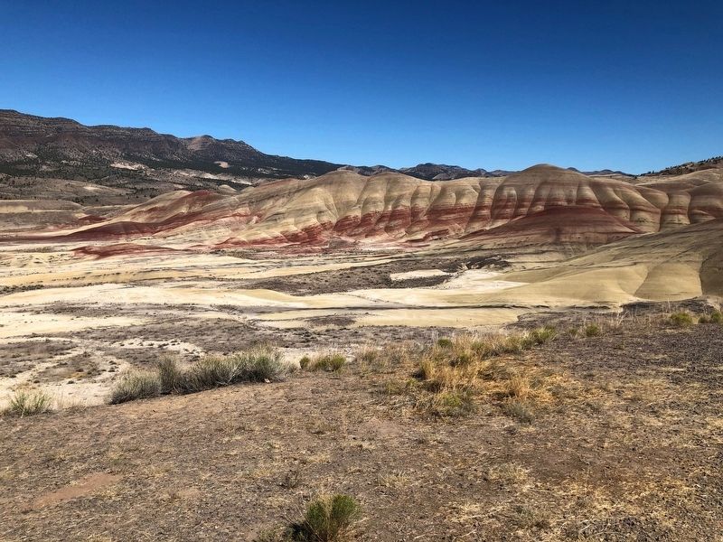
Climate changed doesn't happen overnight, nor is it a smooth process. The Painted Hills contain a record of both long term climate change as well as the fluctuations that occurred along the way. As time passed, long term trends overwhelmed short term variations and a new climate emerged. These changes are all recorded in the stripes of the hills before you.
The red bands, formed in a warmer, wetter climate, are more frequent near the bottom of the hills. Over time these increasingly give way to yellow soils that formed in drier times. Eventually, the reds disappear completely in higher rock layers, leaving the yellows and tans that dominate Carroll Rim in the distance to your left.
Red Layers
The paleoenvironment of the red hill layers was an enormous change from the semitropical jungle of deeper and older rock layers. Both temperature and rainfall started to become less constant and with more seasonal variation. This local shift was part of a worldwide change at the Eocene-Oligocene boundary.
The new forest was largely deciduous, composed of many extinct yet familiar types of trees, including members of the aspen, birch, walnut, apple, and maple families. Conifers also appeared on the scene, with the deciduous dawn redwood (Metasequoia) dominating the forest and the fossil record.
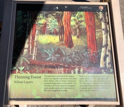
Yellow Layers
The paleoenvironment of the yellow layers was significantly cooler and drier than before, with yet more variation in seasonal temperatures and rainfall. The deciduous forests it supported began to open up during its slow transition to the open rangeland of today.
Bodies of standing water became less common than before, and although forests blanketed the area, there was a bit more space between trees. Shrubs and other smaller plants became more common and they began to fill in the more open understory.
Erected by National Park Service.
Topics. This historical marker is listed in these topic lists: Natural Features • Paleontology.
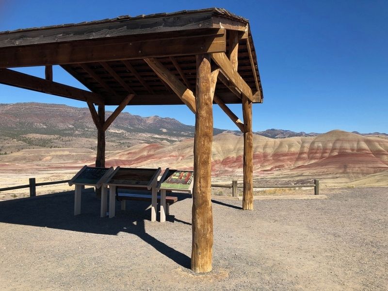
Location. 44° 38.99′ N, 120° 16.003′ W. Marker is near Mitchell, Oregon, in Wheeler County. Marker is on Bear Creek Road near Burnt Ranch Road, in the median. The marker is located at the Painted Hills Overlook. Touch for map. Marker is in this post office area: Mitchell OR 97750, United States of America. Touch for directions.
Other nearby markers. At least 8 other markers are within 11 miles of this marker, measured as the crow flies. Painted Hills Overlook (here, next to this marker); Who was John Day? (here, next to this marker); Pieces of the Puzzle
(here, next to this marker); Deciphering the Forest (here, next to this marker); A Matter of Survival (here, next to this marker); Fossils on the Frontier (approx. 0.8 miles away); Look Below the Surface (approx. 0.8 miles away); H.H. Wheeler (approx. 10.3 miles away). Touch for a list and map of all markers in Mitchell.
Credits. This page was last revised on October 17, 2020. It was originally submitted on October 17, 2020, by Barry Swackhamer of Brentwood, California. This page has been viewed 80 times since then and 9 times this year. Photos: 1, 2, 3, 4, 5. submitted on October 17, 2020, by Barry Swackhamer of Brentwood, California.
