Timberville in Rockingham County, Virginia — The American South (Mid-Atlantic)
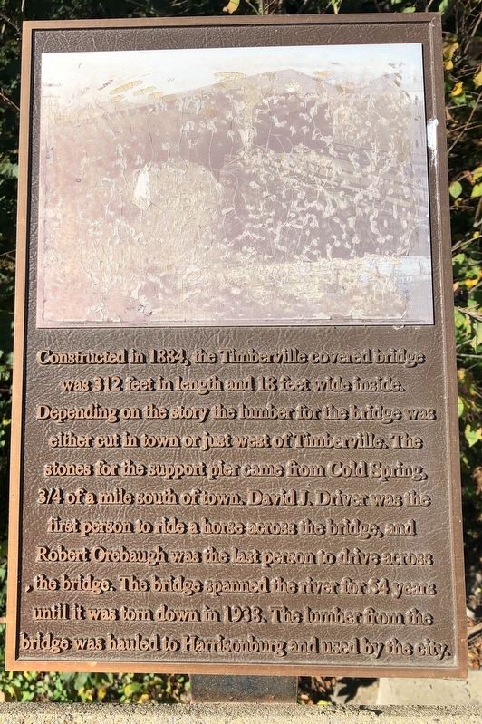
The Timberville Covered Bridge
Topics and series. This historical marker is listed in these topic lists: Animals • Bridges & Viaducts • Natural Resources. In addition, it is included in the Covered Bridges series list. A significant historical year for this entry is 1884.
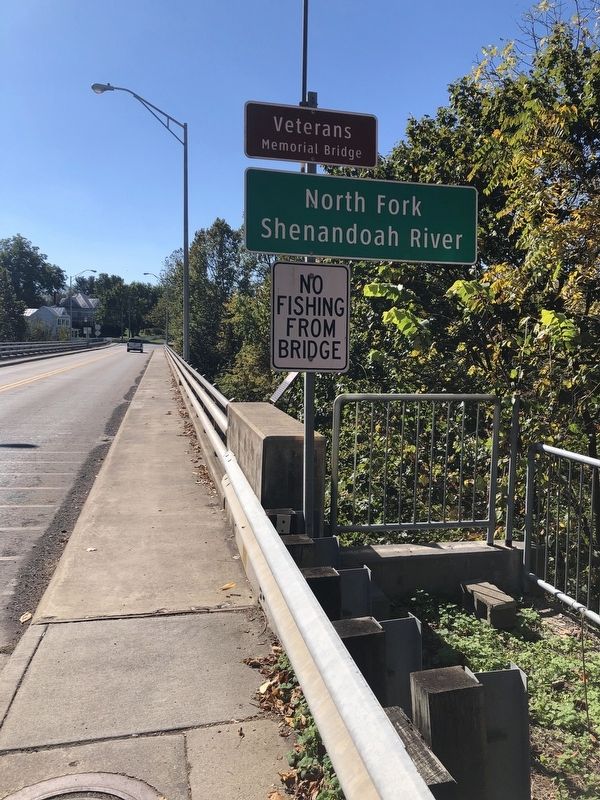
Location. 38° 38.283′ N, 78° 46.424′ W. Marker is in Timberville, Virginia, in Rockingham County. Marker is on North Main Street (Virginia Route 42) just south of Garrett Circle, on the right when traveling south. Touch for map. Marker is at or near this postal address: 124 N Main St, Timberville VA 22853, United States of America. Touch for directions.
Other nearby markers. At least 8 other markers are within 5 miles of this marker, measured as the crow flies. WW II Observation Post No. 27 (about 500 feet away, measured in a direct line); 19th c Millstone (about 600 feet away); Minnich's Store (approx. 0.2 miles away); Commemorating the Second Timberville Community School (approx. 0.2 miles away); Third Timberville Community School (approx. ¼ mile away); Veterans Memorial (approx. 2.2 miles away); a different marker also named Veterans Memorial (approx. 3.4 miles away); Elder John Kline Monument (approx. 4½ miles away). Touch for a list and map of all markers in Timberville.
Credits. This page was last revised on October 18, 2020. It was originally submitted on October 18, 2020, by Devry Becker Jones of Washington, District of Columbia. This page has been viewed 241 times since then and 29 times this year. Photos: 1, 2. submitted on October 18, 2020, by Devry Becker Jones of Washington, District of Columbia.

