Stevenson in Skamania County, Washington — The American West (Northwest)
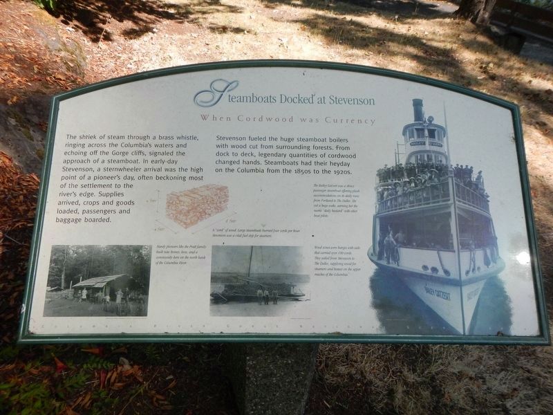
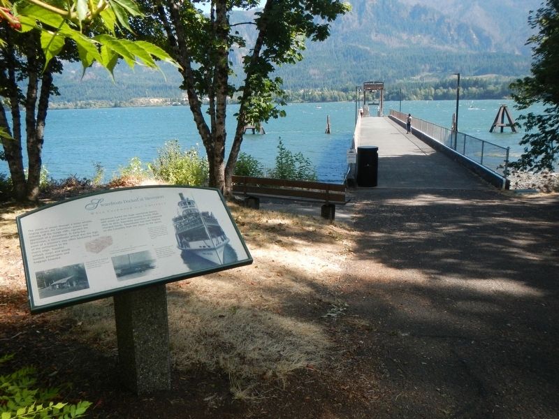
Steamboats Docked at Stevenson
When Cordwood was Currency

Photographed By Barry Swackhamer, August 12, 2020
1. Steamboats Docked at Stevenson Marker
Captions: (bottom left) Hardy pioneers like the Pratt family built new homes, lives, and a community here on the north bank of the Columbia River.; A "cord" of wood (4' x 4' x 8'). Large steamboats burned four cords per hour. Stevenson was a vital fuel stop for steamers. ; (bottom center) Wood scows were barges with sails that carried over 100 cords. They sailed from Stevenson to the Dalles, supplying wood for steamers and homes on the upper reaches of the Columbia.; (right side) The Bailey Gatzert was a showy passenger steamboat offering plush accommodations on its daily runs from Portland to the Dalles. She cut a huge wake, earning her the name "daily bastard" with other boat pilots.
Stevenson fueled the huge steamboat boilers with wood cut from surrounding forests, from dock to deck, legendary quantities of cordwood changed hands. Steamboats had their heyday on the Columbia from the 1850s to the 1920s.
Topics. This historical marker is listed in these topic lists: Industry & Commerce • Waterways & Vessels.
Location. 45° 41.508′ N, 121° 52.931′ W. Marker is in Stevenson, Washington, in Skamania County. Marker is on Russell Avenue near Southwest Cascade Avenue. The marker is at the south end of Russell Avenue. Touch for map. Marker is in this post office area: Stevenson WA 98648, United States of America. Touch for directions.
Other nearby markers. At least 8 other markers are within walking distance of this marker. "The Great Shoote" (within shouting distance of this marker); Great Depression Threatens Bank (about 400 feet away, measured in a direct line); "Stump Lifter" Elected First Mayor (about 800 feet away); Stevenson Washington (about 800 feet away); "White Lightning" In The Back Alley (about 800 feet away); Bretz Floods (about 800 feet away); Wind Mountain (approx. ¼ mile away); Gatekeepers of the Columbia (approx. 0.9 miles away). Touch for a list and map of all markers in Stevenson.
Credits. This page was last revised on October 19, 2020. It was originally submitted on October 19, 2020, by Barry Swackhamer of Brentwood, California. This page has been viewed 132 times since then and 6 times this year. Photos: 1, 2, 3. submitted on October 19, 2020, by Barry Swackhamer of Brentwood, California.

