Stevenson in Skamania County, Washington — The American West (Northwest)
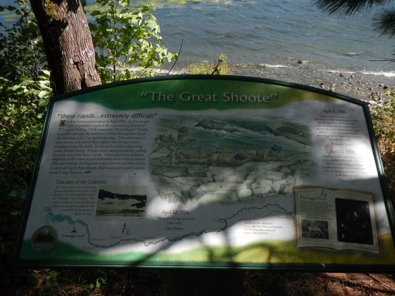
"The Great Shoote"
Inscription.
On their homeward journey in April 1806, the Lewis and Clark Expedition reached the intimidating stretch of rapids William Clark named the "Great Shoote," Unable to paddle through the turbulent waters, the explorers faced the daunting task of an upriver portage. They tied rope to their canoes and towed them agains the strong current, trudging along the shore. In the midst of this exhausting work, disaster struck. A large canoe swung broadside, pulling the rope out of the men's hands. They must have watched helplessly as the canoe surged downriver, never to be recovered. After the mishap, the Expedition was down to just four canoes to carry all thirty-three people, their equipment, and Captain Lewis's dog, Seaman.
The :Great Shoote was located where present-day Bridge of the Gods crosses the river. Pioneers named these rapids the "Cascades of the Columbia." This name is still used to describe this area today, even though the rapids are now covered by the backwaters of Bonneville Dam.
April 11, 1806
"these rapids are much worse than they were fall when we passed them, at that time there were only three difficult points within seven miles, at present the whole distance is extreemly difficult ... the water appears to be upward of 20 feet higher that when we decended the river." ~ Meriwether Lewis ~
April 12, 1806
"She took a Swing on us and broke away." ~ John Ordway ~
April 13, 1806
" Captain Lewis with the two small canoes, crossed to the south side, where there is a large village inhabited, to endeavour to purchase a small canoe or two, a we were very much crowded in the four we had." ~ Patrick Gass ~
(sidebar on right:)
Four-Legged Friend
Many men on the Lewis and Clark Expedition were poor swimmers but not Captain Lewis's dog. Seaman! The Newfoundland was adept on land and in the water. His broad feet helped him swim, even in turbulent waters. Take a rubbing of this actual-size Newfoundland paw print for you journal.
Erected by Lewis & Clark Expedition - Washington.
Topics and series. This historical marker is listed in this topic list: Exploration. In addition, it is included in the Lewis & Clark Expedition series list. A significant historical date for this entry is April 11, 1806.
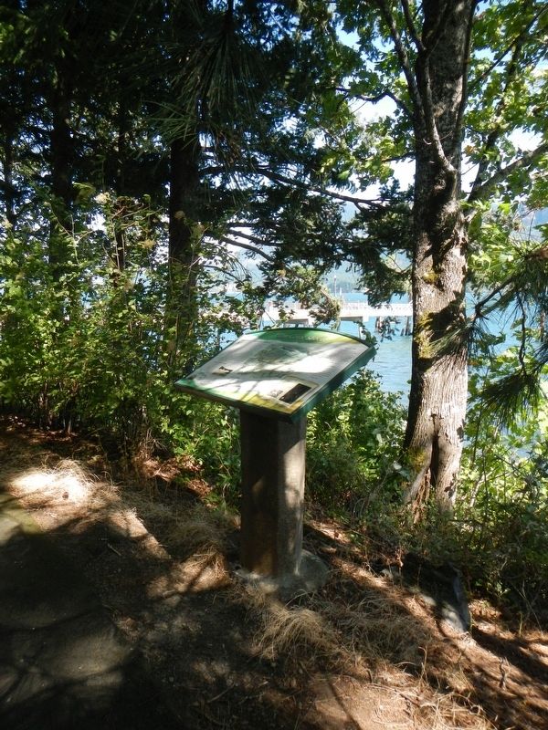
Location. 45° 41.492′ N, 121° 52.932′ W. Marker is in Stevenson, Washington, in Skamania County. Marker can be reached from Russell Avenue near Southwest Cascade Avenue. The marker is located along the shoreline, to the south of the Stevenson Pier. Touch for map. Marker is in this post office area: Stevenson WA 98648, United States of America. Touch for directions.
Other nearby markers. At least 8 other markers are within walking distance of this marker. Steamboats Docked at Stevenson (within shouting distance of this marker); Great Depression Threatens Bank (about 500 feet away, measured in a direct line); Bretz Floods (approx. 0.2 miles away); "Stump Lifter" Elected First Mayor (approx. 0.2 miles away); Stevenson Washington (approx. 0.2 miles away); "White Lightning" In The Back Alley (approx. 0.2 miles away); Wind Mountain (approx. ¼ mile away); Gatekeepers of the Columbia (approx. 0.9 miles away). Touch for a list and map of all markers in Stevenson.
Credits. This page was last revised on October 20, 2020. It was originally submitted on October 19, 2020, by Barry Swackhamer of Brentwood, California. This page has been viewed 188 times since then and 7 times this year. Photos: 1, 2. submitted on October 19, 2020, by Barry Swackhamer of Brentwood, California.

