Stevenson in Skamania County, Washington — The American West (Northwest)
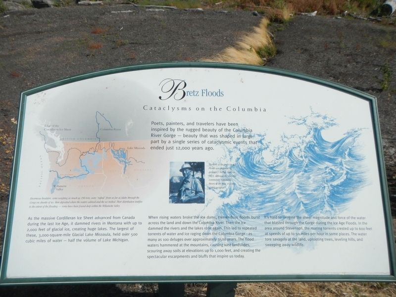
Bretz Floods
Cataclysms on the Columbia

Photographed By Barry Swackhamer, August 12, 2020
1. Bretz Floods Marker
Captions: (map, top left) Enormous boulders, some weighing as much as 190 tons, wee "rafted" from as far as Idaho through the Gorge on chunks of ice, then deposited where the waters calmed and the ice melted. Their distribution testifies to the extent of the flooding - some have been found deep within the Willamette Valley.; (photo at center) The story of the great Ice Age Floods was proposed by geologist J. Harlen Bretz in 1923. Although the scientific community rejected his theory at the time, it is now widely accepted.
As the massive Cordilleran Ice Sheet advanced from Canada during the last Ice Age, it damed rivers in Montana with up to 2,000 feet of glacial ice, creating huge lakes. The larger of these, 3,000-square-mile Glacial Lake Missoula, held over 500 cubic miles of water - half the volume of Lake Michigan.
When rising water broke the ice dams, tremendous floods burst across the land and down the Columbia River. Then the ice dammed the rivers and the lakes rose again. This lead to repeated torrents of water and ice raging down the Columbia Gorge - as many as 100 deluges over approximately 3500 years. The flood waters hammered at the mountains, causing vast landslides, scouring away soil at elevations up to 1,000 feet, and creating the spectacular escarpment and bluffs that inspire us today.
It's hard to imagine the sheer magnitude and force of the water that blasted through the Gorge during the Ice Floods. In the area around Stevenson, the roaring torrent crested up to 600 feet at speeds of up to 50 miles per hour in some places. The water tore savagely at the land, uprooting trees, leveling hill, and sweeping away wildlife.
Erected by Columbia River Gorge National Scenic Area.
Topics. This historical marker is listed in these topic lists: Disasters • Waterways & Vessels.
Location. 45° 41.566′ N, 121° 52.766′ W. Marker is in Stevenson, Washington, in Skamania County. Marker can be reached from Southwest Cascade Avenue near Leavens Street, on the right when traveling west. Touch for map. Marker is at or near this postal address: 40 Southwest Cascade Avenue, Stevenson WA 98648, United States of America. Touch for directions.
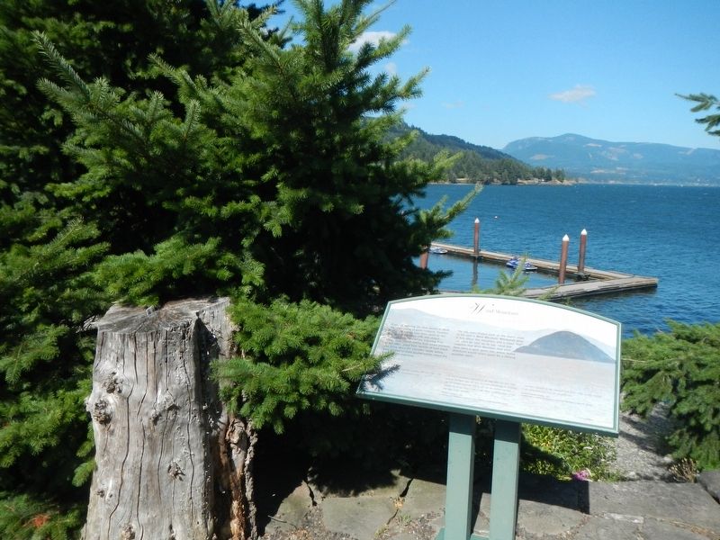
Other nearby markers. At least 8 other markers are within one mile of this marker, measured as the crow flies. Wind Mountain (about 600 feet away, measured in a direct line); Steamboats Docked at Stevenson (about 800 feet away); "The Great Shoote" (approx. 0.2 miles away); Stevenson Washington (approx. 0.2 miles away); "White Lightning" In The Back Alley (approx. 0.2 miles away); Great Depression Threatens Bank (approx. 0.2 miles away); "Stump Lifter" Elected First Mayor (approx. 0.2 miles away); Gatekeepers of the Columbia (approx. one mile away). Touch for a list and map of all markers in Stevenson.
More about this marker. The marker is located on the waterfront, behind the building on Southwest Cascade Avenue.
Credits. This page was last revised on October 19, 2020. It was originally submitted on October 19, 2020, by Barry Swackhamer of Brentwood, California. This page has been viewed 214 times since then and 13 times this year. Photos: 1, 2. submitted on October 19, 2020, by Barry Swackhamer of Brentwood, California.
