Near Mechanicsville in Hanover County, Virginia — The American South (Mid-Atlantic)
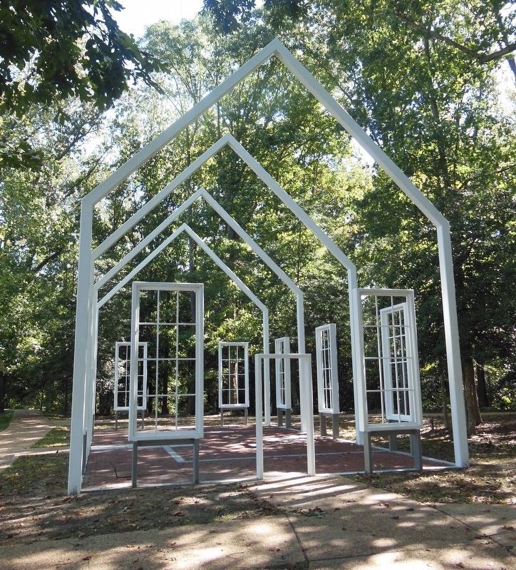
Polegreen Church
Stalemate at Totopotomoy Creek
— Lee vs. Grant – The 1864 Campaign —
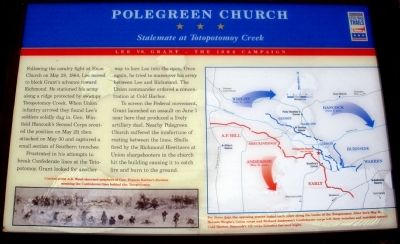
Frustrated in his attempts to break Confederate lines at the Totopotomoy, Grant looked for another way to lure Lee into the open. Once again, he tried to maneuver his army between Lee and Richmond. The Union commander ordered a concentration at Cold Harbor.
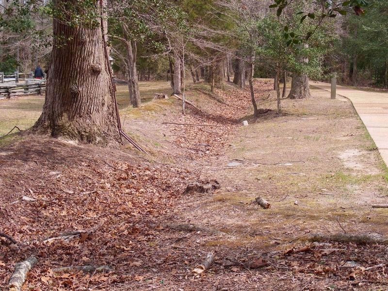
To screen the Federal movement, Grant launched an assault on June 1 near here that produced a lively artillery duel. Nearby Polegreen Church suffered the misfortune of resting between the lines. Shells fired by the Richmond Howitzers at Union sharpshooters in the church hit the building causing it to catch fire and burn to the ground.
Erected by Virginia Civil War Trails.
Topics and series. This historical marker is listed in these topic lists: Churches & Religion • War, US Civil. In addition, it is included in the Virginia Civil War Trails series list. A significant historical month for this entry is May 1860.
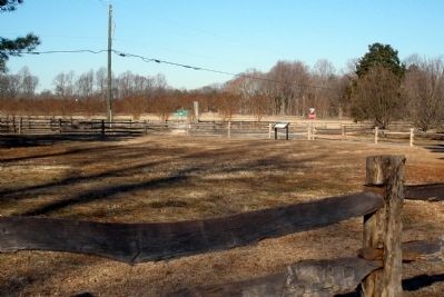
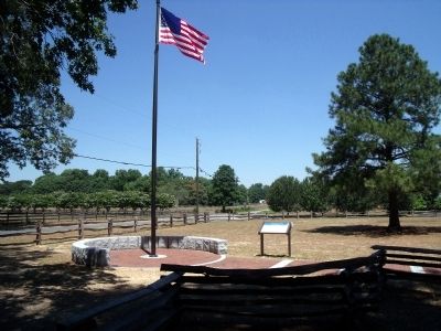
Location. 37° 38.717′ N, 77° 19.837′ W. Marker is near Mechanicsville, Virginia, in Hanover County. Marker is at the intersection of Rural Point Road (County Route 643) and Heatherwood Drive, on the right when traveling north on Rural Point Road. Touch for map. Marker is at or near this postal address: 6411 Heatherwood Drive, Mechanicsville VA 23116, United States of America. Touch for directions.
Other nearby markers. At least 8 other markers are within walking distance of this marker. A different marker also named Polegreen Church (a few steps from this marker); Site of Polegreen (a few steps from this marker); The Reading Room (within shouting distance of this marker); Welcome to Historic Polegreen Church (within shouting distance of this marker); The Polegreen Story (within shouting distance of this marker); Historic Polegreen Church (within shouting distance of this marker); a different marker also named Polegreen Church (within shouting distance of this marker); Battle of Totopotomoy Creek (about 500 feet away, measured in a direct line). Touch for a list and map of all markers in Mechanicsville.
More about this marker. On the lower left is a sketch of Union soldiers probing the Confederate lines. The sketch carries the caption, Combat artist A.R. Waud sketched members of Gen. Francis Barlow’s division scouting the Confederate lines behind the Totopotomoy.
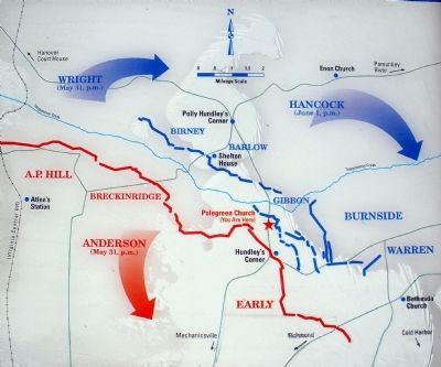
On the right is a map illustrating troop movements toward Cold Harbor. The map carries the caption, For three days the opposing armies tested each other along the banks of the Totopotomoy. After dark May 31, Horatio Wright’s Union corps and Richard Anderson’s Confederate corps left their trenches and marched toward Cold Harbor. Hancock’s US corps followed the next night.
Also see . . .
1. Historic Polegreen Church Foundation. (Submitted on February 3, 2009.)
2. The Battle of Totopotomoy Creek, May 29-31, 1864. Richmond National Battlefield Park (Submitted on November 29, 2014.)
3. Totopotomoy Creek. CWSAC Battle Summary (Submitted on February 3, 2009.)
Credits. This page was last revised on June 21, 2021. It was originally submitted on February 3, 2009, by Bernard Fisher of Richmond, Virginia. This page has been viewed 2,847 times since then and 39 times this year. Photos: 1, 2, 3. submitted on February 3, 2009, by Bernard Fisher of Richmond, Virginia. 4. submitted on July 5, 2010, by Bernard Fisher of Richmond, Virginia. 5. submitted on November 29, 2014, by Bernard Fisher of Richmond, Virginia. 6. submitted on March 25, 2018, by Pete Payette of Orange, Virginia. 7. submitted on June 20, 2021, by Bradley Owen of Morgantown, West Virginia. • Craig Swain was the editor who published this page.
