Pontiac in Livingston County, Illinois — The American Midwest (Great Lakes)
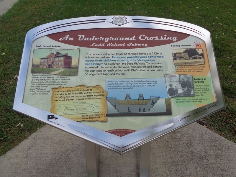
An Underground Crossing
Ladd School Subway
Civic leaders welcomed Route 66 through Pontiac in 1926 as a boon for business. However, parents were concerned about their children crossing this "dangerous speedway.' As a solution, the State Highway Commission excavated a tunnel under the road. Students crossed beneath the busy road to reach school until 1945, when a new Route 66 alignment bypassed the city.
Ladd School Petition
Routes 4 and 66 were rerouted to Ladd Street in 1926, bringing speeding traffic past Ladd School (located at the present site of the First Baptist Church). Concerned parents signed a petition and demanded a center island "Refuge for Safety" be constructed in front of the school.
Serving Travelers
The Indian Inn on the corner of Ladd and Livingston (near here) offered travelers food, fuel, and lodging.
Explore a Subway
This photo shows students using a subway in Odell, Illinois under Route 66. Today, visitors can stop by and see a partial restoration of the steps.
(side quote:)
"We believe this situation should be remedied as far as possible and this menace to the safety and lives of our people, especially our school children, reduced to a minimum…"
October 1926 Petition to Pontiac City Council
(photo caption:)
Instead of a center island, the State Highway Commission constructed a safer "subway" under the road. When traffic was diverted to a new Route 66 alignment in 1945, the tunnel entrances were sealed.
Erected by Illinois Route 66 Scenic Byway.
Topics and series. This historical marker is listed in these topic lists: Education • Industry & Commerce • Roads & Vehicles. In addition, it is included in the U.S. Route 66 series list. A significant historical year for this entry is 1926.
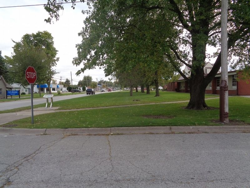
Location. 40° 52.962′ N, 88° 38.291′ W. Marker is in Pontiac, Illinois, in Livingston County. Marker is at the intersection of Prairie Street and North Ladd Street, on the right when traveling east on Prairie Street. Marker is at the northeast corner of First Baptist Church. Touch for map. Marker is at or near this postal address: 515 North Ladd Street, Pontiac IL 61764, United States of America. Touch for directions.
Other nearby markers. At least 8 other markers are within walking distance of this marker. Fell Leads The Way (approx. ¼ mile away); Citizenry Mourn Lincoln (approx. ¼ mile away); Patrolling "Bloody 66" (approx. 0.3 miles away); Lincoln Visits Strevell (approx. 0.3 miles away); Lincoln Stranded Here (approx. 0.4 miles away); Lincoln Speaks at Church (approx. 0.4 miles away); Historic Division Street Bridge (approx. half a mile away); A Bridge to the Past (approx. half a mile away). Touch for a list and map of all markers in Pontiac.
Credits. This page was last revised on November 4, 2021. It was originally submitted on October 20, 2020, by Jason Voigt of Glen Carbon, Illinois. This page has been viewed 316 times since then and 33 times this year. Photos: 1, 2. submitted on October 20, 2020, by Jason Voigt of Glen Carbon, Illinois.

