Near Coldspring in San Jacinto County, Texas — The American South (West South Central)
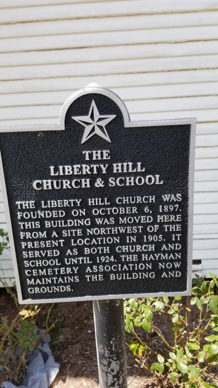
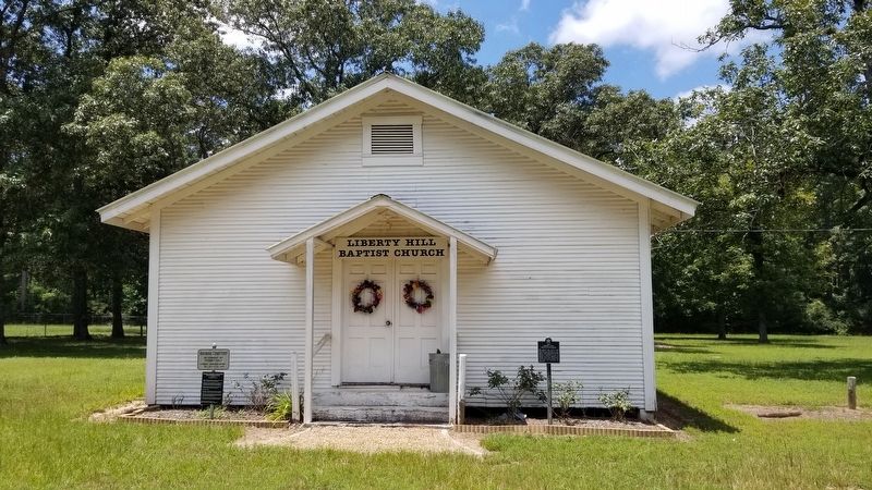
The Liberty Hill Church & School
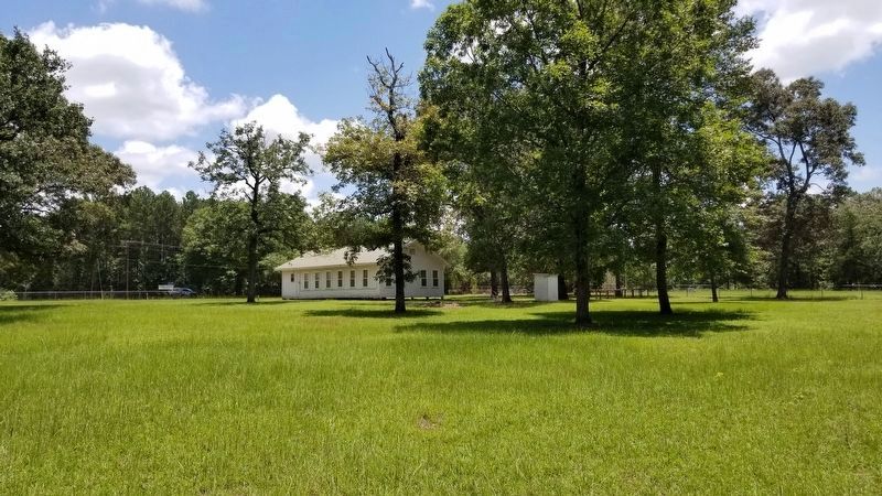
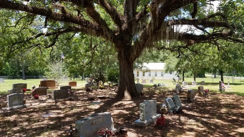
The Liberty Hill Church was founded on October 6, 1897. This building was moved here from a site northwest of the present location in 1905. It served as both church and school until 1924. The Hayman Cemetery Association now maintains the building and grounds.
Erected by Hayman Cemetery Association.
Topics. This historical marker is listed in these topic lists: Cemeteries & Burial Sites • Churches & Religion • Education. A significant historical date for this entry is October 6, 1897.
Location. 30° 30.908′ N, 95° 8.651′ W. Marker is near Coldspring, Texas, in San Jacinto County. Marker is at the intersection of Farm to Market Road 2025 and Big Creek Scenic Road (County Highway 221), on the left when traveling north on Highway 2025. Touch for map. Marker is in this post office area: Coldspring TX 77331, United States of America. Touch for directions.
Other nearby markers. At least 8 other markers are within 6 miles of this marker, measured as the crow flies. Liberty Hill Fire Tower (approx. 0.2 miles away); San Jacinto County (approx. 5 miles away); First Baptist Church of Coldspring (approx. 5.3 miles away); J. M. Hansbro's Law Office (approx. 5.4 miles away); Townsite of Coldspring (approx. 5.4 miles away); Coldspring Methodist Church (approx. 5.4 miles away); Governor George Tyler Wood (approx. 5.4 miles away); San Jacinto County Courthouse (approx. 5.4 miles away). Touch for a list and map of all markers in Coldspring.
Credits. This page was last revised on October 20, 2020. It was originally submitted on October 20, 2020, by James Hulse of Medina, Texas. This page has been viewed 194 times since then and 13 times this year. Photos: 1, 2, 3, 4, 5. submitted on October 20, 2020, by James Hulse of Medina, Texas. • J. Makali Bruton was the editor who published this page.


