Near Gapland in Washington County, Maryland — The American Northeast (Mid-Atlantic)
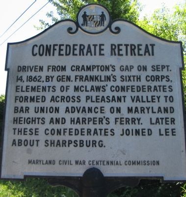
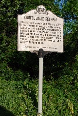
Confederate Retreat
Erected by Maryland Civil War Centennial Commission.
Topics. This historical marker is listed in this topic list: War, US Civil. A significant historical month for this entry is September 1865.
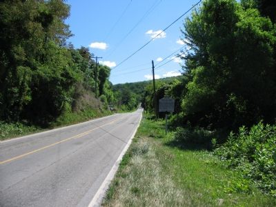
Location. Marker has been reported missing. It was located near 39° 23.985′ N, 77° 39.273′ W. Marker was near Gapland, Maryland, in Washington County. Marker was at the intersection of Gapland Road and Rohrersville Road (Maryland Route 67), on the left when traveling west on Gapland Road. Touch for map. Marker was in this post office area: Rohrersville MD 21779, United States of America. Touch for directions.
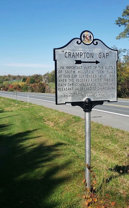
Other nearby markers. At least 8 other markers are within walking distance of this location. “Crampton Gap” (about 300 feet away, measured in a direct line); Brownsville Pass: Semmes’ Gamble (approx. 0.8 miles away); The 15th North Carolina (approx. 0.8 miles away); GATH: The Man and His Mountain (approx. 0.9 miles away); Mell Rifles & Troup Light Artillery (approx. 0.9 miles away); Cobb’s Brigade McLaw’s Division C.S.A. (approx. 0.9 miles away); Troup Light Artillery (approx. 0.9 miles away); Padgett’s Field: Confederate Last Stand (approx. 0.9 miles away).
More about this marker. Marker is missing.
Credits. This page was last revised on October 30, 2020. It was originally submitted on August 13, 2007, by Craig Swain of Leesburg, Virginia. This page has been viewed 1,587 times since then and 16 times this year. Last updated on October 21, 2020, by Bradley Owen of Morgantown, West Virginia. Photos: 1, 2. submitted on August 13, 2007, by Craig Swain of Leesburg, Virginia. 3. submitted on August 9, 2015, by Brandon Fletcher of Chattanooga, Tennessee. 4. submitted on October 21, 2020, by Bradley Owen of Morgantown, West Virginia. • Bill Pfingsten was the editor who published this page.


