Near Ashland in Hanover County, Virginia — The American South (Mid-Atlantic)
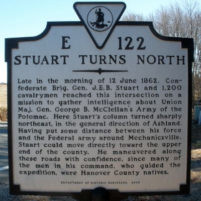
Stuart Turns North
Erected 2002 by Department of Historic Resources. (Marker Number E-122.)
Topics and series. This historical marker is listed in this topic list: War, US Civil. In addition, it is included in the Virginia Department of Historic Resources (DHR) series list. A significant historical date for this entry is June 12, 1862.
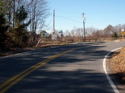
Location. 37° 44.149′ N, 77° 33.184′ W. Marker is near Ashland, Virginia, in Hanover County. Marker is at the intersection of Cedar Lane (County Route 623) and Ashland Road, on the left when traveling west on Cedar Lane. Touch for map. Marker is in this post office area: Ashland VA 23005, United States of America. Touch for directions.
Other nearby markers. At least 8 other markers are within 5 miles of this marker, measured as the crow flies. Early Stages of Stuart's Ride Around McClellan (approx. 2.4 miles away); M60 Main Battle Tank (approx. 3.1 miles away); Stuart's Riders Skirt Ashland (approx. 3˝ miles away); Hanover County / Henrico County (approx. 3˝ miles away); Stuart's Ride Around McClellan Begins (approx. 3˝ miles away); John Preston Clarke (approx. 3.7 miles away); Town Of Ashland Historic District (approx. 4.1 miles away); Maybelle Carter Family Residence (approx. 4.2 miles away). Touch for a list and map of all markers in Ashland.
Credits. This page was last revised on June 16, 2016. It was originally submitted on February 3, 2009, by Bernard Fisher of Richmond, Virginia. This page has been viewed 1,127 times since then and 31 times this year. Photos: 1, 2. submitted on February 3, 2009, by Bernard Fisher of Richmond, Virginia. • Craig Swain was the editor who published this page.

