Woodstock in Shenandoah County, Virginia — The American South (Mid-Atlantic)
Toms Brook
Topics. This historical marker is listed in this topic list: War, US Civil. A significant historical year for this entry is 1864.
Location. 38° 52.924′ N, 78° 30.328′ W. Marker is in Woodstock, Virginia, in Shenandoah County. Marker is at the intersection of North Main Street (U.S. 11) and West Court Street, on the right when traveling south on North Main Street. Touch for map. Marker is at or near this postal address: 57 N Main St, Woodstock VA 22664, United States of America. Touch for directions.
Other nearby markers. At least 8 other markers are within walking distance of this marker. Strasburg (here, next to this marker); This Building of (here, next to this marker); John Peter Gabriel Muhlenberg (a few steps from this marker); Mount Jackson (a few steps from this marker); County of Shenandoah (a few steps from this marker); Town of New Market (a few steps from this marker); Town of Mount Jackson (a few steps from this marker); Town of Edinburg (a few steps from this marker). Touch for a list and map of all markers in Woodstock.

Photographed By Devry Becker Jones (CC0), October 23, 2020
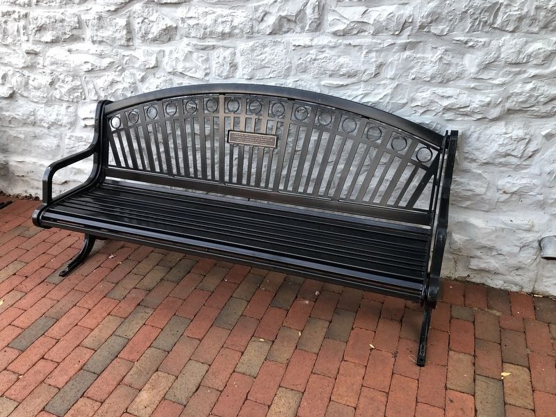
2. Toms Brook Marker
The plaque is on the bench.
Credits. This page was last revised on October 23, 2020. It was originally submitted on October 23, 2020, by Devry Becker Jones of Washington, District of Columbia. This page has been viewed 132 times since then and 24 times this year. Photos: 1, 2. submitted on October 23, 2020, by Devry Becker Jones of Washington, District of Columbia.
