Buzzards Bay in Barnstable County, Massachusetts — The American Northeast (New England)
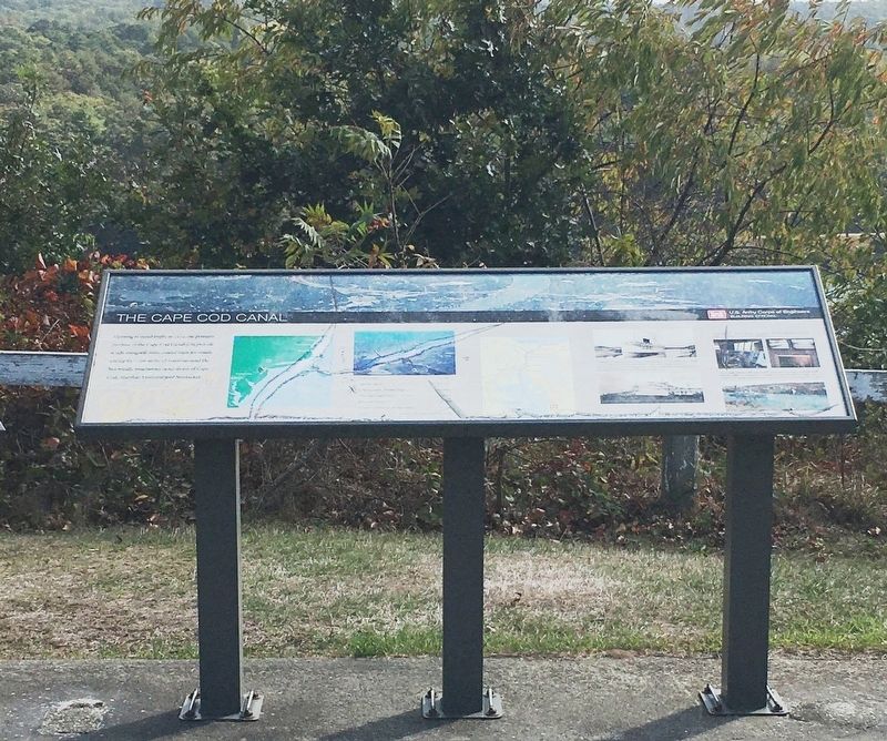
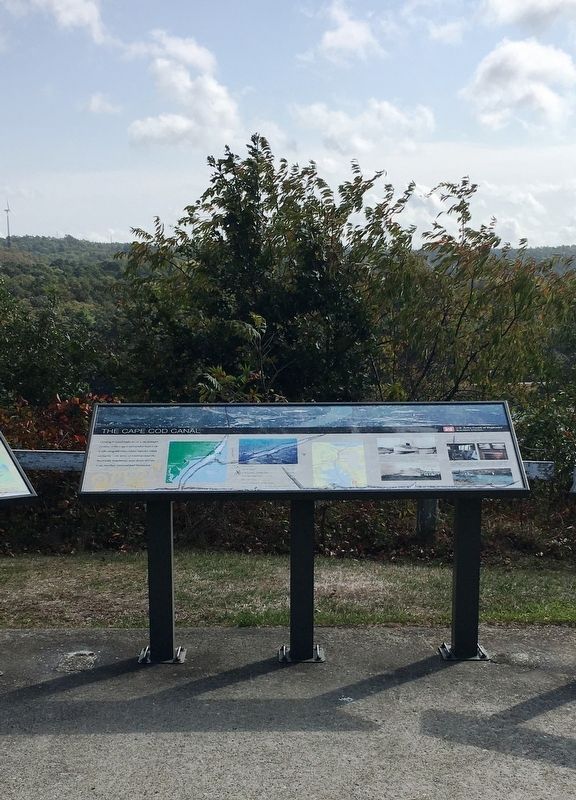
The Cape Cod Canal
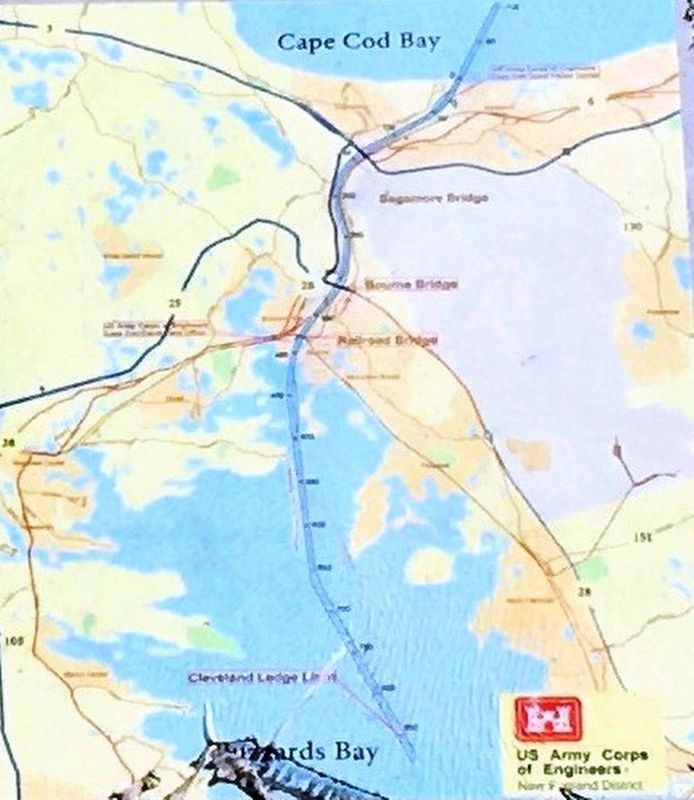
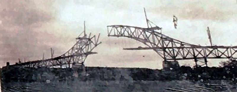
Opening to vessel traffic in 1914, the primary purpose of the Cape Cod Canal is to provide a safe, navigable intra-coastal route for vessels, saving 65 – 166 miles of travel around the historically treacherous outer shores of Cape Cod, Martha’s Vineyard and Nantucket.
Total Length: 17.4 miles
Landcut Length: 8.1 miles
Total Approach Channel Length: 9.3 miles
Minimum Depth at Mean Low Tide: 32 feet
Minimum Width: 480 feet
Vertical Clearance Under the Bridges: 135 feet
Locks: 0 (the Cape Cod Canal is sea level)
Erected by U.S. Army Corps of Engineers.
Topics. This historical marker is listed in these topic lists: Industry & Commerce • Waterways & Vessels.
Location. 41° 45.754′ N, 70° 34.324′ W. Marker is in Buzzards Bay, Massachusetts, in Barnstable County. Marker can be reached from Valeri Road (U.S. 6) south of Deerpath Trail. Located in a scenic rest area overlooking the Cape Cod Canal. Touch for map. Marker is in this post office area: Buzzards Bay MA 02532, United States of America. Touch for directions.
Other nearby markers. At least 8 other markers are within 2 miles of this marker, measured as the crow flies. William Barclay Parsons (approx. 0.3 miles away); Monica Dickens Stratton (approx. 0.3 miles away); August Belmont (approx. 0.3 miles away); a different marker also named Cape Cod Canal (approx. 0.3 miles away); Burying Hill (approx. one mile away); Still on Patrol (approx. 1.1 miles away); Disabled Veterans Of All Wars (approx. 1.8 miles away); Town Of Bourne World War I Memorial (approx. 1.9 miles away). Touch for a list and map of all markers in Buzzards Bay.
Credits. This page was last revised on October 26, 2020. It was originally submitted on October 24, 2020, by Brandon D Cross of Flagler Beach, Florida. This page has been viewed 192 times since then and 14 times this year. Photos: 1, 2, 3, 4, 5, 6. submitted on October 24, 2020, by Brandon D Cross of Flagler Beach, Florida. • Michael Herrick was the editor who published this page.
