Middletown in Frederick County, Virginia — The American South (Mid-Atlantic)
Slowing the Advance
The Morning Attack Trails
— Cedar Creek and Belle Grove National Historical Park —
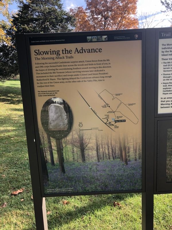
Following the successful Confederate surprise attack, Union forces from the 8th and 19th corps formed battle lines across the woods and fields in front of you, in the hopes of slowing the overwhelming Southern assault moving in this direction. This included the 8th Vermont (whose surviving veterans later dedicated a monument to their sacrifice) and troops under Colonel (and future President) Rutherford B. Hayes. This fighting delayed the Confederate advance long enough for the rest of the Union army, on the other side of the Valley Pike, time to readjust their lines.
[Captions:]
The Vermont monument was one of the first put on the Cedar Creek Battlefield.
Thousands of Virginia bluebells bloom beneath these trees in the springtime.
Erected by National Park Service, U.S. Department of the Interior.
Topics and series. This historical marker is listed in this topic list: War, US Civil. In addition, it is included in the Former U.S. Presidents: #19 Rutherford B. Hayes series list.
Location. 39° 0.68′ N, 78° 18.331′ W. Marker is in Middletown, Virginia, in Frederick County. Marker is on Valley Pike (U.S. 11) north of Water Plant Road, on the right when traveling north. Touch for map. Marker is at or near this postal address: 8693 Valley Pike, Middletown VA 22645, United States of America. Touch for directions.
Other nearby markers. At least 8 other markers are within walking distance of this marker. The Shenandoah Valley / Battle of Cedar Creek, October 19, 1864 (here, next to this marker); Eve of Battle (within shouting distance of this marker); Stand of the Eighth Vermont (about 600 feet away, measured in a direct line); Cedar Creek (about 700 feet away); Signal Knob During the Civil War (about 800 feet away); a different marker also named Eve of Battle (approx. 0.2 miles away); Battle of Cedar Creek (approx. 0.2 miles away); South Carolina Troops at Cedar Creek (approx. ¼ mile away). Touch for a list and map of all markers in Middletown.
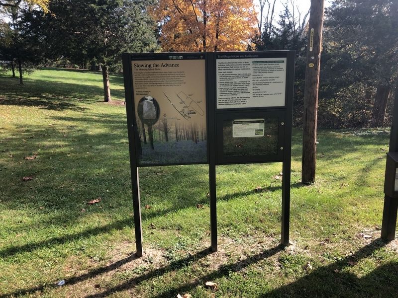
Regarding Slowing the Advance. The Morning Attack Trails consist of three individual trails, which cross land preserved by the National Park Service, and can be hiked individually or in various combinations.
These trails include:
• The 8th Vermont Monument Trail-0.15-mile-long trail (0.3-mile-long round trip), through wooded terrain with one moderate incline, to the 8th Vermont monument.
• Thomas Brigade Loop Trail-a 0.7-mile-long trail, through gently rolling open fields, which focuses on the stand of Col. Stephen Thomas's Brigade.
• Hayes-Ramseur
Credits. This page was last revised on October 29, 2023. It was originally submitted on October 24, 2020, by Devry Becker Jones of Washington, District of Columbia. This page has been viewed 163 times since then and 23 times this year. Photos: 1, 2. submitted on October 24, 2020, by Devry Becker Jones of Washington, District of Columbia. 3. submitted on October 29, 2023, by Bradley Owen of Morgantown, West Virginia.


