St. Michaels in Talbot County, Maryland — The American Northeast (Mid-Atlantic)
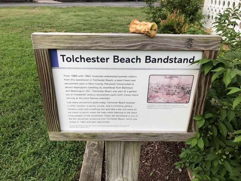
Tolchester Beach Bandstand
From 1880 until 1962, musicians entertained summer visitors from this bandstand at Tolchester Beach, a resort town and amusement park in Kent County, Maryland. Constructed to attract daytrippers traveling by steamboat from Baltimore and Washington, D.C., Tolchester Beach was part of a golden era of nineteenth century amusement parks (with Coney Island serving as the most famous example).
Like many amusement parks today. Tolchester Beach boasted a roller coaster, a penny arcade, and a shooting gallery. Visitors could rent a bathing suit and take a dip, and enjoy an ice cream or picnic under the trees while listening to the latest tunes played on the bandstand. Today, the bandstand is one of the few structures remaining from Tolchester Beach, which was closed in 1962 and later demolished.
Erected by Chesapeake Bay Maritime Museum.
Topics. This historical marker is listed in these topic lists: Arts, Letters, Music • Entertainment • Parks & Recreational Areas. A significant historical year for this entry is 1880.
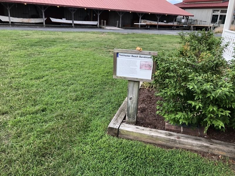
Location. 38° 47.262′ N, 76° 13.185′ W. Marker is in St. Michaels, Maryland, in Talbot County. Marker is on Mill Street near Burns Street, on the right when traveling east. Touch for map. Marker is at or near this postal address: 100 North Lane, Saint Michaels MD 21663, United States of America. Touch for directions.
Other nearby markers. At least 8 other markers are within walking distance of this marker. Point Lookout Fog Bell Tower (a few steps from this marker); Smith Island Crabbing Skiff (a few steps from this marker); Heard Through the Fog (within shouting distance of this marker); Bushwack Boat (within shouting distance of this marker); Iconic Chesapeake Light (within shouting distance of this marker); Sharptown Barge (within shouting distance of this marker); St. Michaels Packing Company Warehouse (within shouting distance of this marker); Chesapeake Bay Small Craft (within shouting distance of this marker). Touch for a list and map of all markers in St. Michaels.
More about this marker. [Caption:] The Bandstand as it appeared in a lithograph of Tolchester Beach, c. 1890. Lithograph by R. H. Eichner & Co. Collection of the Chesapeake Bay Maritime Museum, St. Michaels, MD. Gift of Mr. and Mrs. Walter B. Harris.
Related marker. Click here for another marker that is related to this marker. This marker has replaced the linked marker.
Credits. This page was last revised on November 12, 2020. It was originally submitted on August 26, 2019, by Devry Becker Jones of Washington, District of Columbia. This page has been viewed 145 times since then and 15 times this year. Last updated on October 24, 2020, by Carl Gordon Moore Jr. of North East, Maryland. Photos: 1, 2. submitted on August 26, 2019, by Devry Becker Jones of Washington, District of Columbia.

