St. Michaels in Talbot County, Maryland — The American Northeast (Mid-Atlantic)
Smith Island Crabbing Skiff
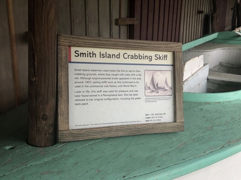
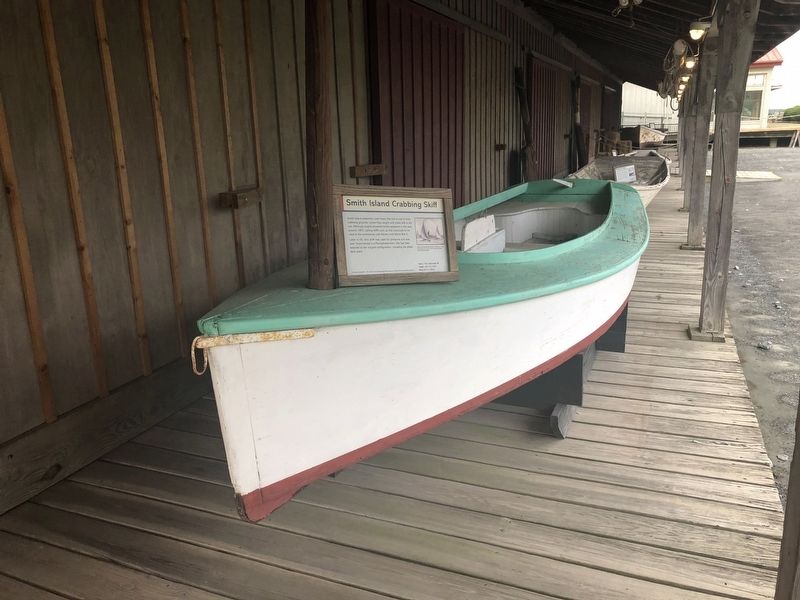
Smith Island watermen used boats like this to sail to their crabbing grounds, where they caught soft crabs with a dip net. Although engine-powered boats appeared in the area around 1907, sailing skiffs such as this continued to be used in the commercial crab fishery until World War II.
Later in life, this skiff was used for pleasure and was later found stored in a Pennsylvania barn. She has been restored to her original configuration, including the green deck paint.
Smith Island crabbing skiff, c. 1925. Collection of the Chesapeake Bay Maritime Museum, St. Michaels, MD. Gift of Chester Marron, 2007-7-1.
Built: c. 1925, Smith Island, MD
Length: 18ft, 11in (5.5m)
Beam: 6 ft, 1in (1.85m)
Erected by Chesapeake Bay Maritime Museum.
Topics. This historical marker is listed in these topic lists: Animals • Industry & Commerce • Waterways & Vessels. A significant historical year for this entry is 1907.
Location. 38° 47.273′ N, 76° 13.192′ W. Marker is in St. Michaels, Maryland, in Talbot County. It is on Mill Street east of Burns Street, on the left when traveling east. Touch for map. Marker is at
this page online

Regionally, this marker is on the Eastern Shore. It is also in the American Mid-Atlantic, on the Delmarva Peninsula, in the Tidewater, in the Chesapeake Bay Region, and on the Eastern Seaboard. Globally, it is in the North Atlantic Region, North America, the Western Hemisphere, the Western World, and the Anglosphere. Historically, it finds itself in what was once one of the original Thirteen Colonies and also the Antebellum South.
Other nearby markers. At least 8 other markers are within walking distance of this marker: Chesapeake Bay Small Craft (here, next to this marker); Smith Island Power Crabbing Skiff (here, next to this marker); St. Michaels Packing Company Warehouse (here, next to this marker); Sharptown Barge (a few steps from this marker); Bushwack Boat (a few steps from this marker); Small Boat Shed (a few steps from this marker); Kennedy M. Fitzgerald (a few steps from this marker); Fishing Shanty/Ark (a few steps from this marker). Touch for a list and map of all markers in St. Michaels.
More about this marker.
Credits. This page was last revised on October 5, 2025. It was originally submitted on August 26, 2019, by Devry Becker Jones of Washington, District of Columbia. This page has been viewed 720 times since then and 37 times this year. Last updated on October 25, 2020, by Carl Gordon Moore Jr. of North East, Maryland. Photos: 1, 2. submitted on August 26, 2019, by Devry Becker Jones of Washington, District of Columbia.
