Baltic in Holmes County, Ohio — The American Midwest (Great Lakes)
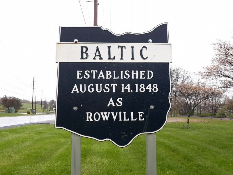
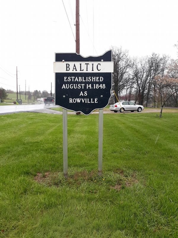
Baltic
Ohio Corporation Limit Marker
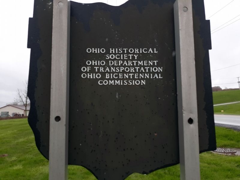
Erected by Ohio Historical Society.
Topics. This historical marker is listed in this topic list: Settlements & Settlers. A significant historical date for this entry is August 14, 1848.
Location. 40° 26.933′ N, 81° 41.9′ W. Marker is in Baltic, Ohio, in Holmes County. Marker is at the intersection of North Ray Street (Ohio Route 93) and North Ray Street, on the left when traveling north on North Ray Street. Touch for map. Marker is at or near this postal address: 604 N Ray St, Baltic OH 43804, United States of America. Touch for directions.
Other nearby markers. At least 8 other markers are within 5 miles of this marker, measured as the crow flies. Colonel Bouquet's Trail and The Port Washington Road (within shouting distance of this marker); Bouquet’s Trail, 1764 / Port Washington Road (about 300 feet away, measured in a direct line); Giant Cuckoo Clock (approx. 4.8 miles away); Tom F. Miller (approx. 4.8 miles away); Milton Blickensderfer (approx. 4.8 miles away); Lt. Gen. Donald L. Putt, U.S.A.F. (approx. 4.8 miles away); The Putt Memorial (approx. 4.8 miles away); History of Shanesville (approx. 4.9 miles away). Touch for a list and map of all markers in Baltic.
Credits. This page was last revised on October 27, 2020. It was originally submitted on October 27, 2020, by Craig Doda of Napoleon, Ohio. This page has been viewed 173 times since then and 16 times this year. Photos: 1, 2, 3. submitted on October 27, 2020, by Craig Doda of Napoleon, Ohio. • Devry Becker Jones was the editor who published this page.


