Walla Walla in Walla Walla County, Washington — The American West (Northwest)
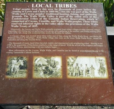
Local Tribes
Historically, the Cayuse and Walla Walla annually migrated from winter villages to other seasonal villages, beginning with fishing and root gathering in the spring, berry gathering in the summer, and fishing and big game hunts in the fall, along with occasional treks across the Rockies for buffalo.
A Cayuse village was located about three miles east of here along the Walla Walla River, just above the Whitman Mission at Waiilatpu. Walla Walla village sites were on the lower Walla Wall River, nearer the Columbia and along the Touchet River.
For thousands of years, local tribes traveled, traded, and intermarried with neighboring tribes. Starting in the 1700's, the acquisition of fine horses enabled a wider range of travel. With the arrival of the trappers and traders at Fort Nez Perce, intermarriage with non-Indians began.
More information on the Cayuse, Walla Walla, and Umatilla can be found at www.tamastkikt.org or by visiting Tamastslikt Cultural Institute.
Erected by Tamastslikt Cultural Institute.
Topics. This historical marker is listed in this topic list: Native Americans. A significant historical year for this entry is 1855.
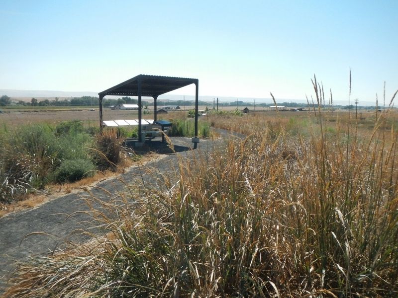
Location. 46° 3.049′ N, 118° 30.513′ W. Marker is in Walla Walla, Washington, in Walla Walla County. Marker can be reached from Old Highway 12 near U.S. 12. The marker is located at the top of the hill in Frenchtown Historic District, near the St. Rose Cemetery. Touch for map. Marker is at or near this postal address: 8174 Old Highway 12, Walla Walla WA 99362, United States of America. Touch for directions.
Other nearby markers. At least 8 other markers are within walking distance of this marker. Frenchtown (here, next to this marker); The Battle of Walla Walla (here, next to this marker); Saint Rose Mission (here, next to this marker); Welcome to the Prince's Cabin (approx. 0.2 miles away); Hudson's Bay Company (approx. 0.2 miles away); The Prince (approx. 0.2 miles away); French-Canadian Cabin Design (approx. 0.2 miles away); St. Rose Mission (approx. 0.2 miles away). Touch for a list and map of all markers in Walla Walla.
Credits. This page was last revised on October 27, 2020. It was originally submitted on October 27, 2020, by Barry Swackhamer of Brentwood, California. This page has been viewed 101 times since then and 10 times this year. Photos: 1, 2. submitted on October 27, 2020, by Barry Swackhamer of Brentwood, California.

