Paducah in McCracken County, Kentucky — The American South (East South Central)
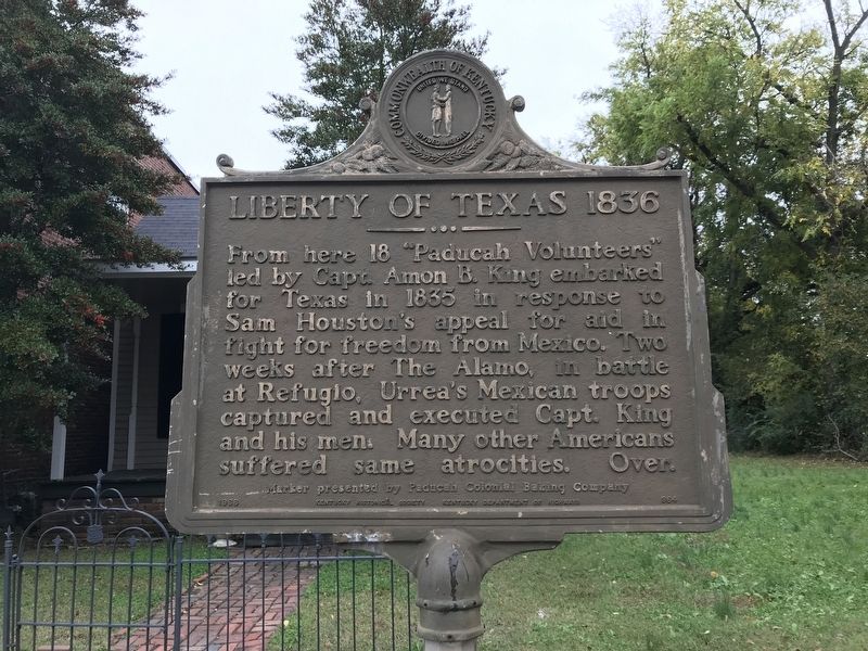
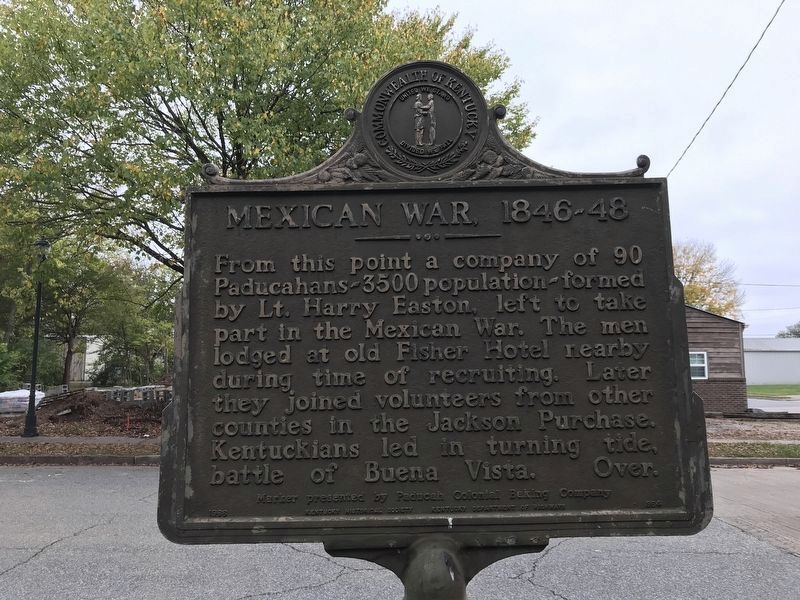
Liberty of Texas 1836 / Mexican-American War 1846-48
Erected 1966 by Kentucky Historical Commission and Kentucky Department of Highways; presented by Paducah Colonial Baking Company. (Marker Number 864.)
Topics and series. This historical marker is listed in these topic lists: War, Mexican-American • War, Texas Independence. In addition, it is included in the Kentucky Historical Society series list. A significant historical year for this entry is 1835.
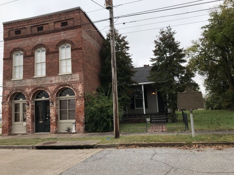
Location. 37° 5.498′ N, 88° 36.252′ W. Marker is in Paducah, Kentucky , in McCracken County. Marker is on North 6th Street just south of Park Avenue (Business U.S. 60), on the left when traveling south. Touch for map. Marker is at or near this postal address: 628 N 6th St, Paducah KY 42001, United States of America. Touch for directions.
Other nearby markers. At least 8 other markers are within walking distance of this marker. A Paducah CSA Hero (about 400 feet away, measured in a direct line); Death of Albert Thompson (about 400 feet away); 8th U.S. Colored Heavy Artillery (about 500 feet away); Grant's Proclamation (about 500 feet away); Fort Anderson (about 500 feet away); Battle of Paducah-March 1864 (about 500 feet away); Quilt Title: …And Our Flag Was Still There!, 2013 (about 600 feet away); Quilt Title: Corona II: Solar Eclipse, 1989 (about 600 feet away). Touch for a list and map of all markers in Paducah.
Also see . . . King, Amon Butler (1807–1836). Texas State Historical Association Handbook of Texas biography by Hobart Huson and Craig H. Roell. (Submitted on October 27, 2020, by Duane and Tracy Marsteller of Murfreesboro, Tennessee.)
Credits. This page was last revised on October 28, 2020. It was originally submitted on October 27, 2020, by Duane and Tracy Marsteller of Murfreesboro, Tennessee. This page has been viewed 241 times since then and 24 times this year. Photos: 1, 2, 3. submitted on October 27, 2020, by Duane and Tracy Marsteller of Murfreesboro, Tennessee. • Devry Becker Jones was the editor who published this page.


