Bart Township near Quarryville in Lancaster County, Pennsylvania — The American Northeast (Mid-Atlantic)
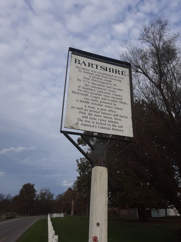
Bartshire
Topics. This historical marker is listed in these topic lists: Colonial Era • Industry & Commerce • Settlements & Settlers. A significant historical year for this entry is 1747.
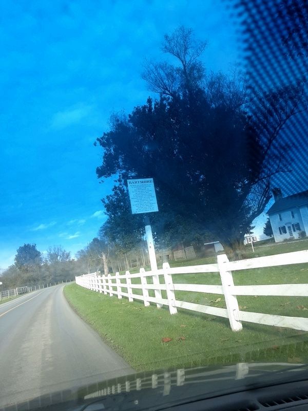
Location. 39° 54.502′ N, 76° 4.182′ W. Marker is near Quarryville, Pennsylvania, in Lancaster County. It is in Bart Township. Marker is on Dry Wells Road, 0.1 miles east of Heyberger Road, on the right when traveling east. Touch for map. Marker is at or near this postal address: 307 Dry Wells Road, Quarryville PA 17566, United States of America. Touch for directions.
Other nearby markers. At least 8 other markers are within 5 miles of this marker, measured as the crow flies. A Stream for Steam (approx. 0.9 miles away); Jackson's Mill Bridge (1878) (approx. one mile away); A Job on the A & S (approx. 2 miles away); The Atglen & Susquehanna Low Grade (approx. 2 miles away); The Christiana Riot (approx. 3.6 miles away); William C. Sproul (approx. 4.3 miles away); Mercer’s Mill Covered Bridge (1880) (approx. 4.9 miles away); East Octoraro #1 Bridge (1910-2020) (approx. 4.9 miles away). Touch for a list and map of all markers in Quarryville.
Credits. This page was last revised on February 7, 2023. It was originally submitted on October 27, 2020, by Carl Gordon Moore Jr. of North East, Maryland. This page has been viewed 261 times since then and 13 times this year. Photos: 1, 2. submitted on October 27, 2020, by Carl Gordon Moore Jr. of North East, Maryland. • Bill Pfingsten was the editor who published this page.

