Paducah in McCracken County, Kentucky — The American South (East South Central)
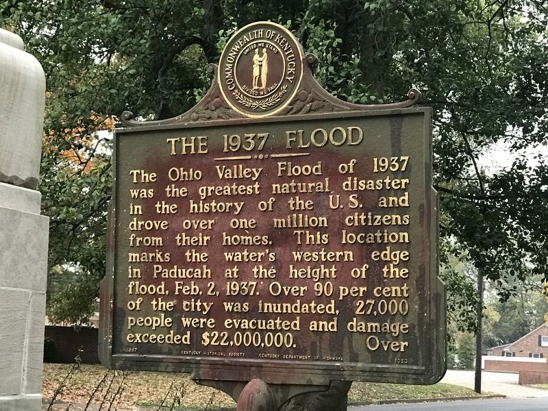
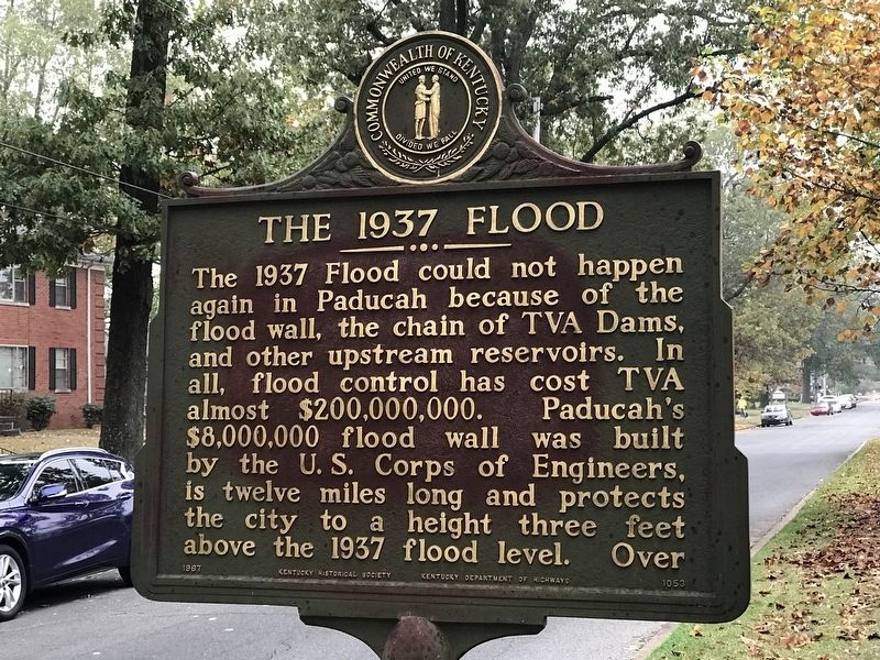
The 1937 Flood
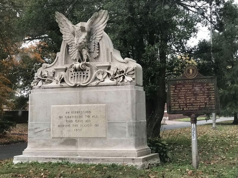
The Ohio Valley Flood of 1937 was the greatest natural disaster in the history of the U.S. and drove over one million citizens from their homes. This location marks the water's western edge in Paducah at the height of the flood, Feb. 2, 1937. Over 90 per cent of the city was inundated, 27,000 people were evacuated and damage exceeded $22,000,000.
The 1937 Flood could not happen again in Paducah because of the flood wall, the chain of TVA Dams, and other upstream reservoirs. In all, flood control has cost TVA almost $200,000,000. Paducah's $8,000,000 flood wall was built by the U.S. Corps of Engineers, is twelve miles long and protects the city to a height three feet above the 1937 flood level.
Erected 1967 by Kentucky Historical Society and Kentucky Department of Highways. (Marker Number 1053.)
Topics and series. This historical marker is listed in these topic lists: Charity & Public Work • Disasters • Waterways & Vessels. In addition, it is included in the Kentucky Historical Society series list. A significant historical date for this entry is February 2, 1937.
Location. 37° 4.402′ N, 88° 38.055′ W. Marker is in Paducah, Kentucky, in McCracken County. Marker is on Jefferson Street just west of North 29th Street, in the median. Touch for map. Marker is at or near this postal address: 2914 Jefferson St, Paducah KY 42001, United States of America. Touch for directions.
Other nearby markers. At least 8 other markers are within walking distance of this marker. Church of Christ (about 500 feet away, measured in a direct line); First Baptist Church (about 500 feet away); Westminster United Presbyterian Church (approx. 0.2 miles away); Temple Israel (approx. 0.2 miles away); Oscar Turner (approx. half a mile away); Otis Dinning Drive (approx. 0.6 miles away); Immanuel Baptist (approx. 0.6 miles away); Wacinton (approx. 0.7 miles away). Touch for a list and map of all markers in Paducah.
More about this marker. The marker is approximately 2 1/2 miles west of the present Ohio River shore.

Photographed By Duane and Tracy Marsteller, October 25, 2020
3. The 1937 Flood Marker
The monument (to the left) was commissioned by the Jaycees and installed by Beasley Monument Company. It was dedicated June 19, 1938. The eagle at the top of the monument was once on the post office facility at 5th and Broadway. That facility was demolished in 1937 — City of Paducah
Credits. This page was last revised on October 28, 2020. It was originally submitted on October 28, 2020, by Duane and Tracy Marsteller of Murfreesboro, Tennessee. This page has been viewed 499 times since then and 71 times this year. Photos: 1, 2, 3. submitted on October 28, 2020, by Duane and Tracy Marsteller of Murfreesboro, Tennessee. • Devry Becker Jones was the editor who published this page.

