Paducah in McCracken County, Kentucky — The American South (East South Central)
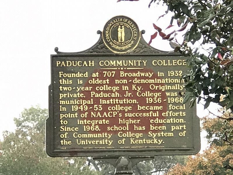
Paducah Community College
Erected 1982 by Kentucky Historical Society and Kentucky Department of Transportation. (Marker Number 1721.)
Topics and series. This historical marker is listed in these topic lists: African Americans • Civil Rights • Education. In addition, it is included in the Kentucky Historical Society series list. A significant historical year for this entry is 1932.
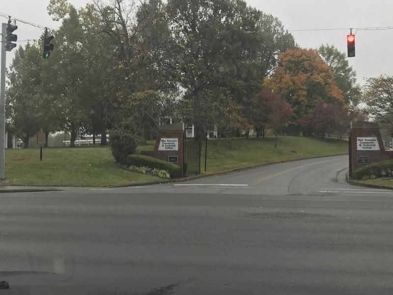
Location. 37° 3.345′ N, 88° 39.625′ W. Marker is in Paducah, Kentucky, in McCracken County. Marker is at the intersection of Alben Barkley Drive (U.S. 62) and Clint Hill Boulevard, on the right when traveling east on Alben Barkley Drive. Touch for map. Marker is at or near this postal address: 4805 Alben Barkley Dr, Paducah KY 42001, United States of America. Touch for directions.
Other nearby markers. At least 8 other markers are within 2 miles of this marker, measured as the crow flies. First Christian Church (approx. half a mile away); Whitehaven (approx. 0.6 miles away); Unity Church (approx. 0.6 miles away); Angles / “The Veep” (approx. 0.8 miles away); Alben W. Barkley / Barkley's Grave (approx. 0.8 miles away); Immanuel Baptist (approx. 1.2 miles away); The Lone Oak (approx. 1.7 miles away); First Baptist Church (approx. 1.8 miles away). Touch for a list and map of all markers in Paducah.
Credits. This page was last revised on October 29, 2020. It was originally submitted on October 28, 2020, by Duane and Tracy Marsteller of Murfreesboro, Tennessee. This page has been viewed 201 times since then and 33 times this year. Photos: 1, 2. submitted on October 28, 2020, by Duane and Tracy Marsteller of Murfreesboro, Tennessee. • Devry Becker Jones was the editor who published this page.

