Near Paducah in McCracken County, Kentucky — The American South (East South Central)
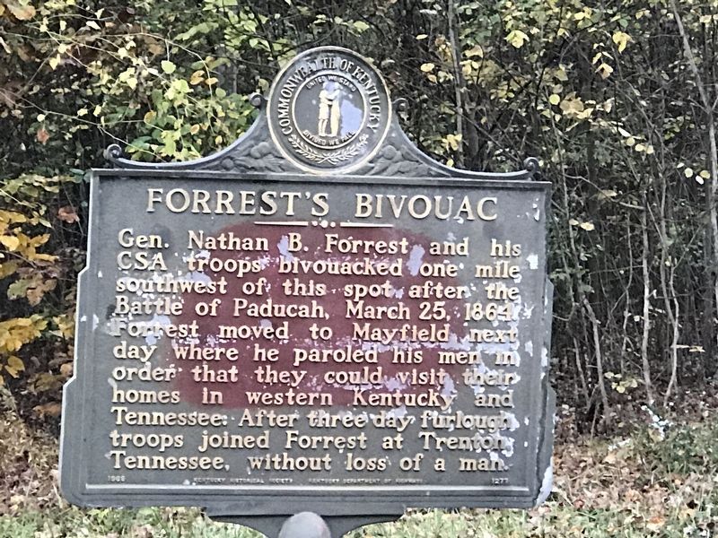
Forrest's Bivouac
Erected 1968 by Kentucky Historical Society and Kentucky Department of Highways. (Marker Number 1277.)
Topics and series. This historical marker is listed in this topic list: War, US Civil. In addition, it is included in the Kentucky Historical Society series list. A significant historical date for this entry is March 25, 1864.
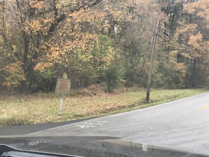
Location. 37° 1.267′ N, 88° 37.852′ W. Marker is near Paducah, Kentucky, in McCracken County. Marker is at the intersection of Old Mayfield Road (State Road 994) and Schmidt Road, on the right when traveling south on Old Mayfield Road. Touch for map. Marker is in this post office area: Paducah KY 42003, United States of America. Touch for directions.
Other nearby markers. At least 8 other markers are within 4 miles of this marker, measured as the crow flies. Alben W. Barkley / Barkley's Grave (approx. 2.2 miles away); The Lone Oak (approx. 2.3 miles away); Whitehaven (approx. 2.4 miles away); Angles / “The Veep” (approx. 2.9 miles away); Paducah Community College (approx. 2.9 miles away); First Christian Church (approx. 3 miles away); Immanuel Baptist (approx. 3.3 miles away); Unity Church (approx. 3.3 miles away). Touch for a list and map of all markers in Paducah.
Credits. This page was last revised on October 29, 2020. It was originally submitted on October 29, 2020, by Duane and Tracy Marsteller of Murfreesboro, Tennessee. This page has been viewed 270 times since then and 39 times this year. Photos: 1, 2. submitted on October 29, 2020, by Duane and Tracy Marsteller of Murfreesboro, Tennessee. • Bernard Fisher was the editor who published this page.

